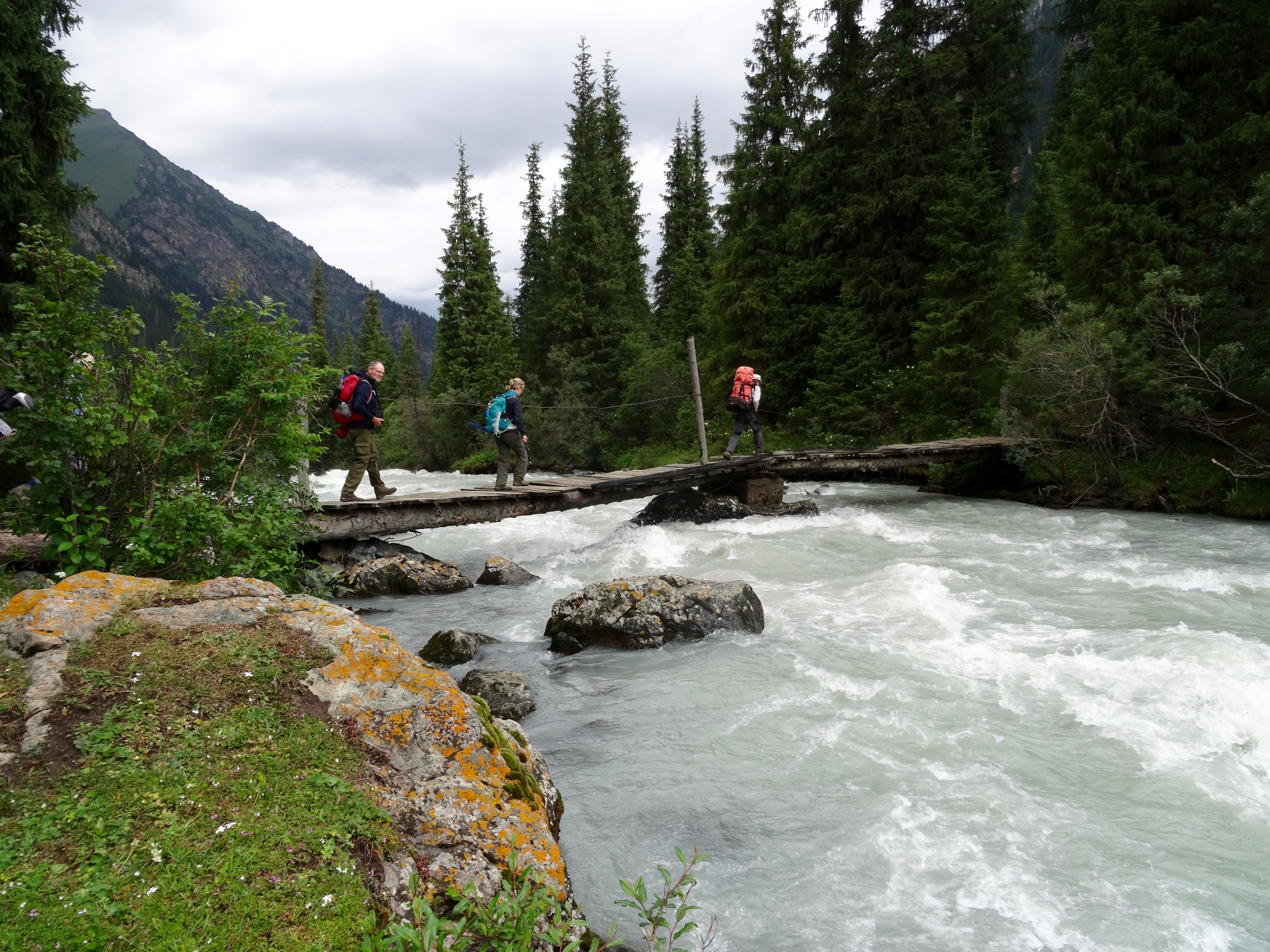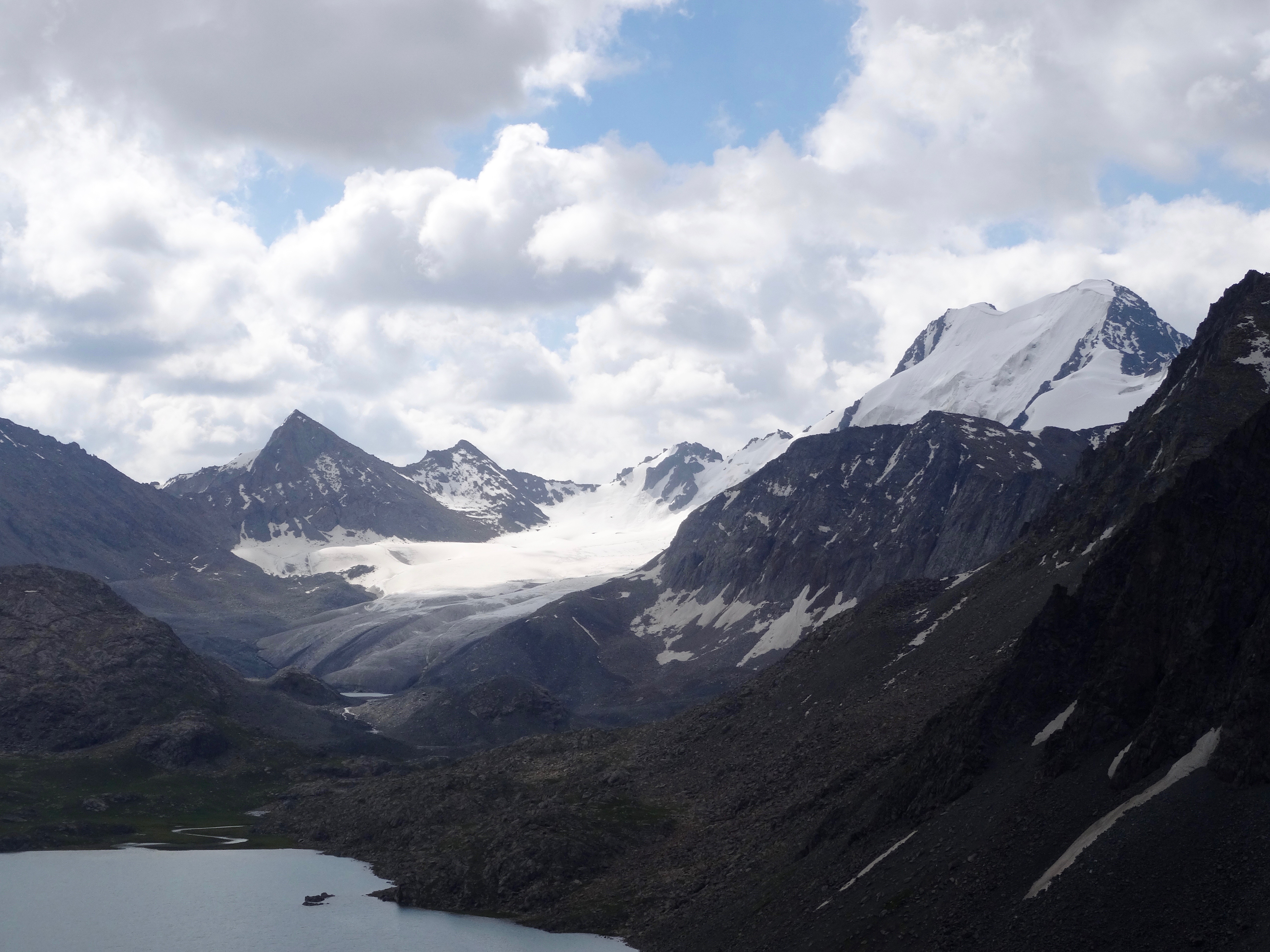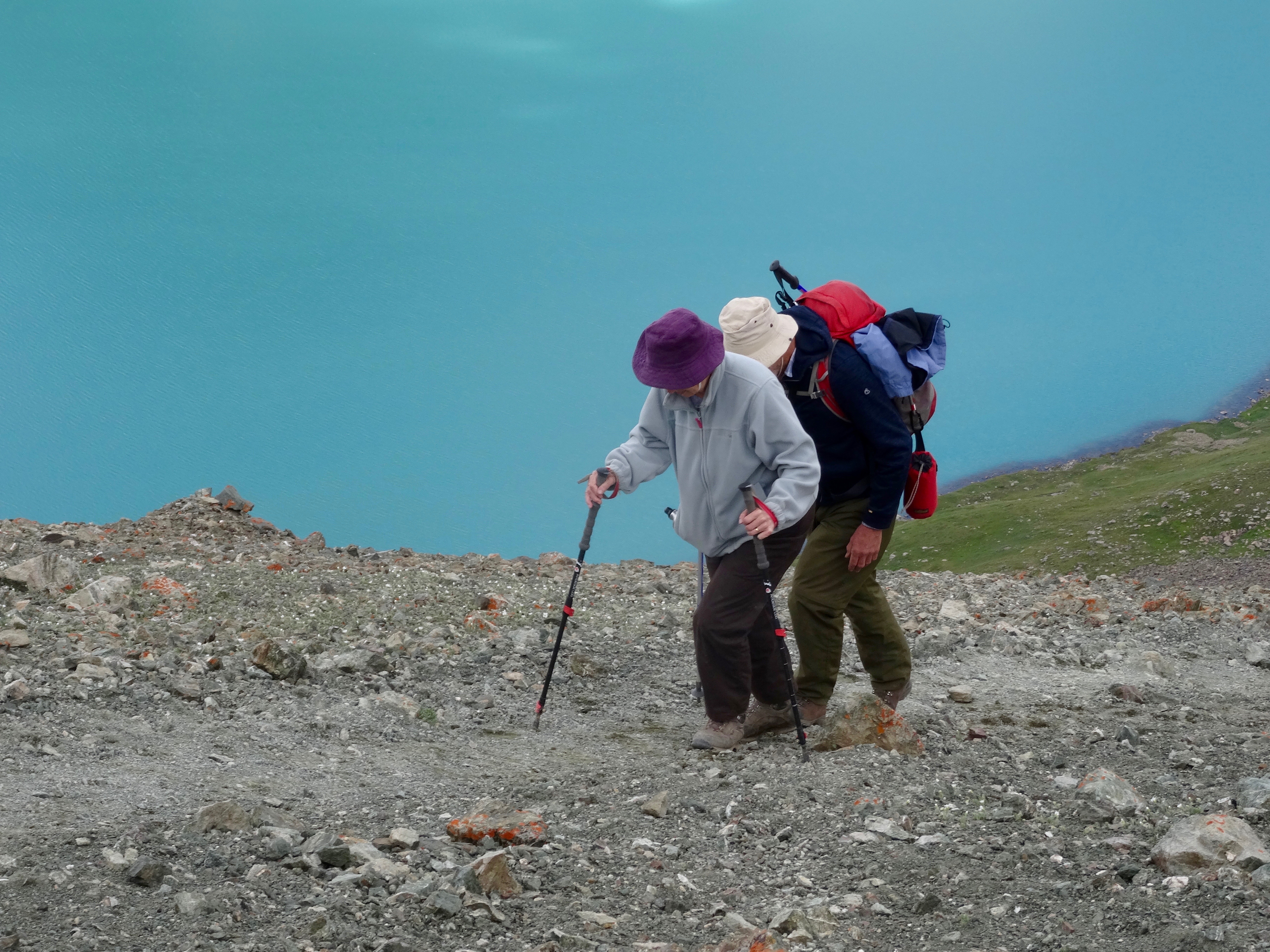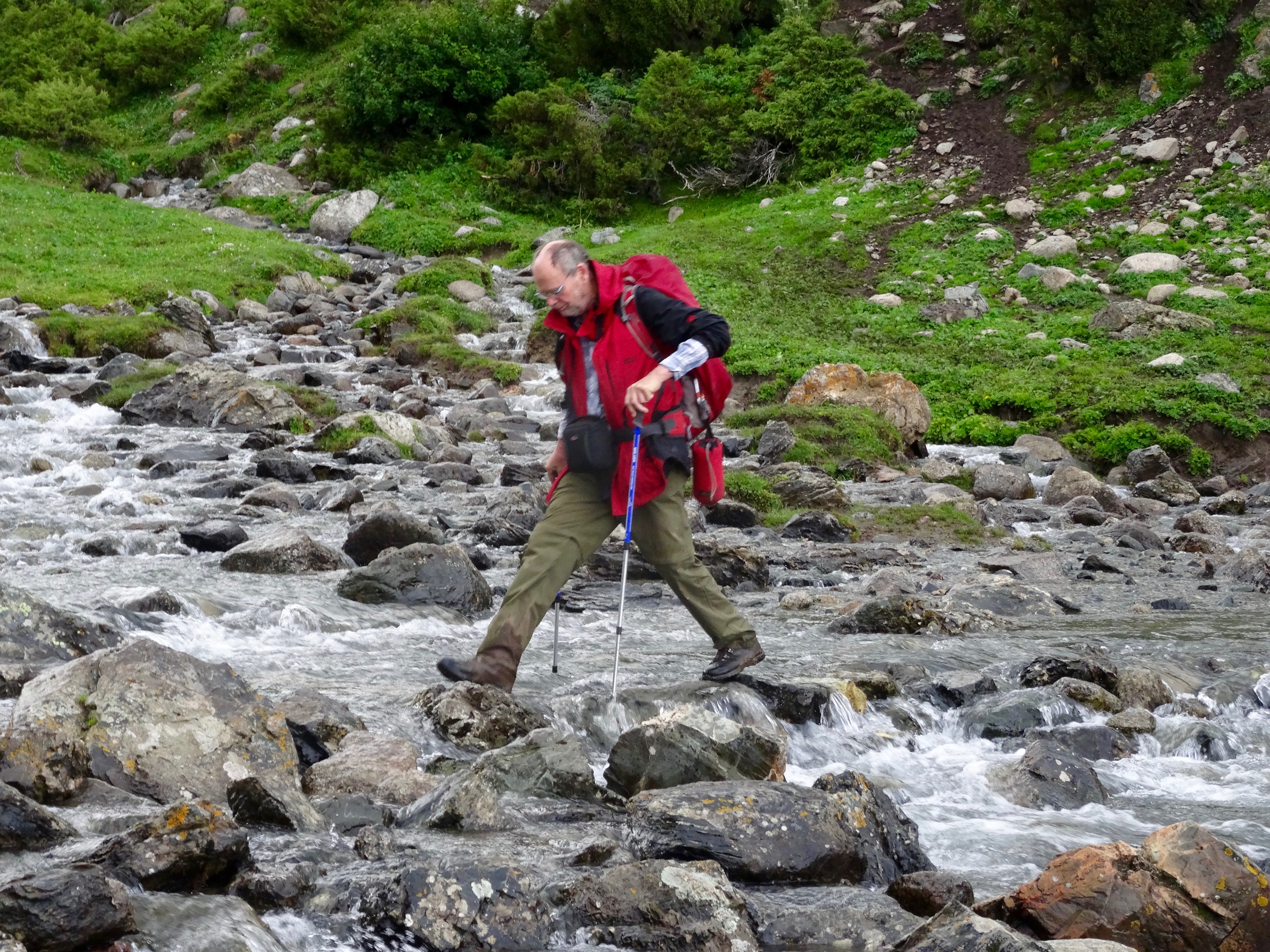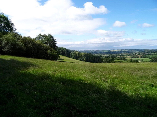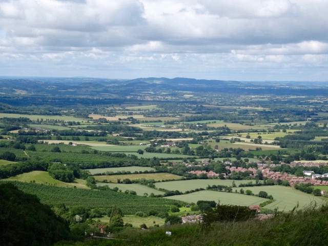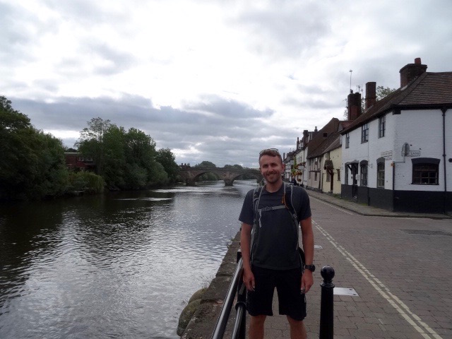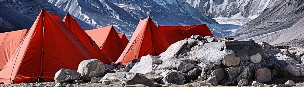
 Phase 2 of the itinerary started with a very long day of travelling. In order to get out from Altyn Arushan we had to take an old Russian Army truck for a very bumpy two-hour ride into Karakol. The further north we traveled the mountains diminished in size until we were on a high altitude, agricultural plain.
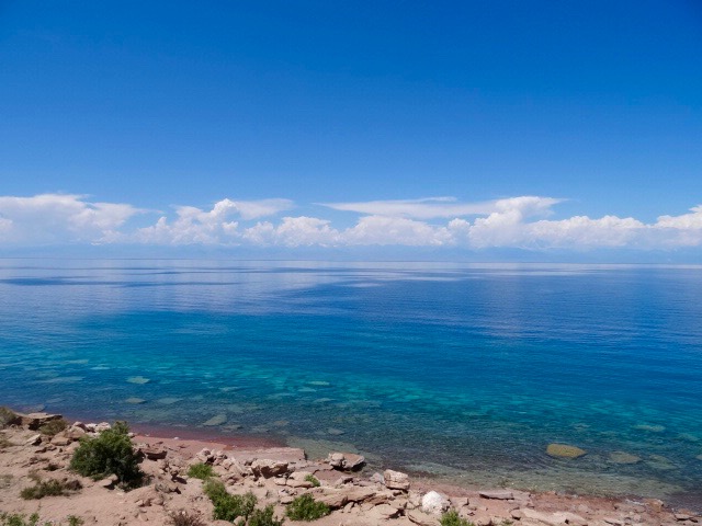
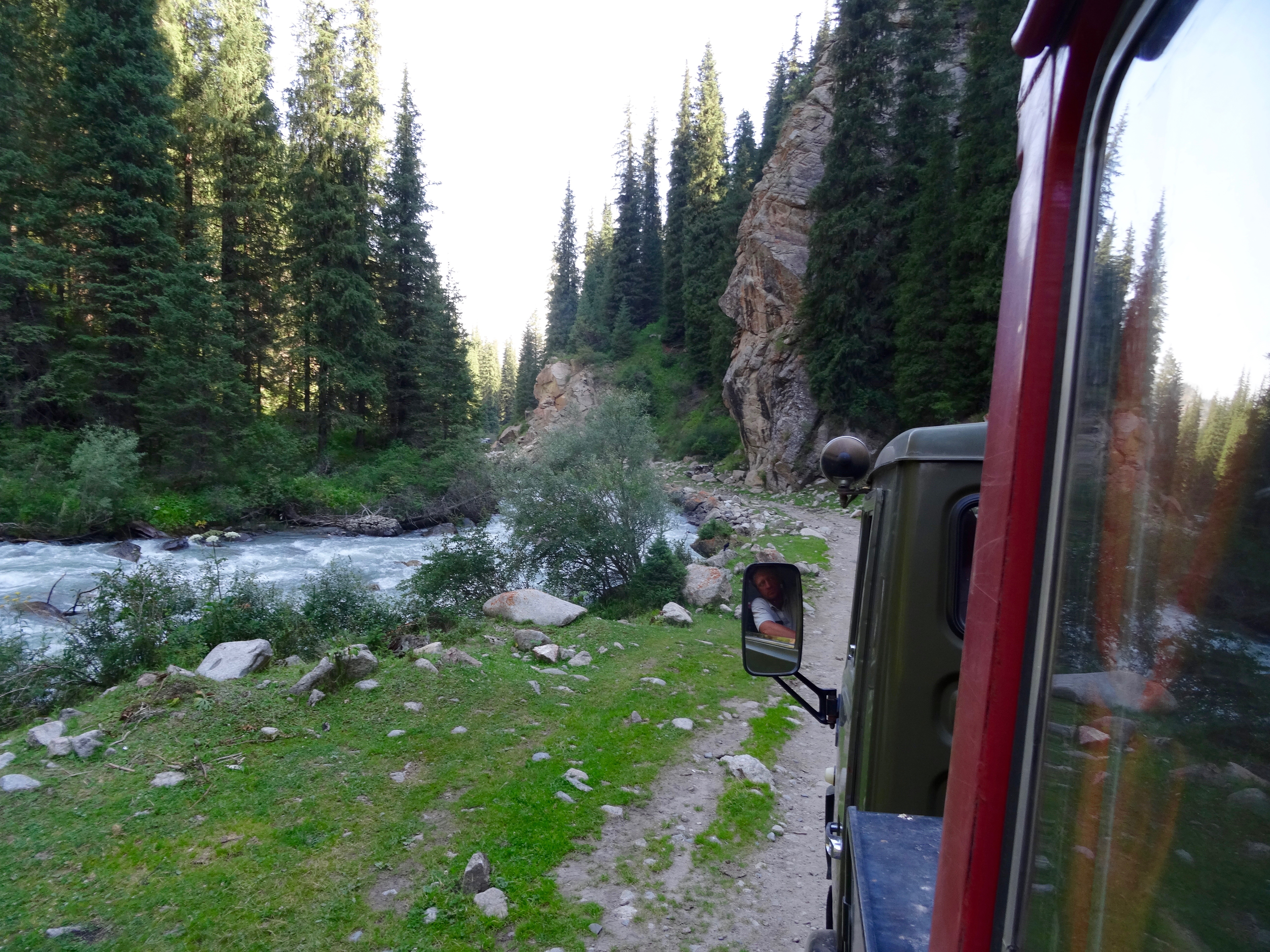
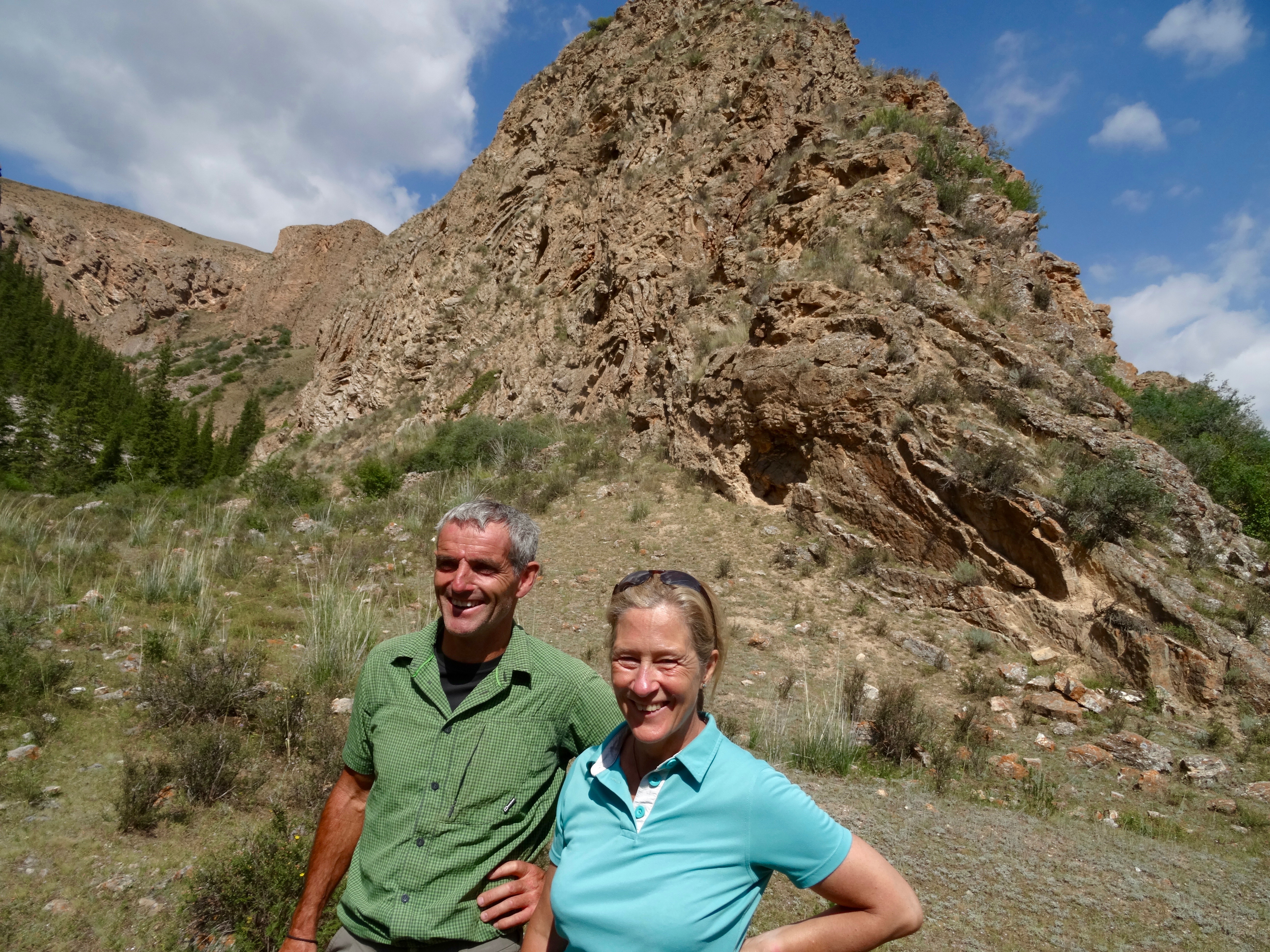
In Karakol we met up with Paul and transferred to our minibus and driver, Sergei. After a short delay we started our journey west back along the southern shore of Lake Issy-Kul. Because we were running a little behind schedule, Sergei seemed to be driving too fast and was throwing the minibus around. It felt uncomfortable sitting in the back of the bus.
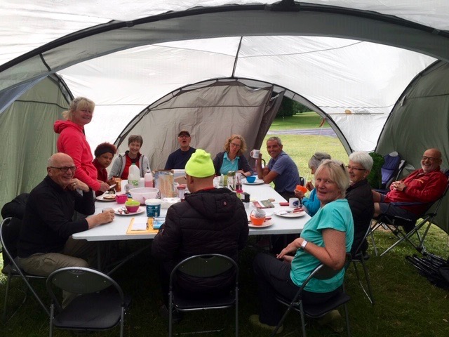
We were due to eat lunch at 12.30 at a resort on the shores of the lake at Tong, but it was 1.30 when we arrived. It was an interesting resort trying to cover every need. The dining room was housed in a wattle and daub structure. The food was lovely. Outside were a number of yurts that provided accommodation. In the middle of it all was a finger post that pointed you in the direction of a wide range of activities. It all looked unfinished and as good an idea as it might seem, I wondered how it could survive. It was clearly trying to attract foreign tourists but the season is only four months long at it’s maximum. What happens for the other eight months?
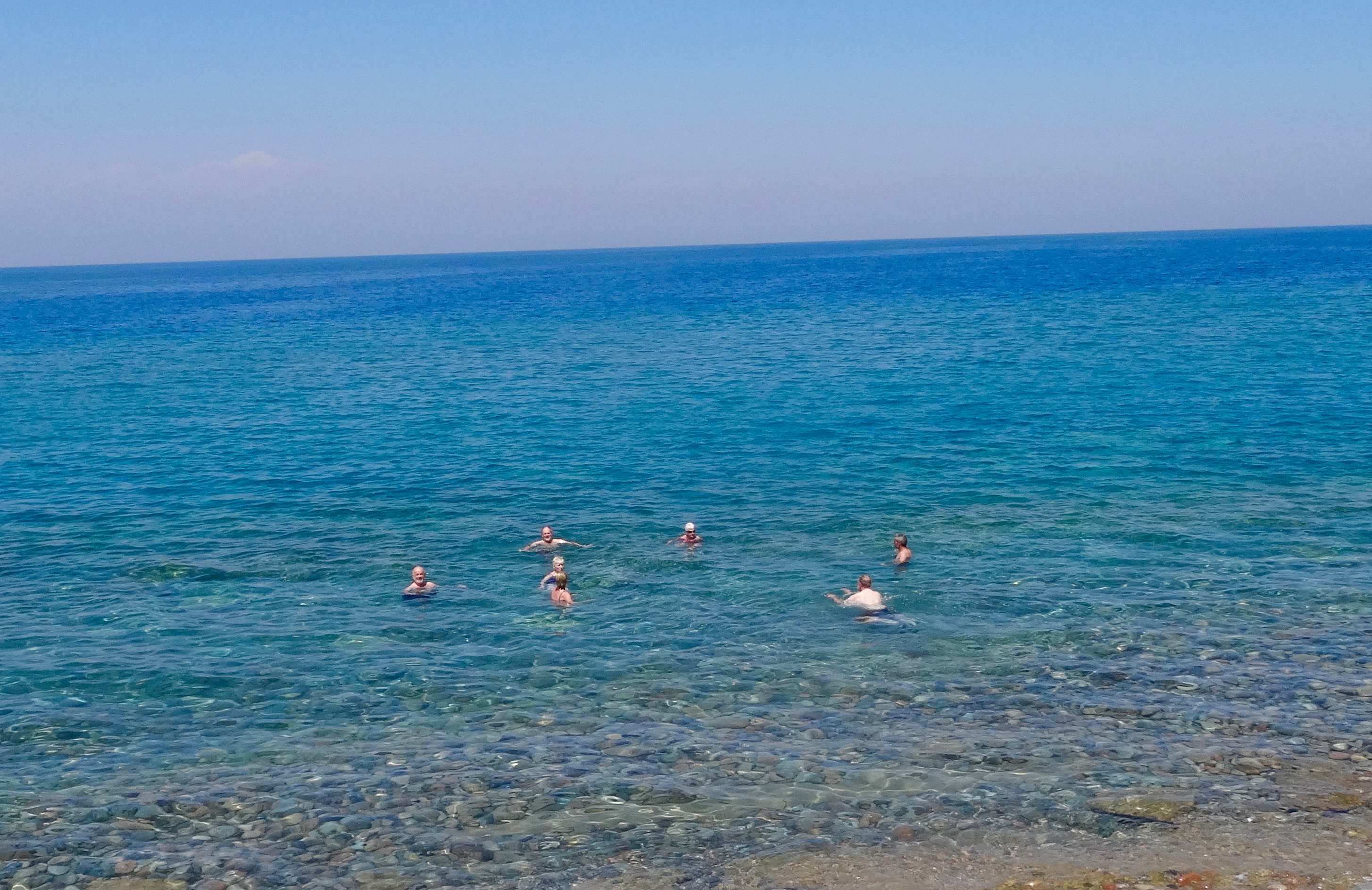 After lunch we all went for a swim. The water was beautiful, cooling but not cold and as clear as can be. As the shoreline here was rocky it made entry and exit of the water very difficult, lacking elegance in every respect. This is another factor that is going to make it difficult for this resort to succeed.
Continuing our journey, Sergei drove more considerately. We eventually left the lake and headed into what seemed to be the interior. It was a desolate, barren landscape where very little grew and nobody lived. It looked as if, in the past, there had been some attempt to build an irrigation scheme but it had been abandoned before it was finished. This is a feature of Kyrgyzstan, lots of abandoned buildings and half built ones that seem to have stalled.
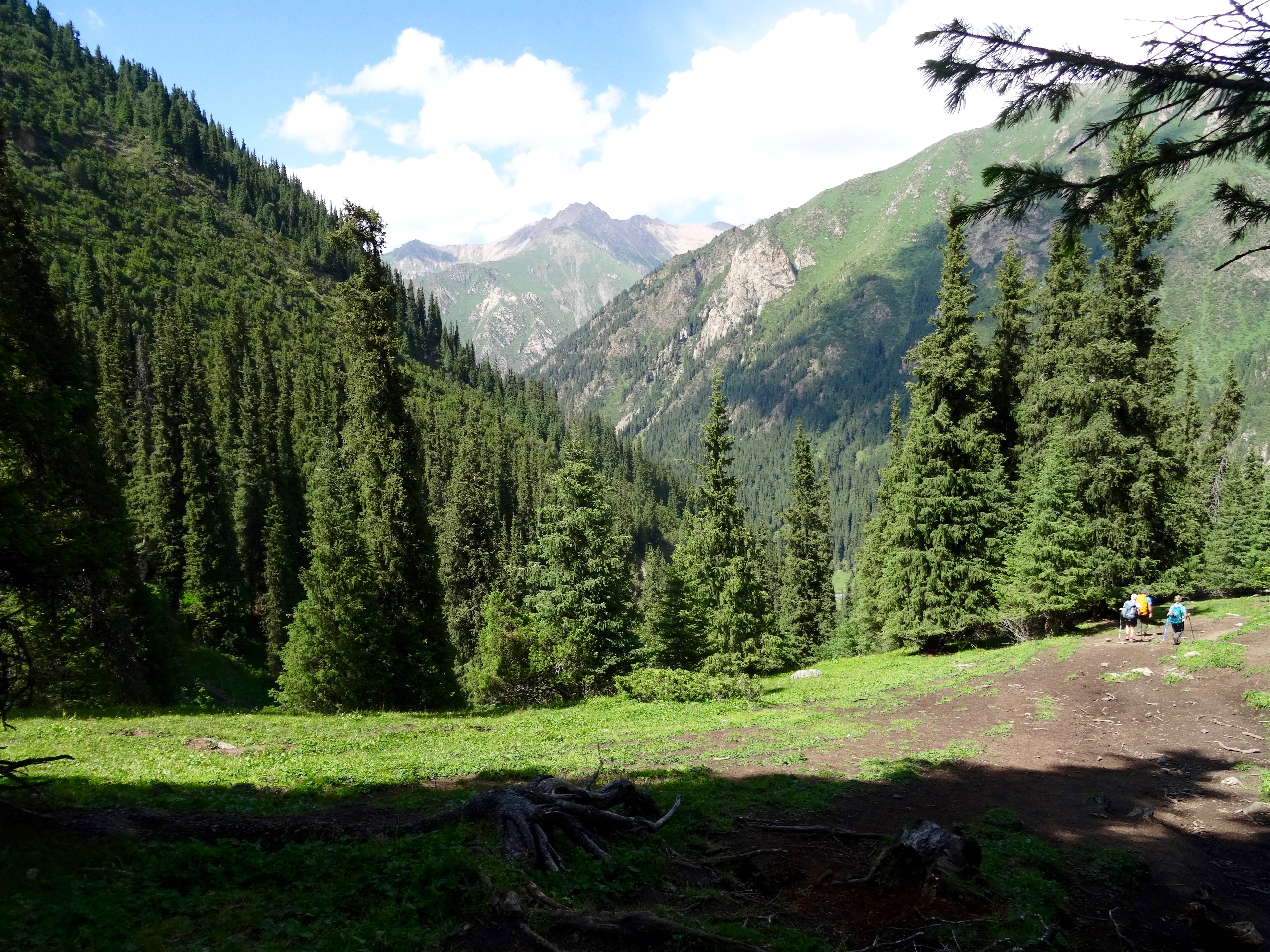
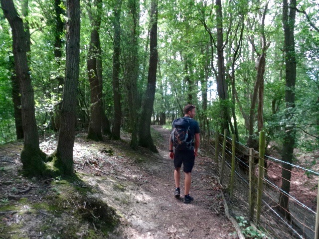
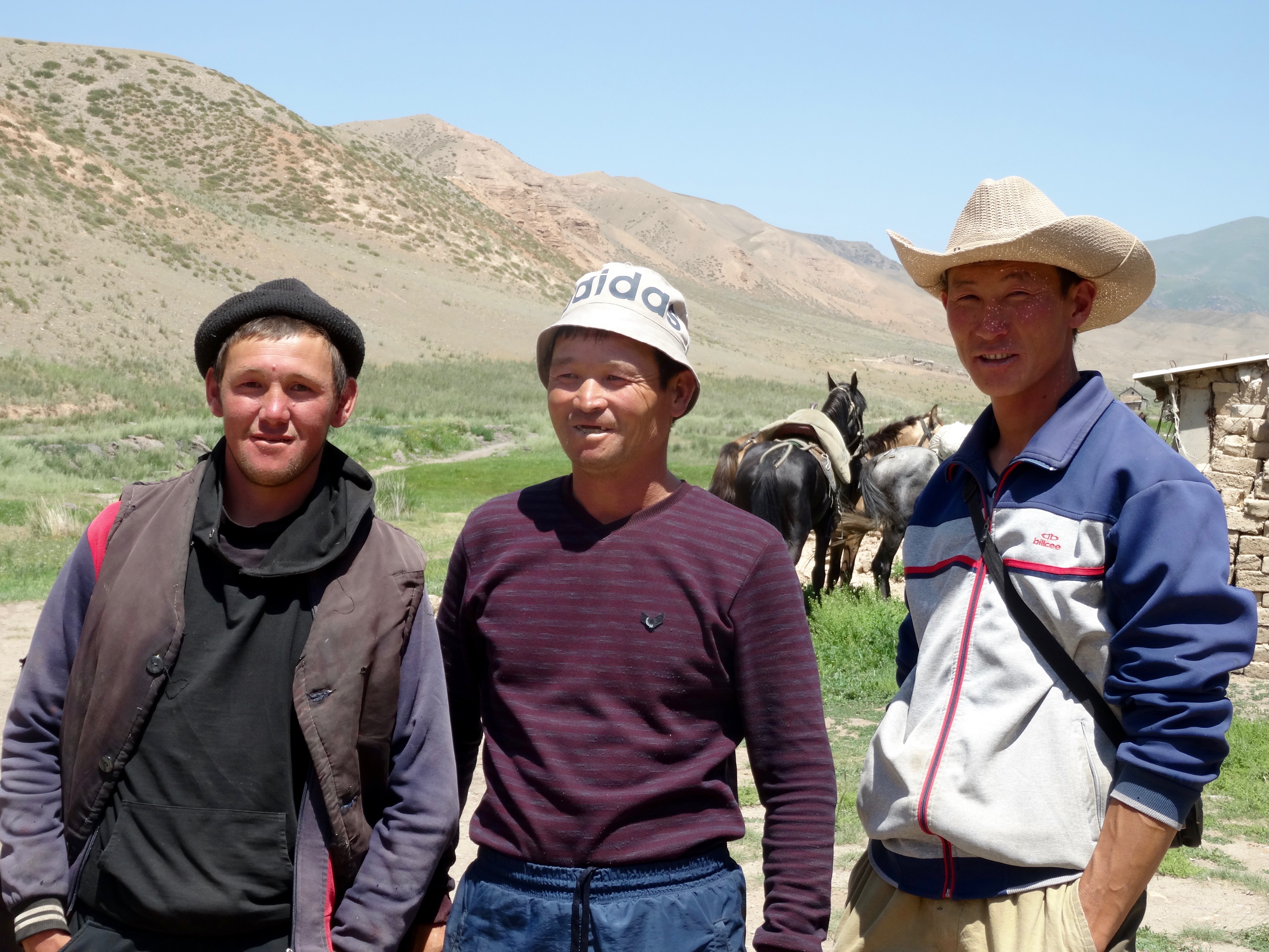
We soon joined the main highway to Naryn that continues to the Chinese border at the Turroget Pass. It was now a much better road. In the town of Kachkot we picked up Oulan, who was going to be the walking guide for Mike and Paul while the rest of us were horse riding.
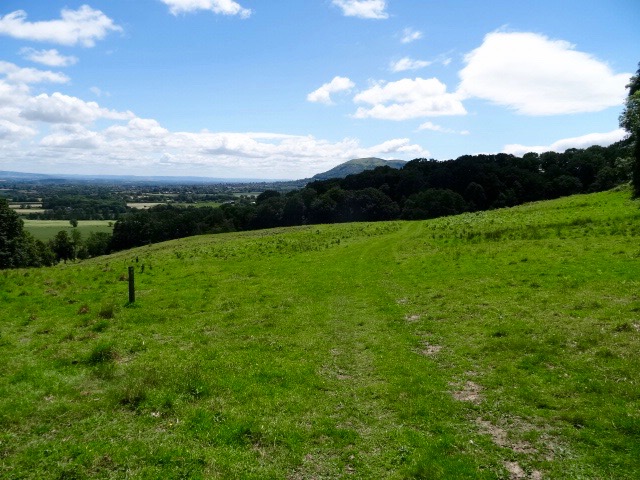
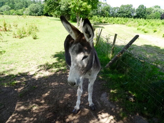
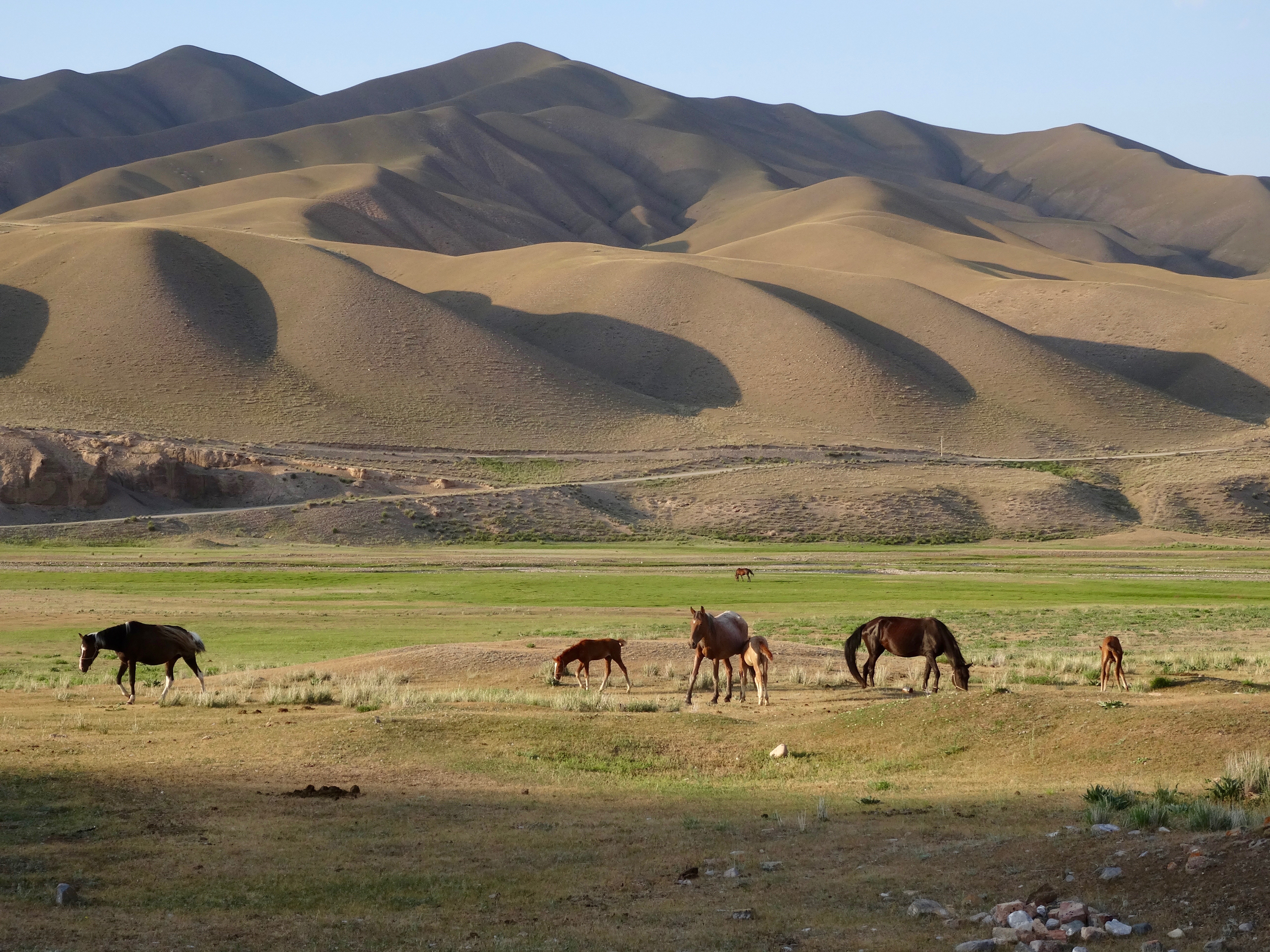
The journey was taking much longer than anticipated and when we turned off the main road on to a grit road we still had 56km to go to reach Son Kul. The hills were now green and we were passing farmsteads and hillsides dotted with flocks of sheep and goats and herds of cattle. Near the top of the pass we came across a herd of yak, not an animal I have associated with Kyrgyzstan, but why not? With 75% of the country above 3000m it is ideal yak country.
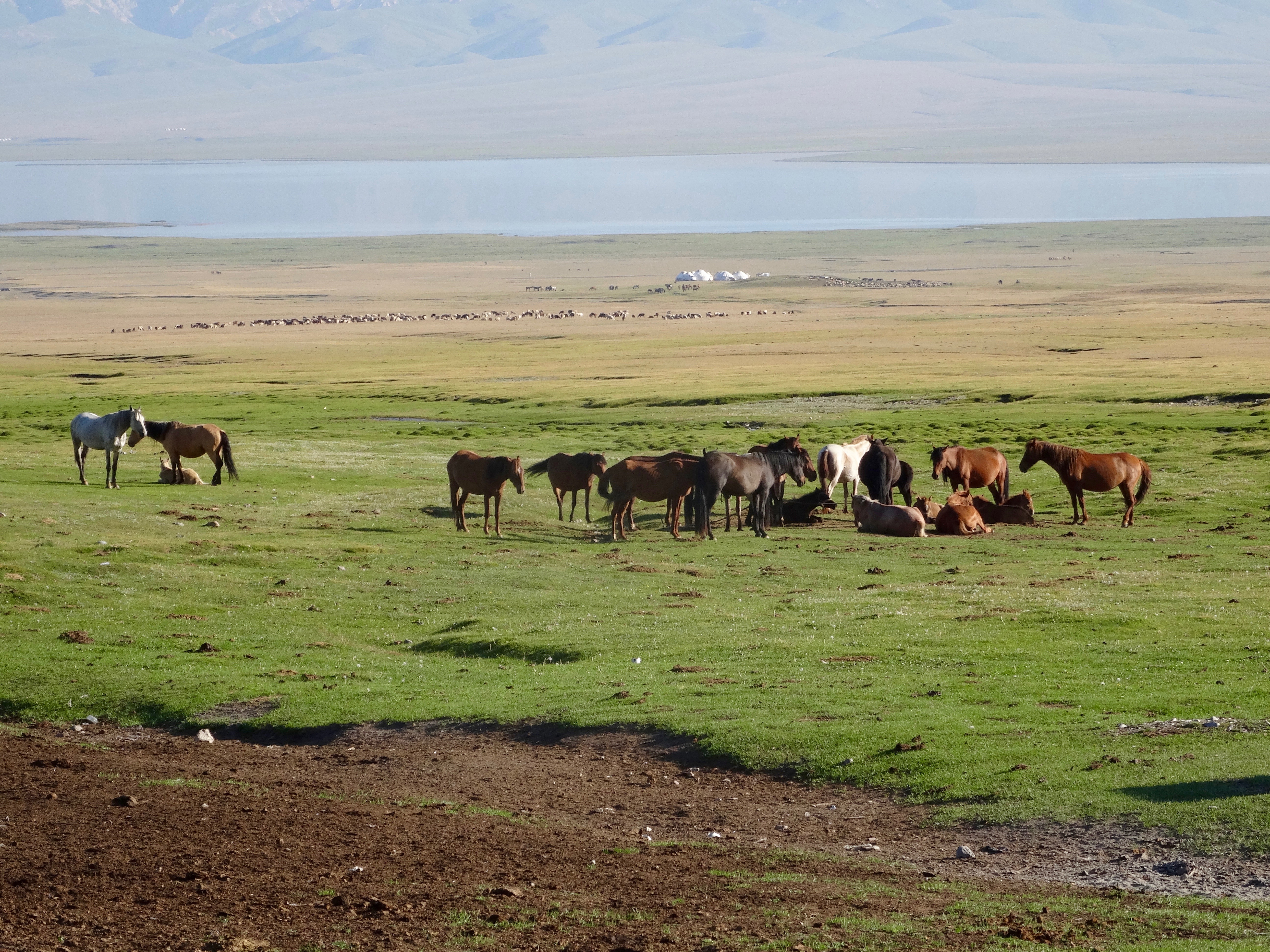 At the top of the pass we looked down on Lake Son Kul and the vast bowl of grassland dotted with many yurts, all erected for the summer grazing season. Now we had to find our yurts among the many. We had first to drive round to the south side of the lake. We turned off the grit road on to a dirt track and approached a couple of yurts. Alex spoke to those in residence but it was not ours. The same scene was played out at another collection of yurts, clearly set up as a tourist accommodation. Again not ours. As we returned to the grit road, we came across a car parked at the side of the road. The driver got out and waved us down. He had been waiting for us for three hours. We followed him to three yurts where the family were waiting to greet us. We would never have found it had we not been met on the road. We had been travelling for twelve hours!
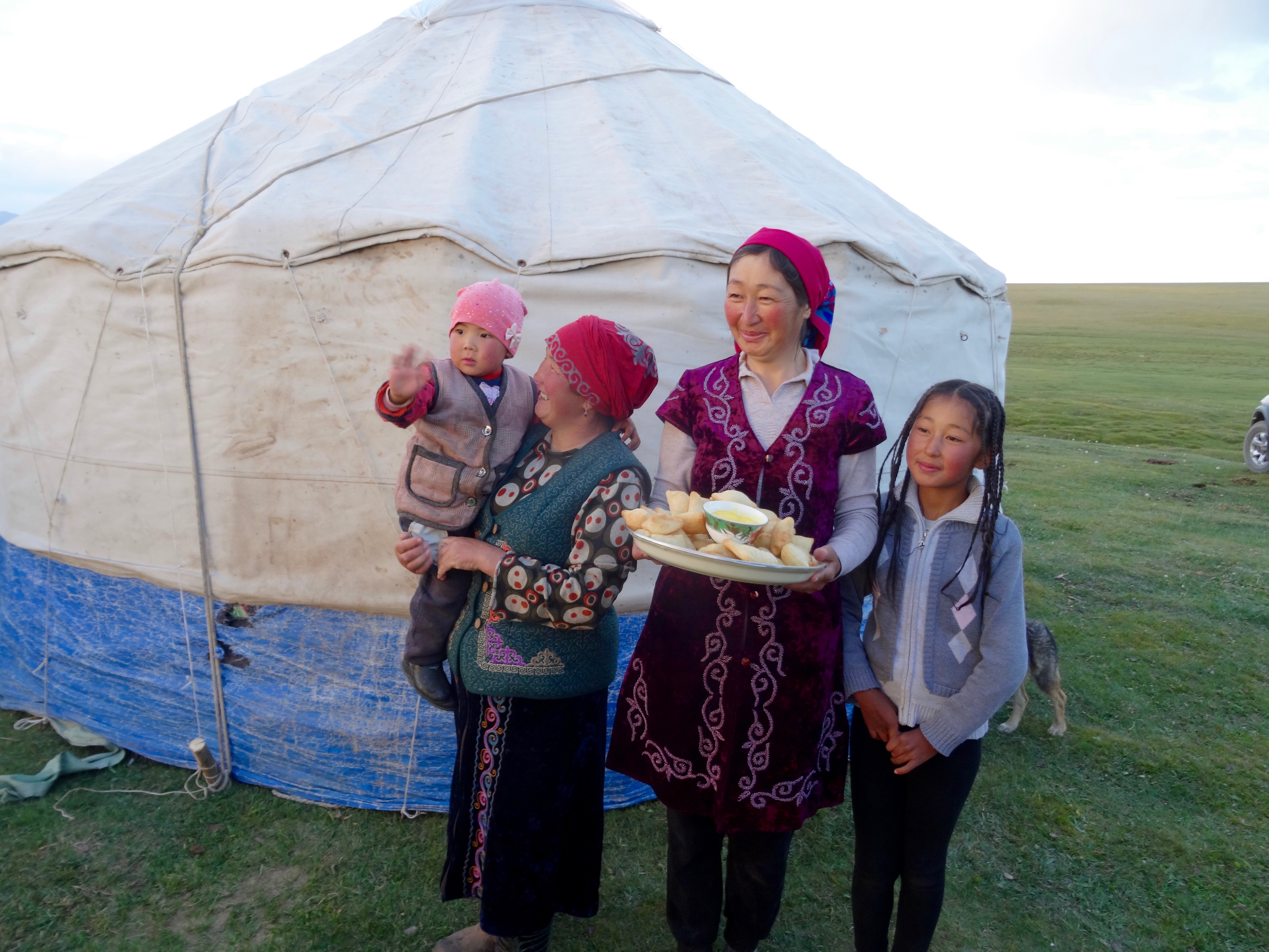
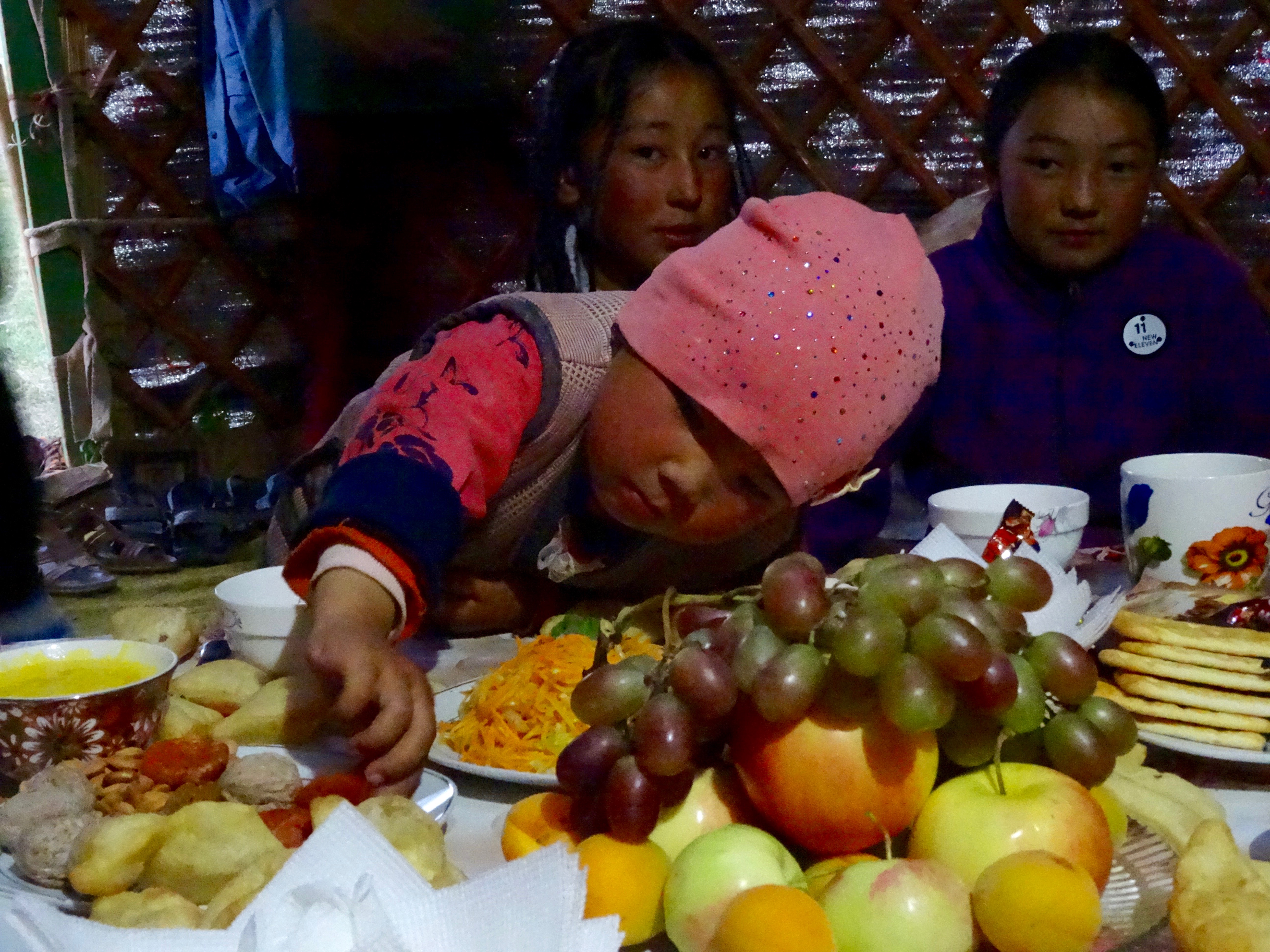
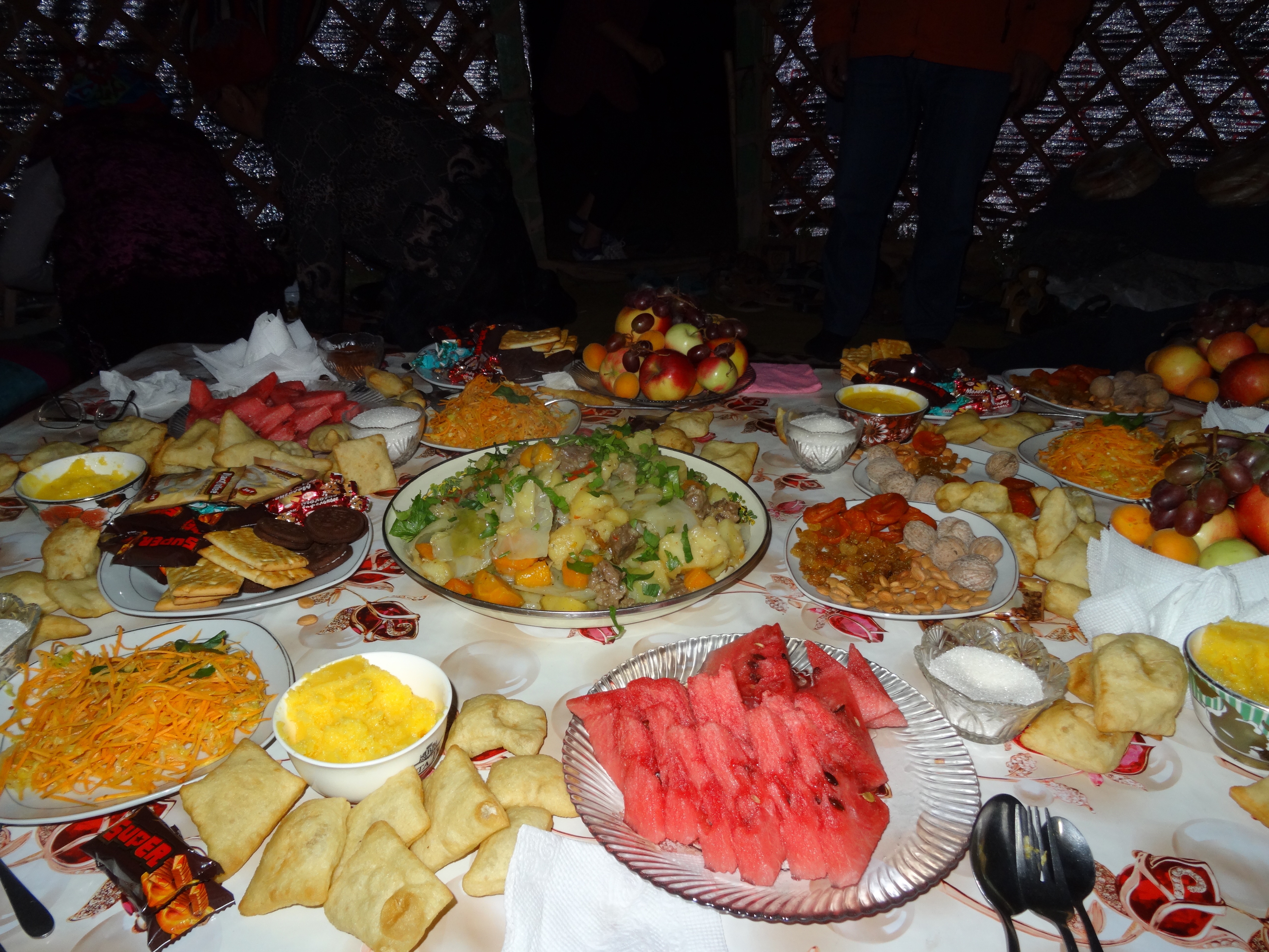 The man who met us, I assumed, was the head of the family and his name was Mr Bakyt. It turned out that he was an agent and had arranged all aspects of this phase of our trip. The family we were staying with live most of the year in Naryn but come up to Son Kul with their animals for the summer grazing. Seeing an opportunity to give tourists a genuine Kyrgyz experience, Mr Bakyt had arranged for us to stay with the family. During our conversation it came out that we were the first tourists to stay there. They fed us really well, the table groaning under the weight of food put out for us. They were the perfect hosts. Mr Bakyt introduced us to his business partner Adina, and together they hope to be able to provide a memorable experience. Listening to them and sharing with the family proved emotional and we all felt privileged to be there.
 It was getting late so we retired to our yurt and a number of quilts laid on the floor. It was extremely comfortable and I had my best sleep.
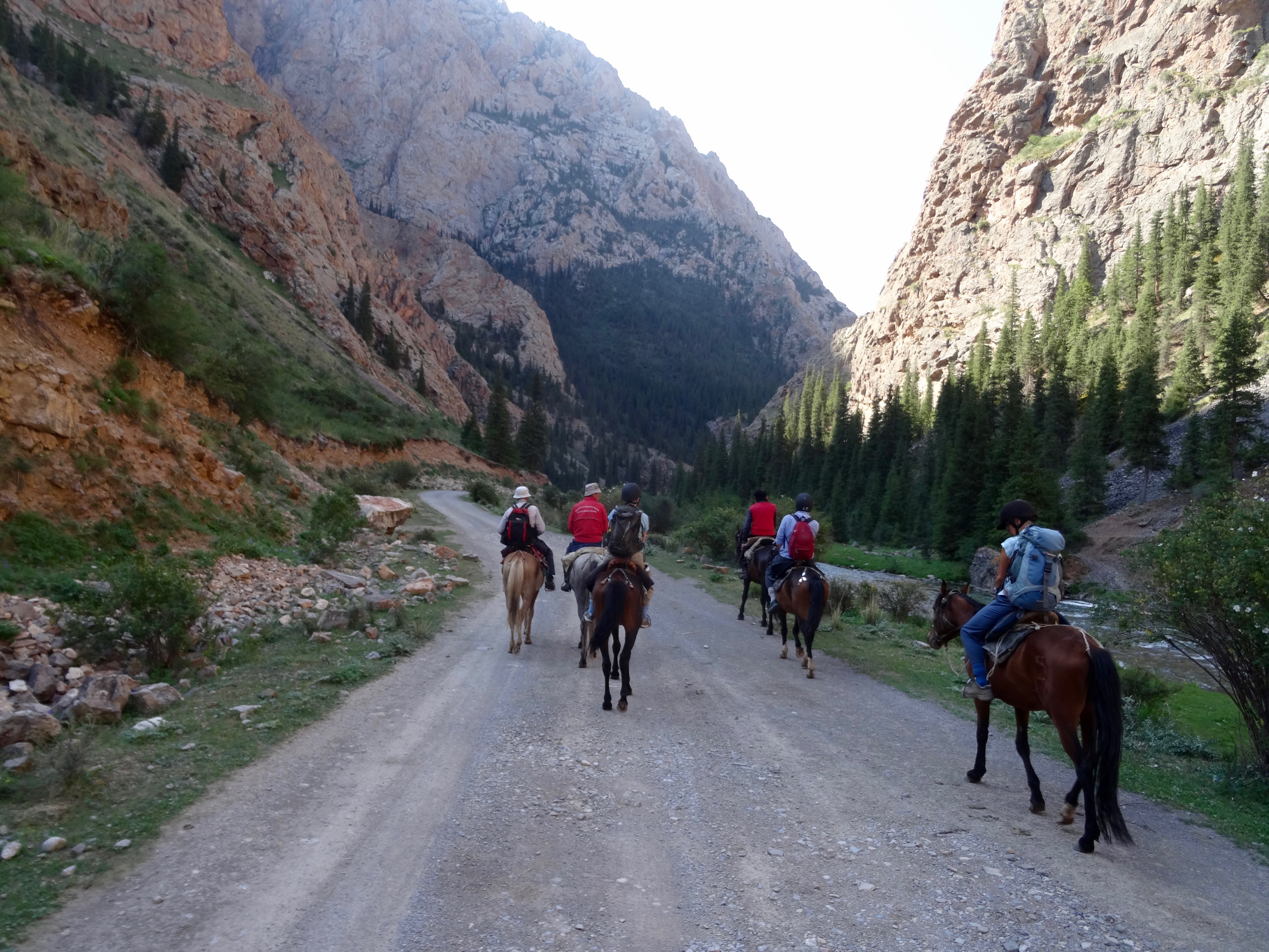
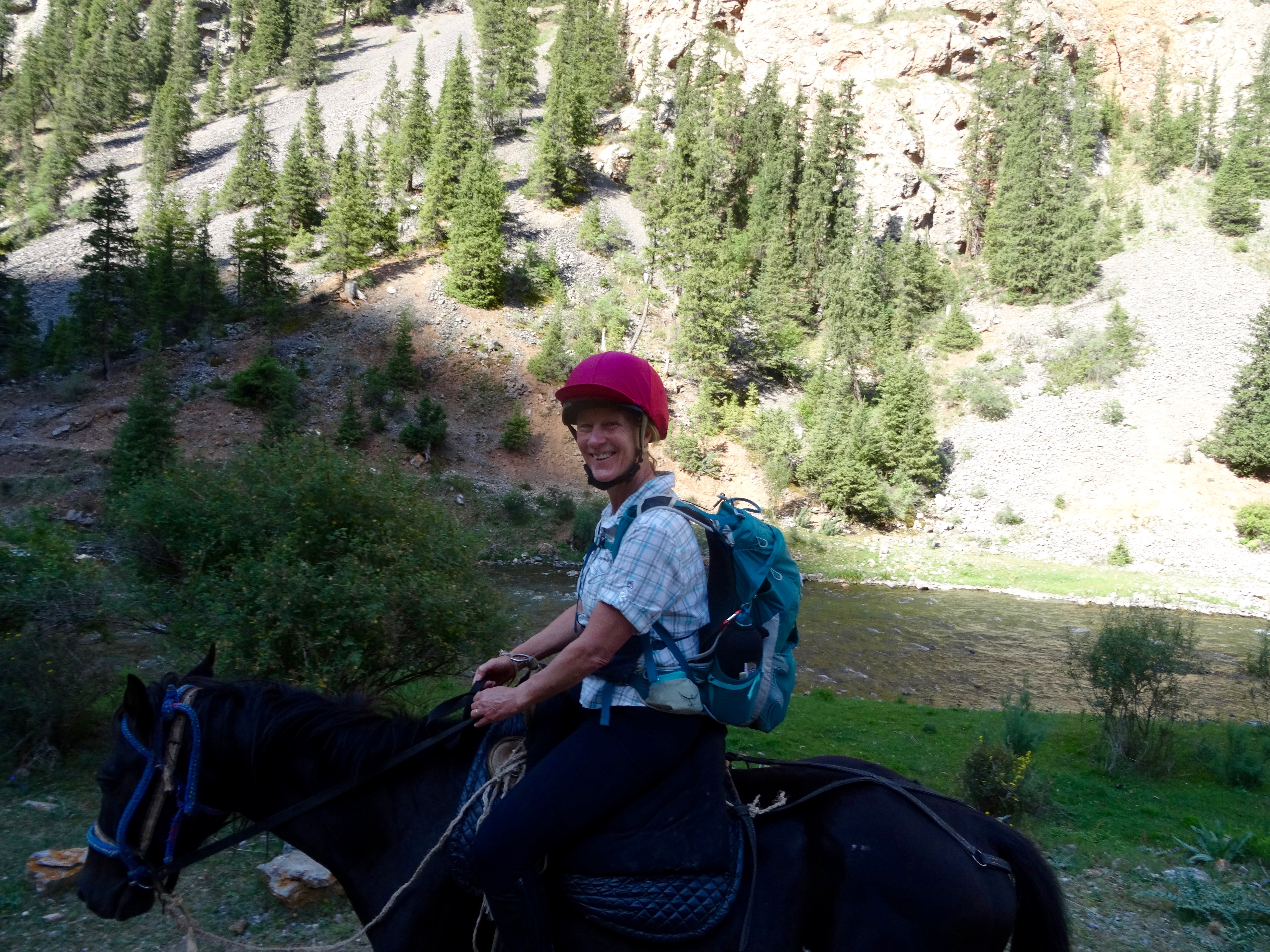
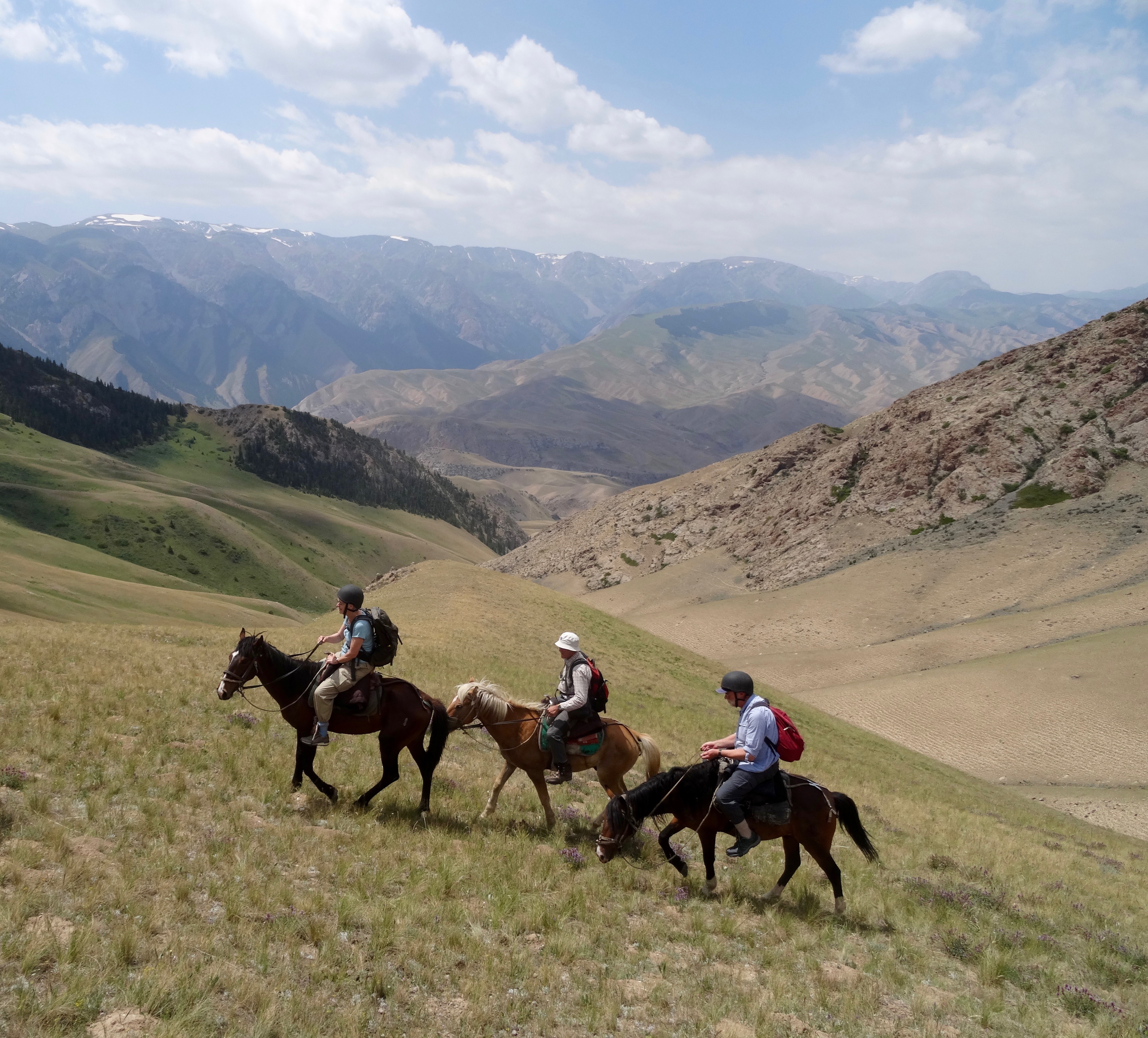
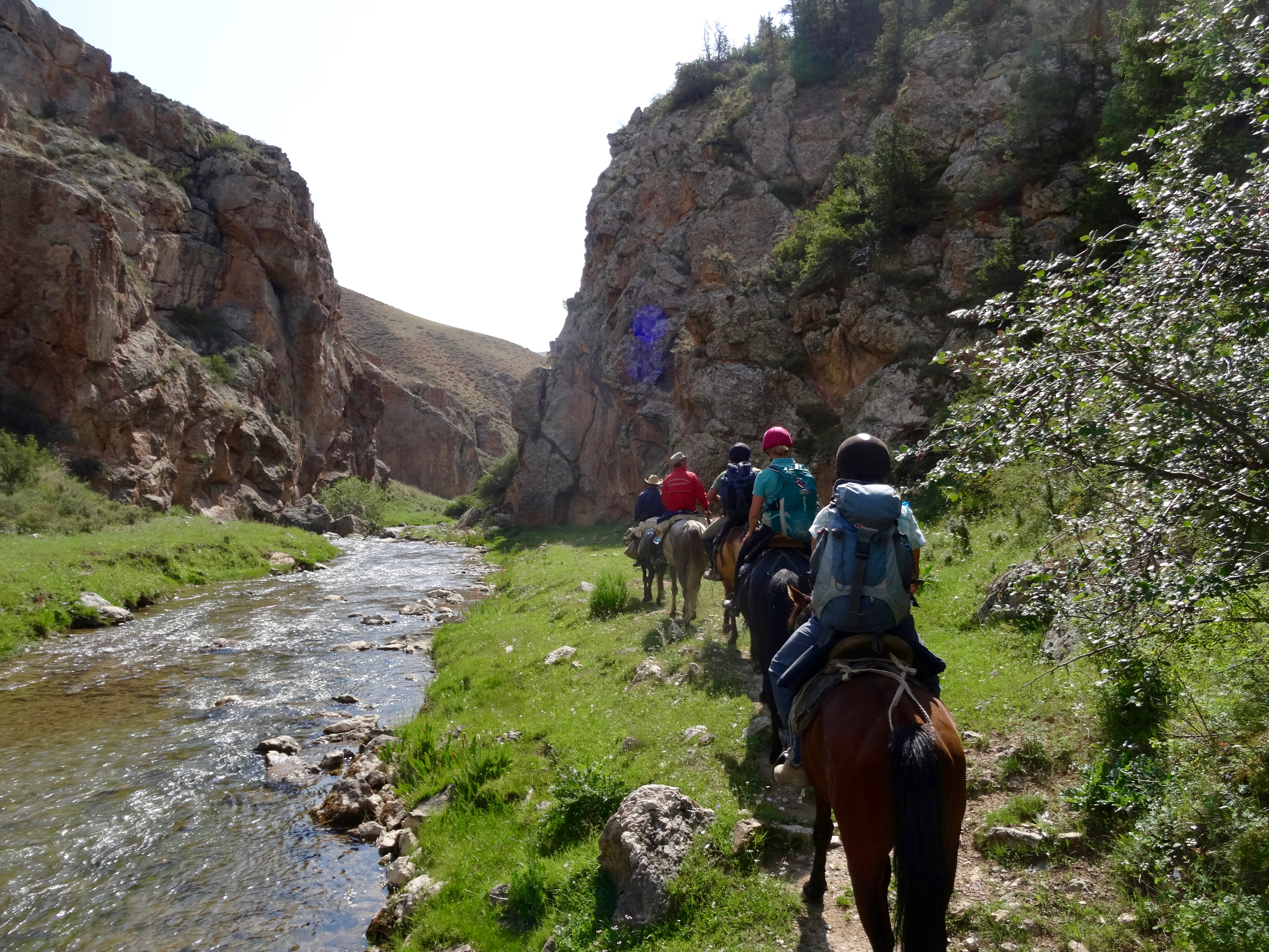
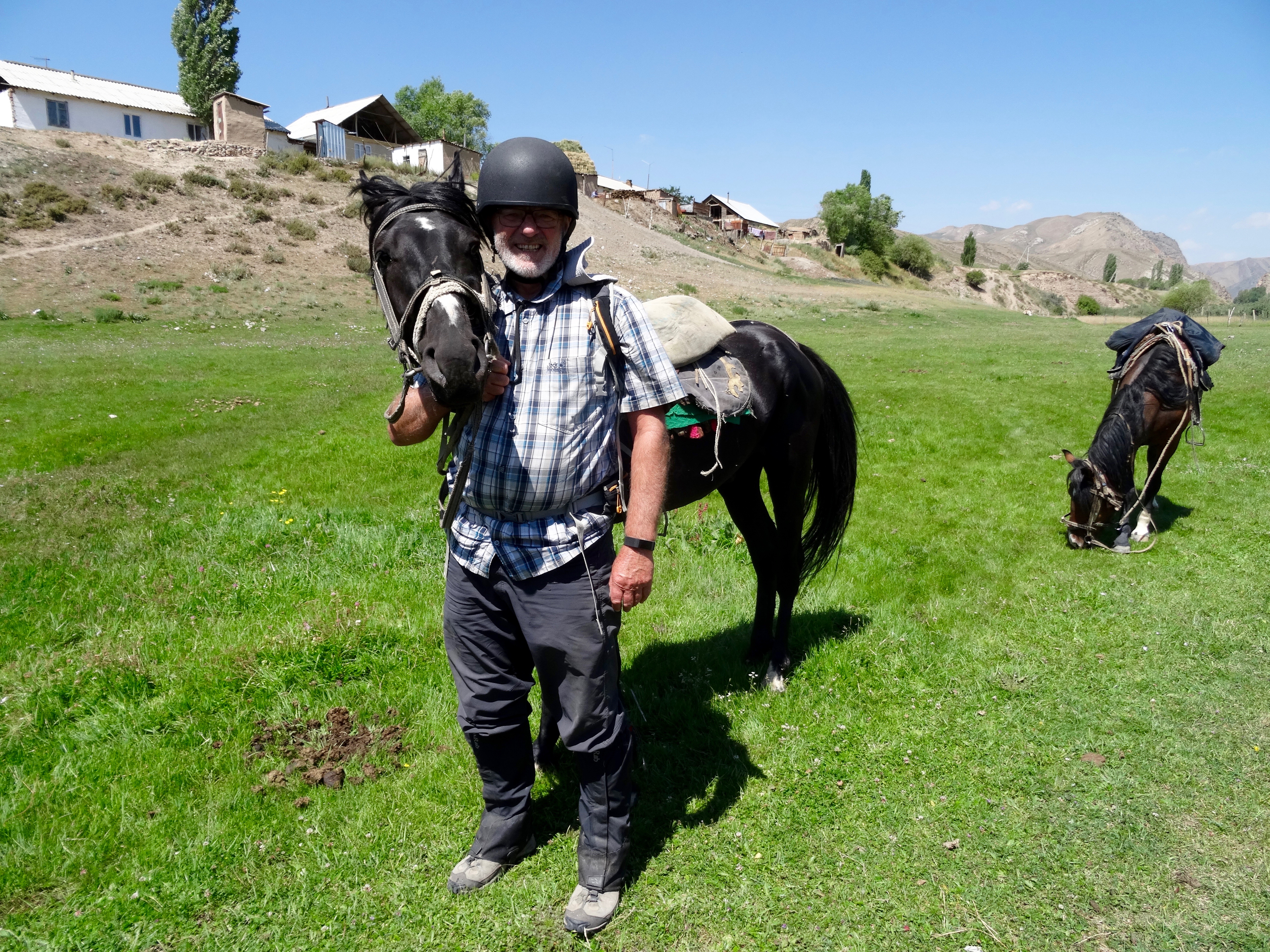
After breakfast the horses arrived and we prepared ourselves for a day in the saddle. I was quite nervous about getting back on a horse. Apart from a brief outing on horseback in Lo Mantang, Nepal, when we borrowed some of the king’s horses, I have not ridden for ten years. My steed was quite tall but much narrower than horses I had ridden back home and was much more comfortable than I was expecting. While my horse was tall, Terry’s was much smaller. Terry is much the same size as me. He looked as if he was on a Lambretta when he should have been on a Harley Davidson. I named my horse Nigel (pronounced Nighghghgel) to protect his true identity. Basically, I couldn’t understand, let alone spell, the name they told me.
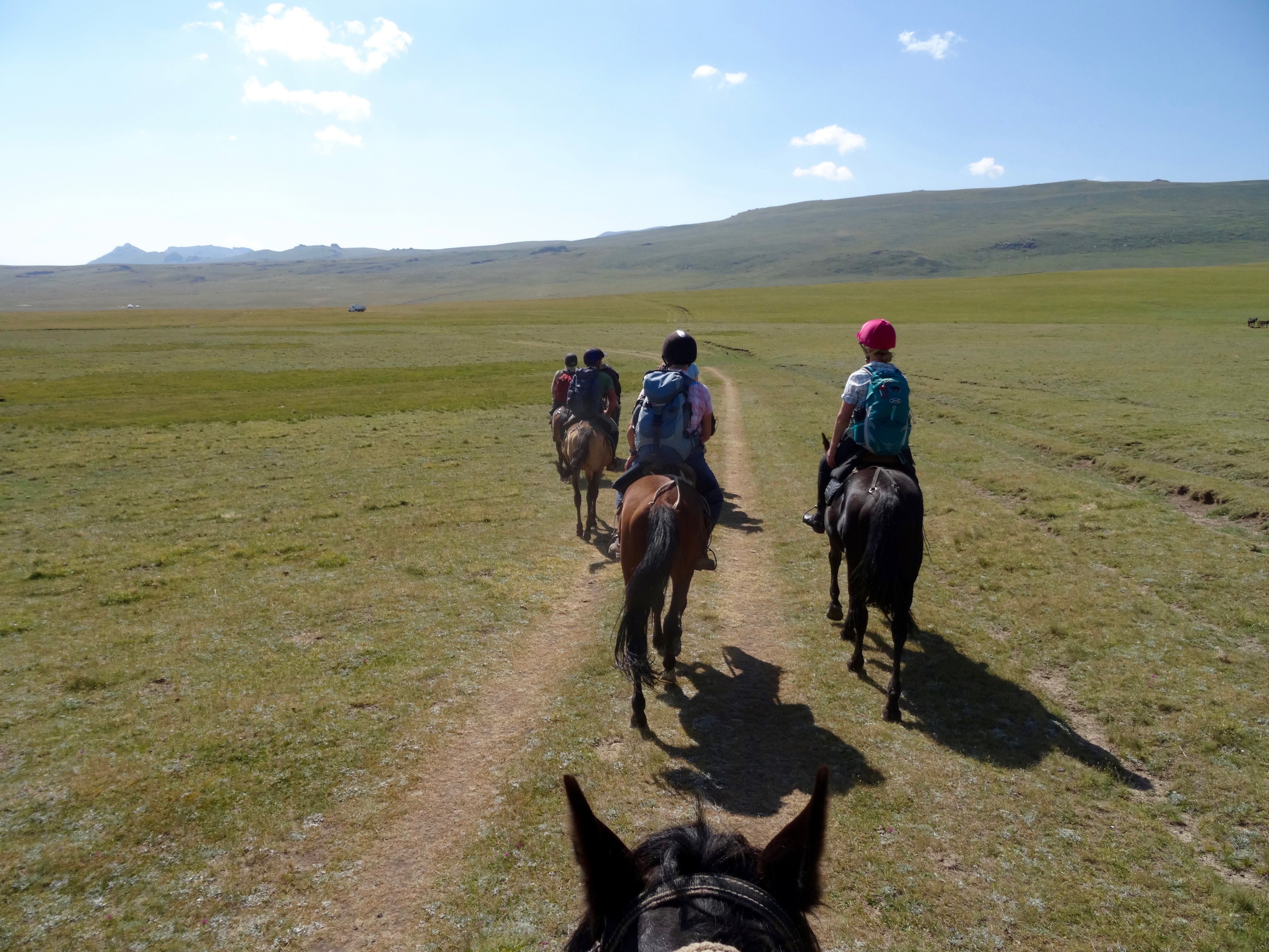 Leaving our yurt camp we headed off, away from the lake, gradually climbing. It was a good reintroduction to riding but I realised I had to concentrate and that made me feel very thirsty, something I would have to live with as my water was in my rucksack on my back and not really accessible.
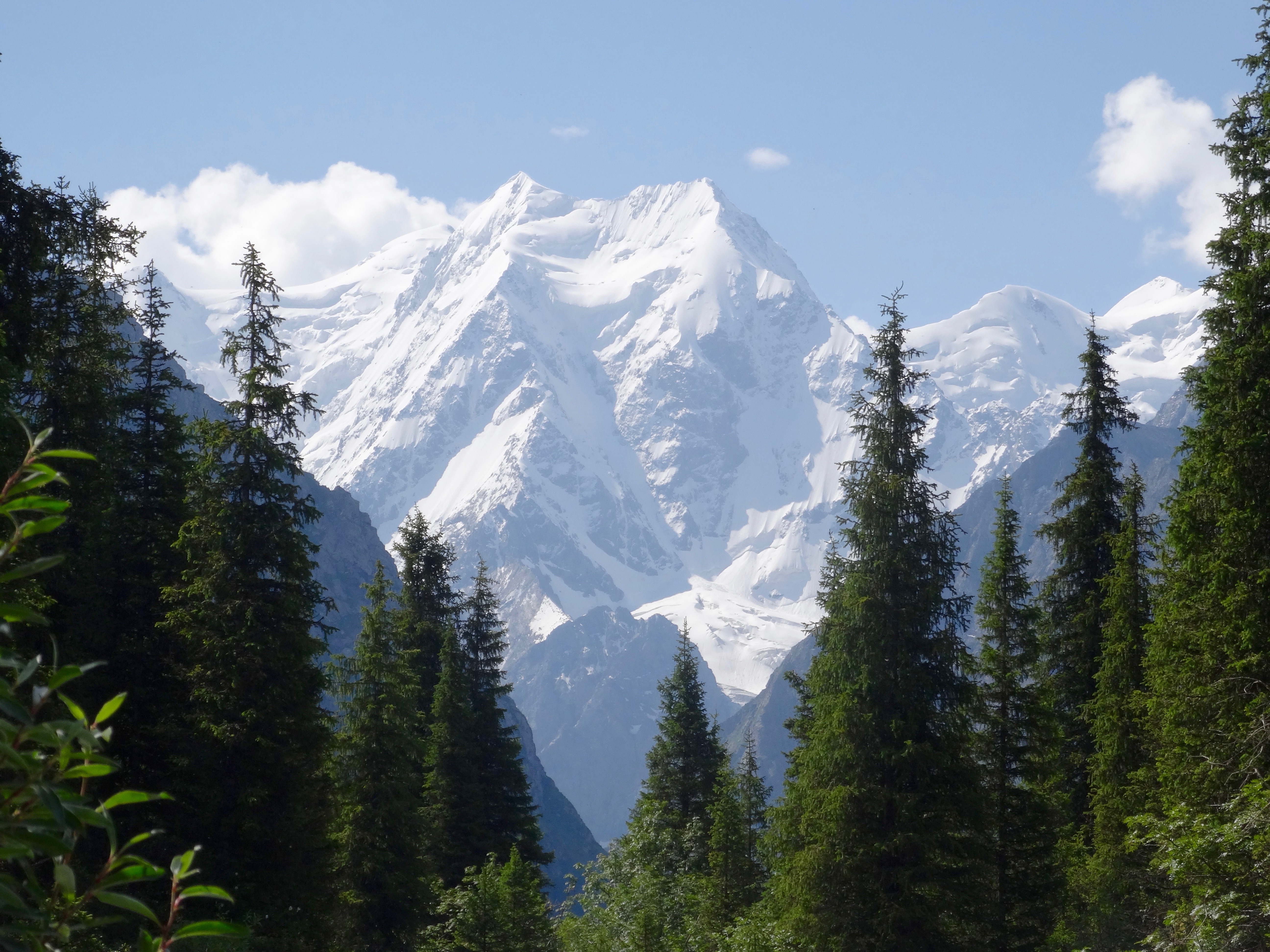
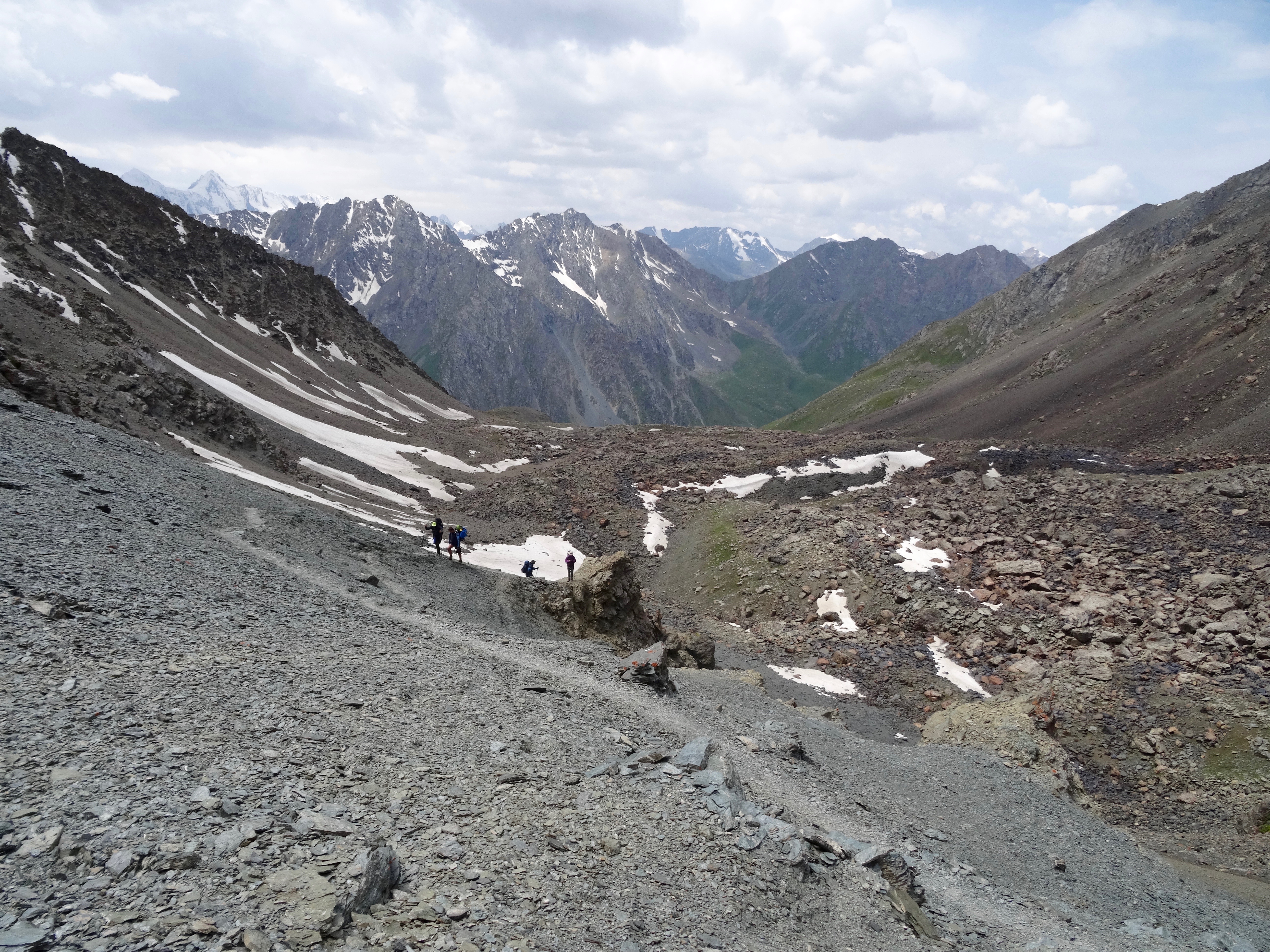
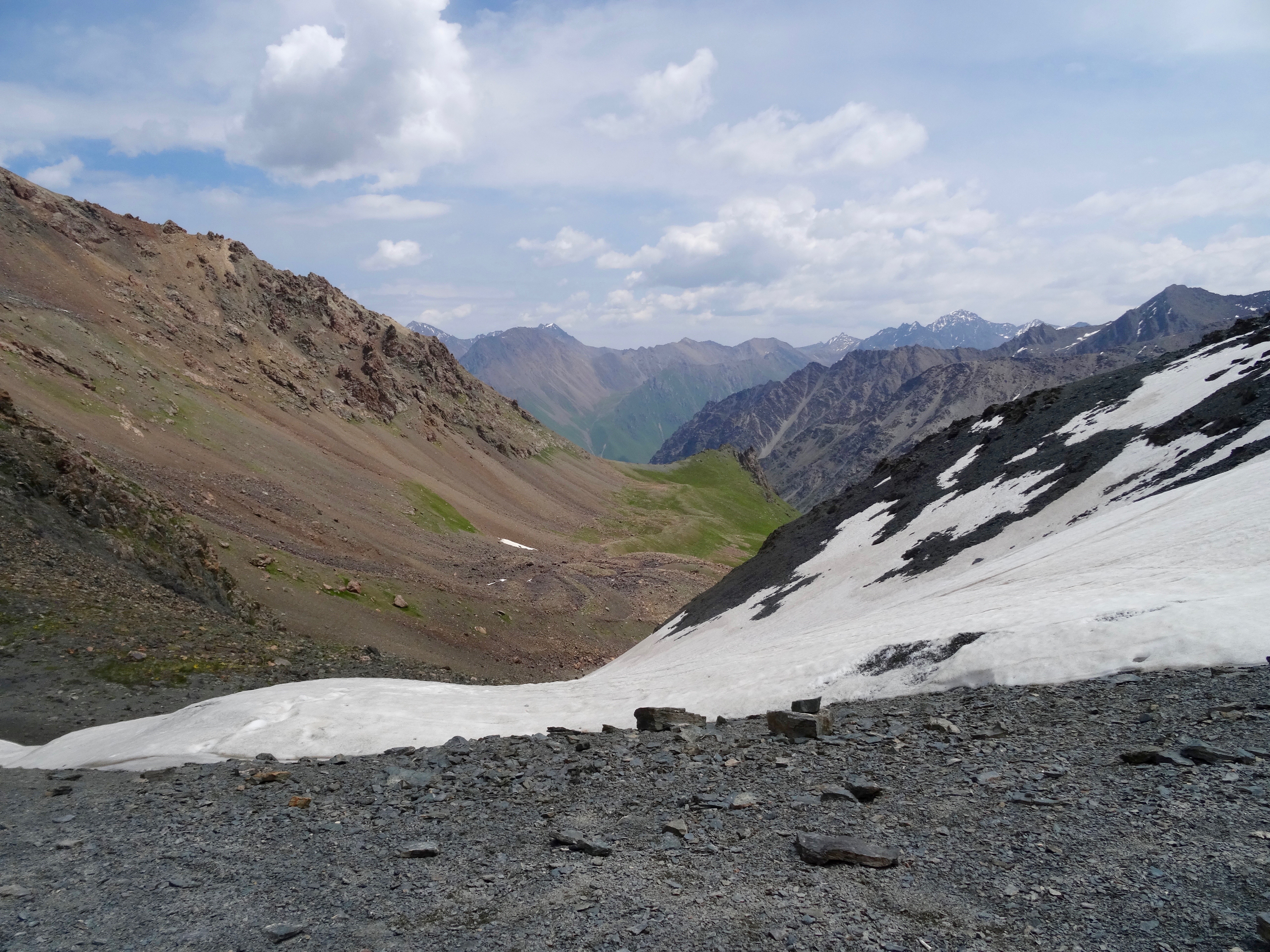
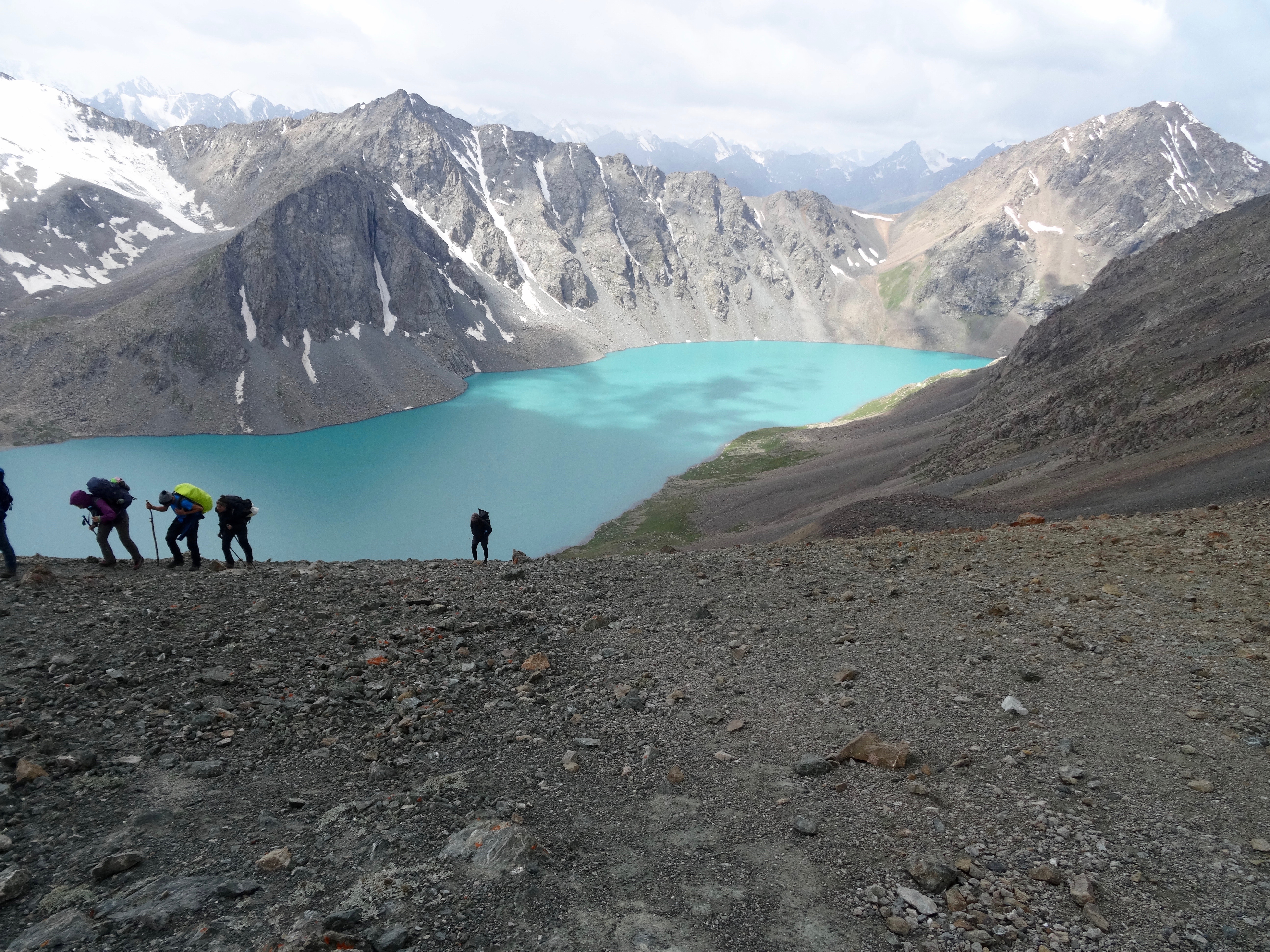
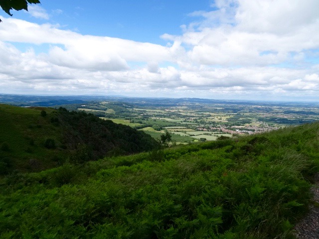
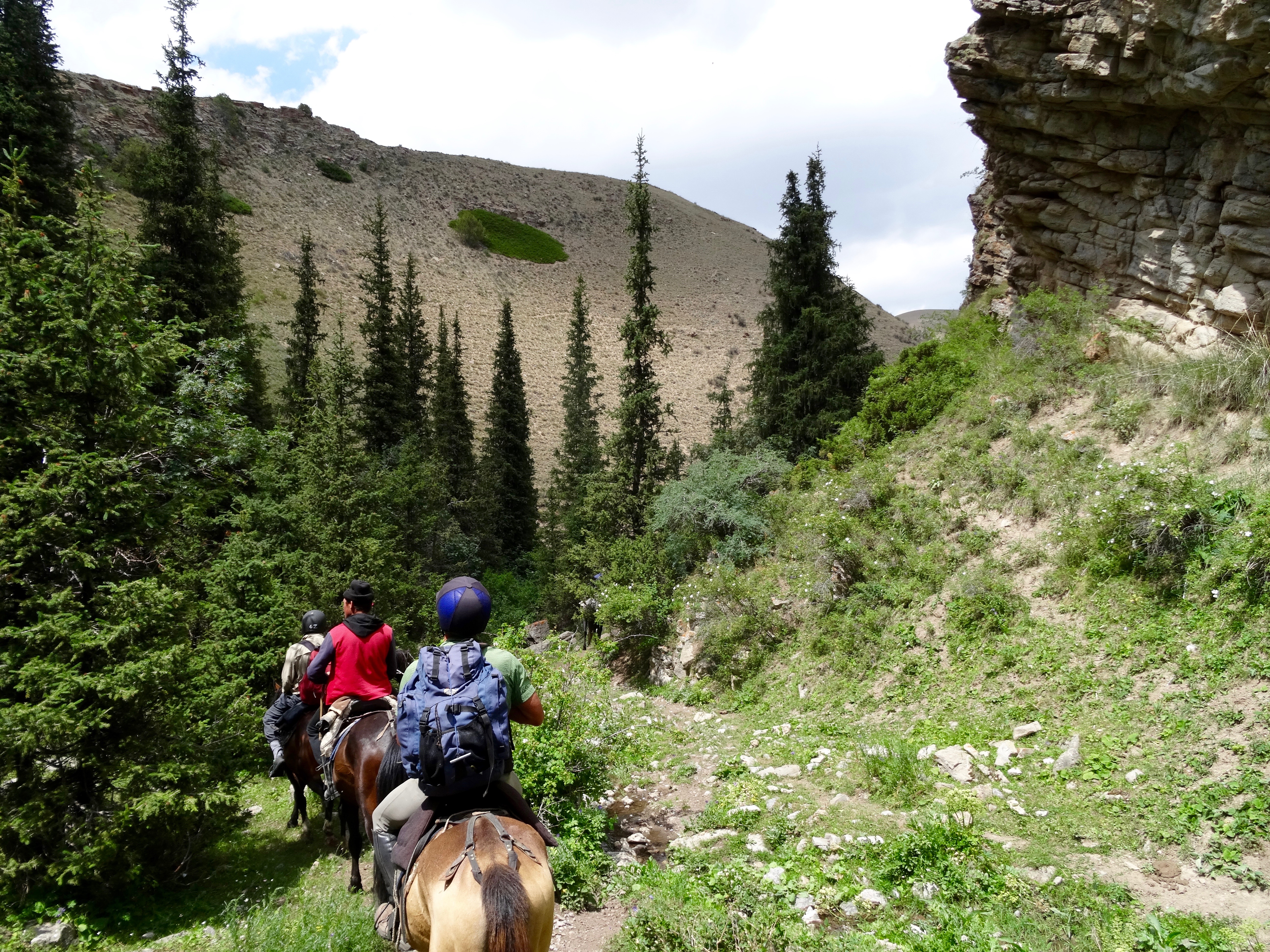
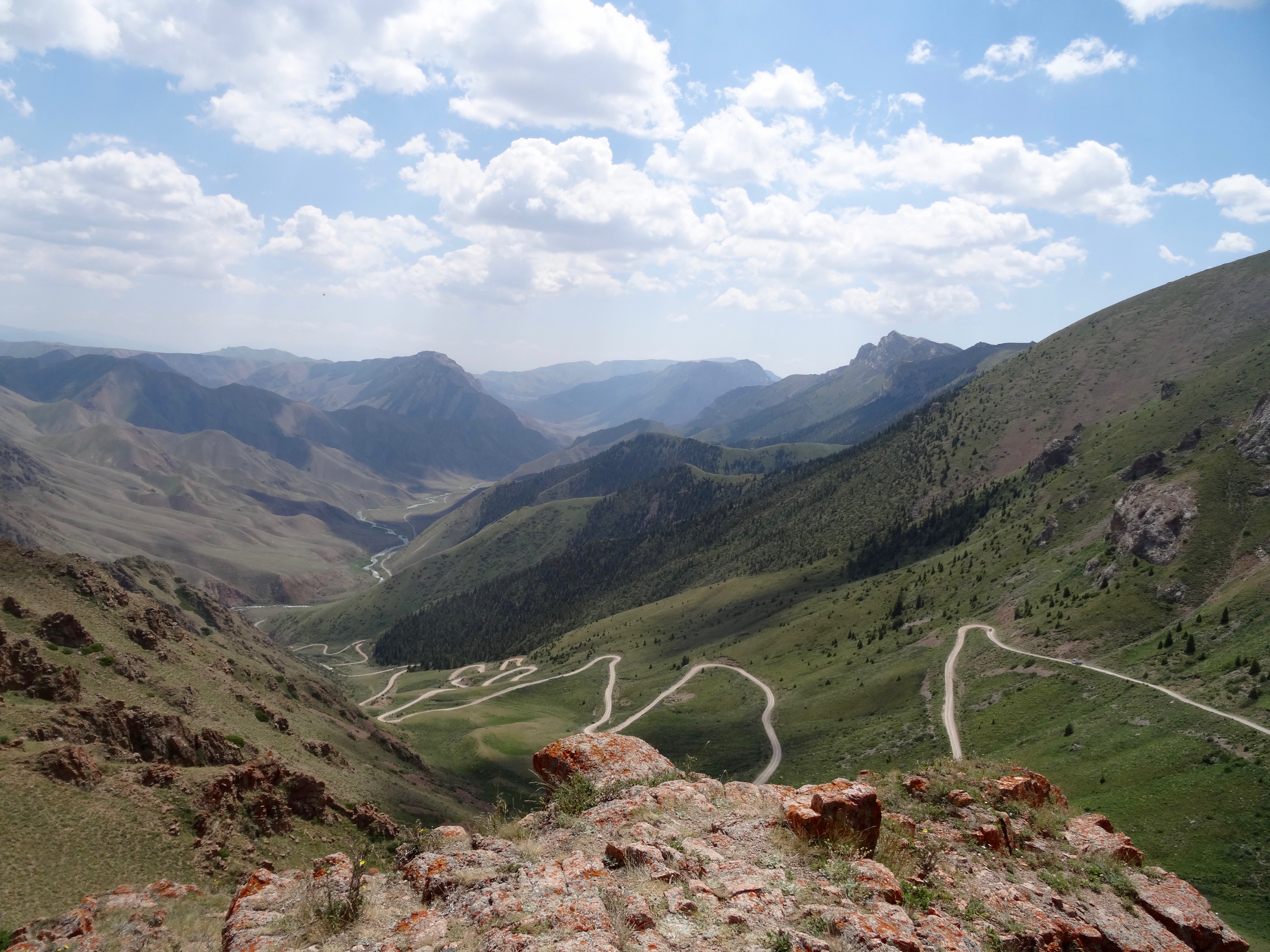 After a couple of hours we reached the top of the Son Kul Pass with far reaching views over mountain range after mountain range. We were at about 3500m. Ahead of us lay a steep descent following a multi switchback road. Horses, of course, don’t have to follow the road but mine did not like the steepness of the shortcuts between switchbacks. It wanted to follow the road, and, as much as I tried I could not get it to go where I wanted it to go. One of the pony team came back and rescued me, taking the lead reign and guiding me through the shortcuts.
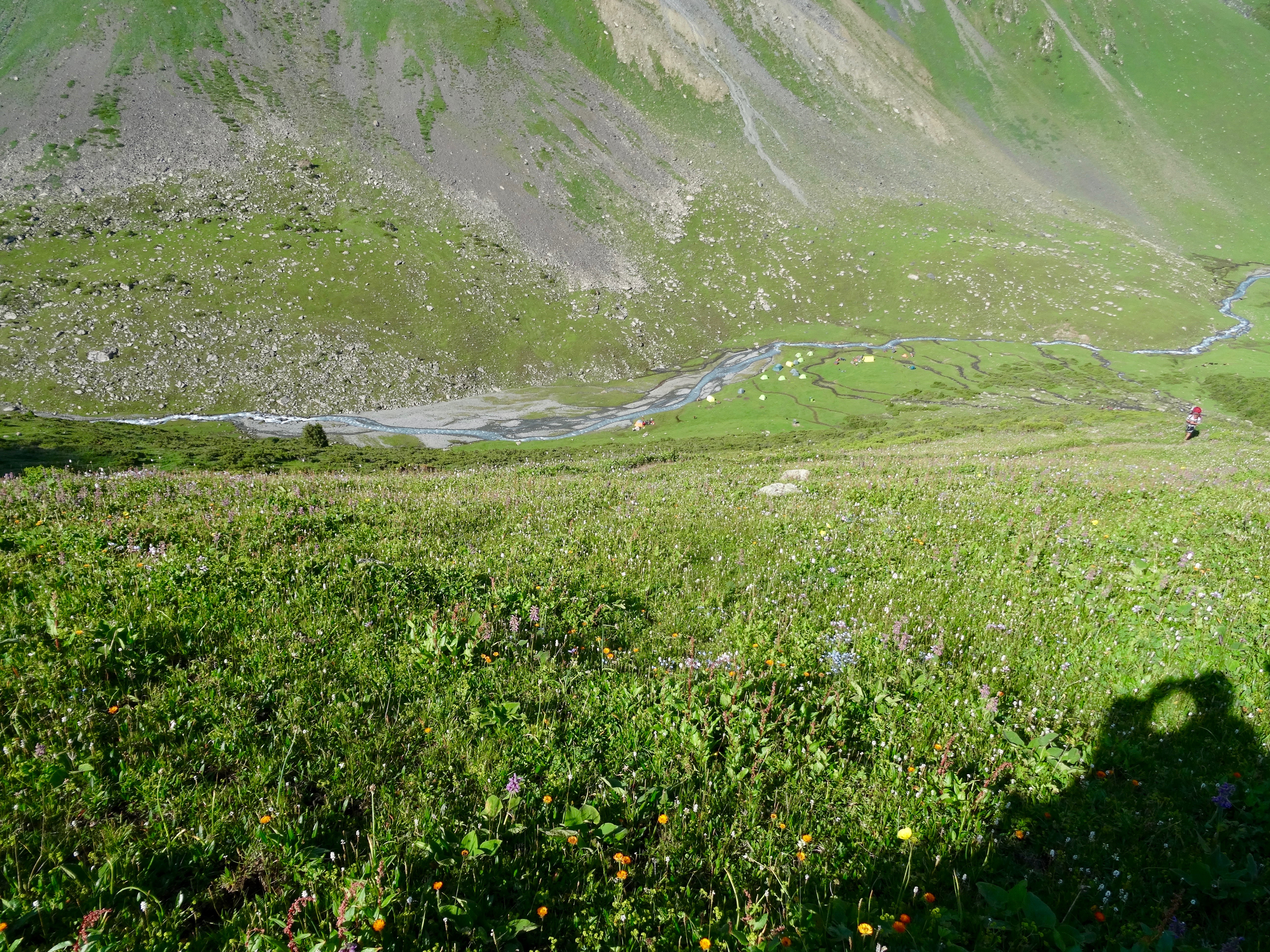
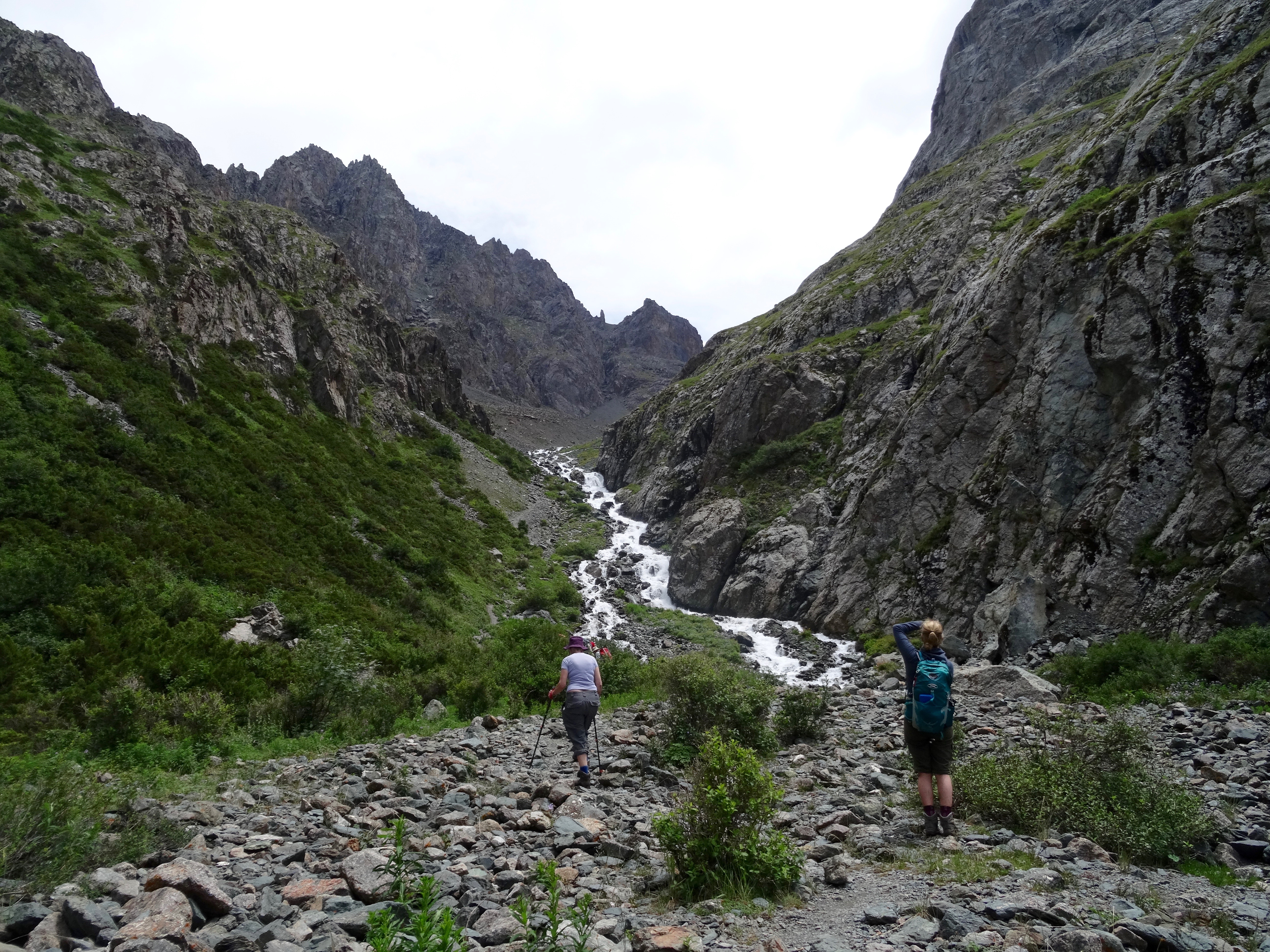
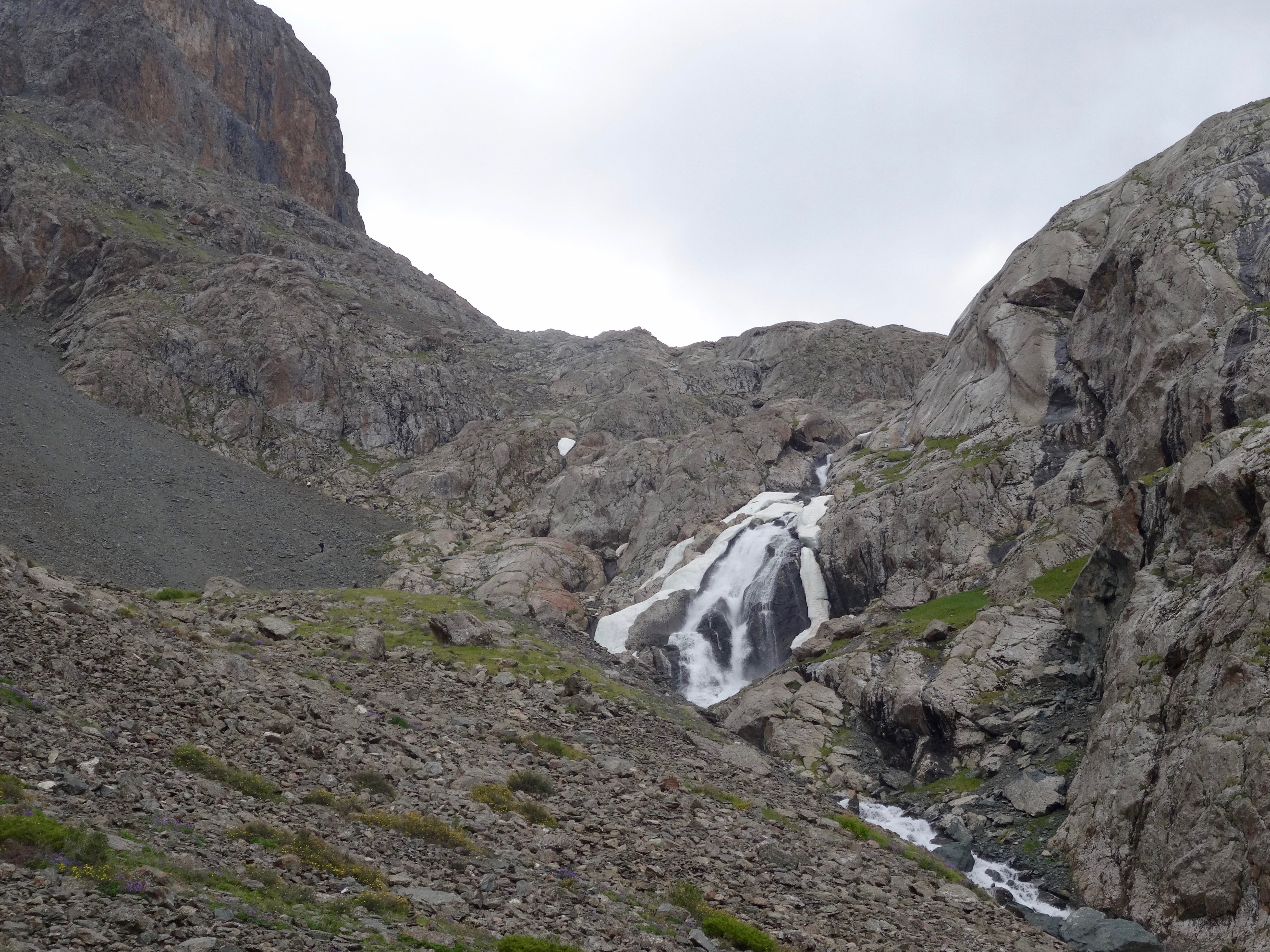
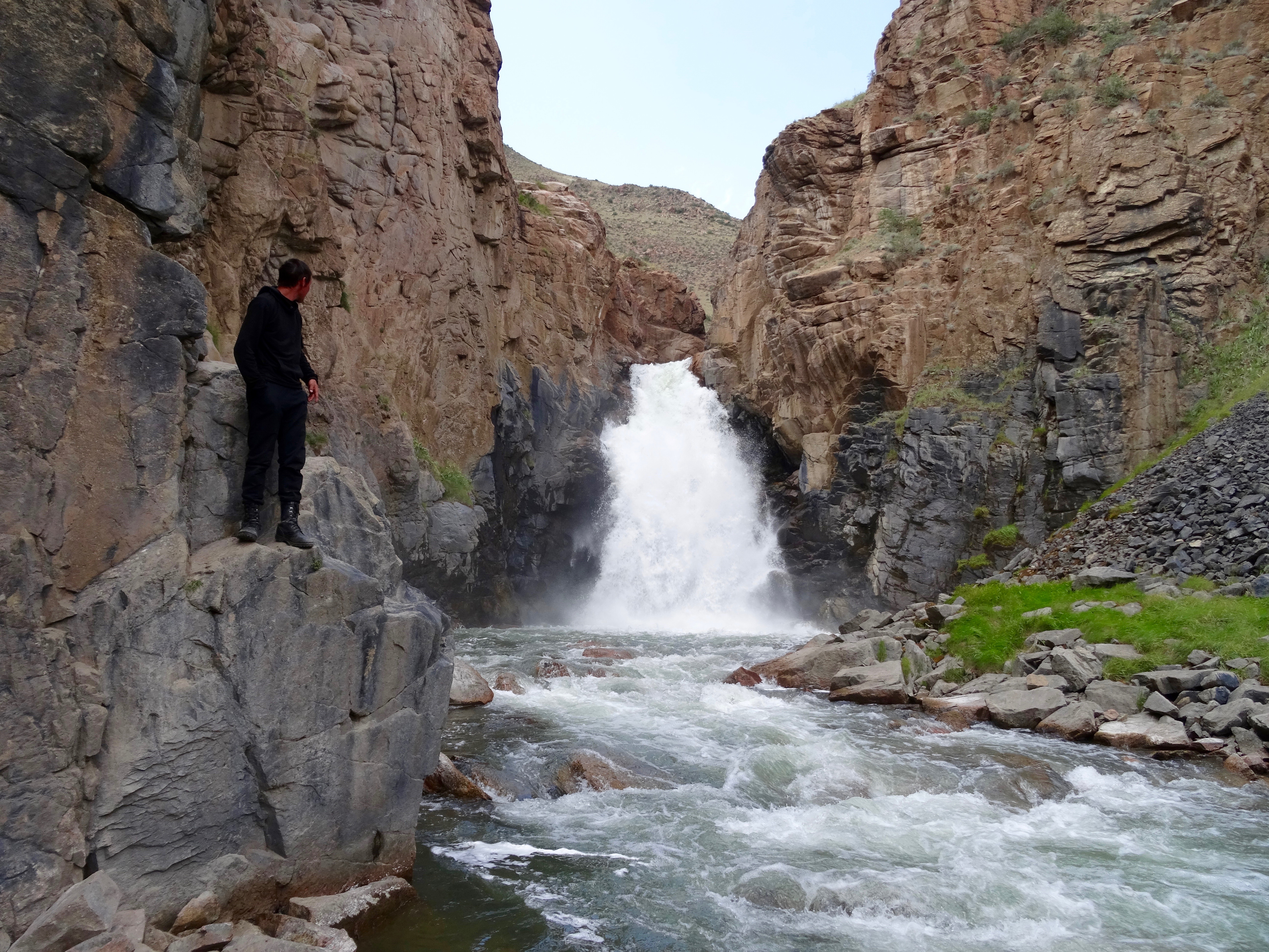 At the bottom of the valley we turned off to take a picnic lunch by the Son Kul River. The sun was incredibly hot. It was a lovely spot, spoilt only by the fact that previous picnickers had left their debris around. I presume these may be local tourists rather than international ones as I cannot imagine that any visitor would do such a thing. One of the draws here for visitors is the Son Kul waterfall, a ten minute walk up stream. Here, the water gushes from a gorge over a ten metre drop in spectacular fashion. It was good to use this as an opportunity to stretch the legs after being confined to sitting in the saddle all morning. The aches of doing so soon disappeared with a little walking.
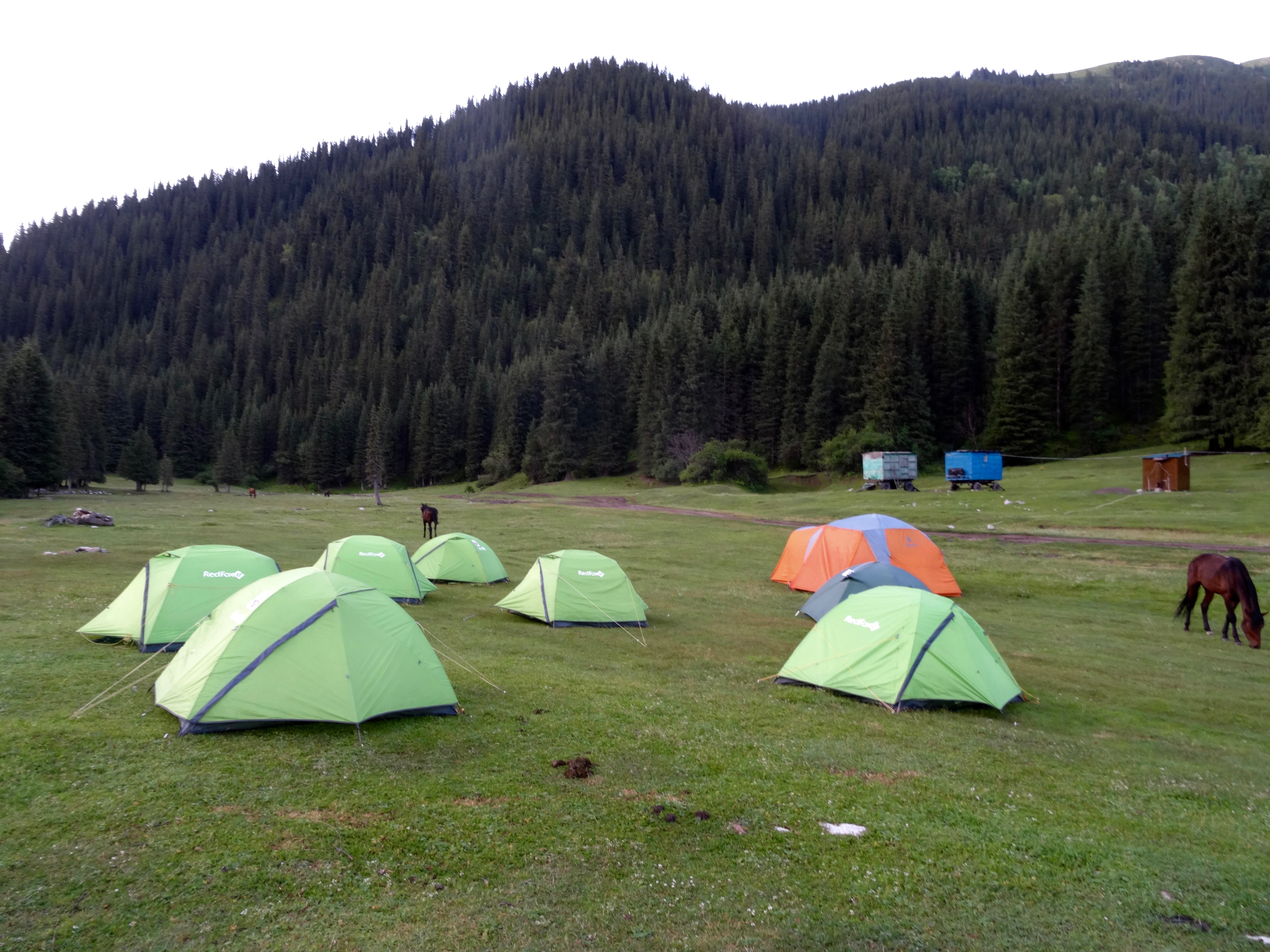
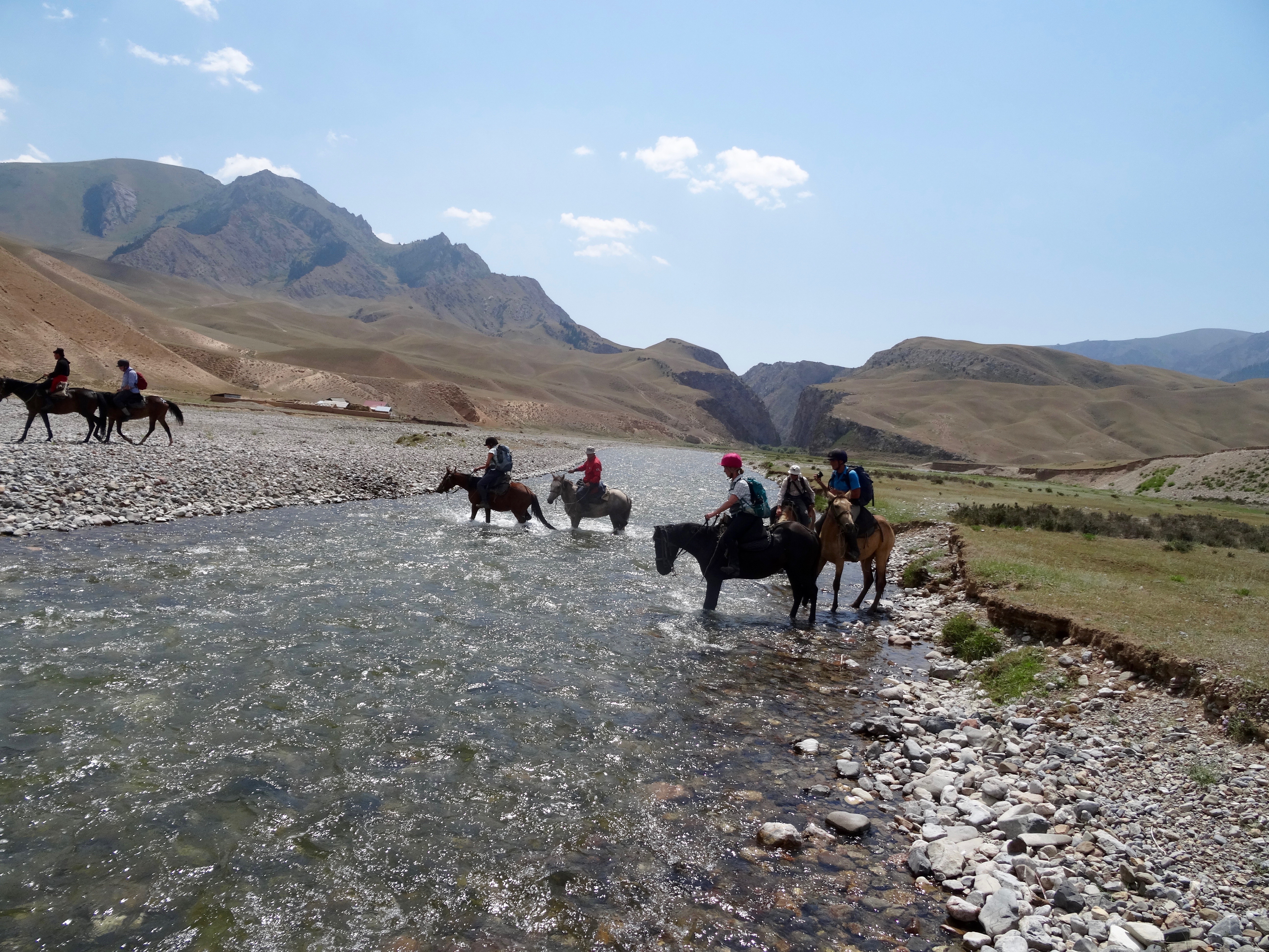
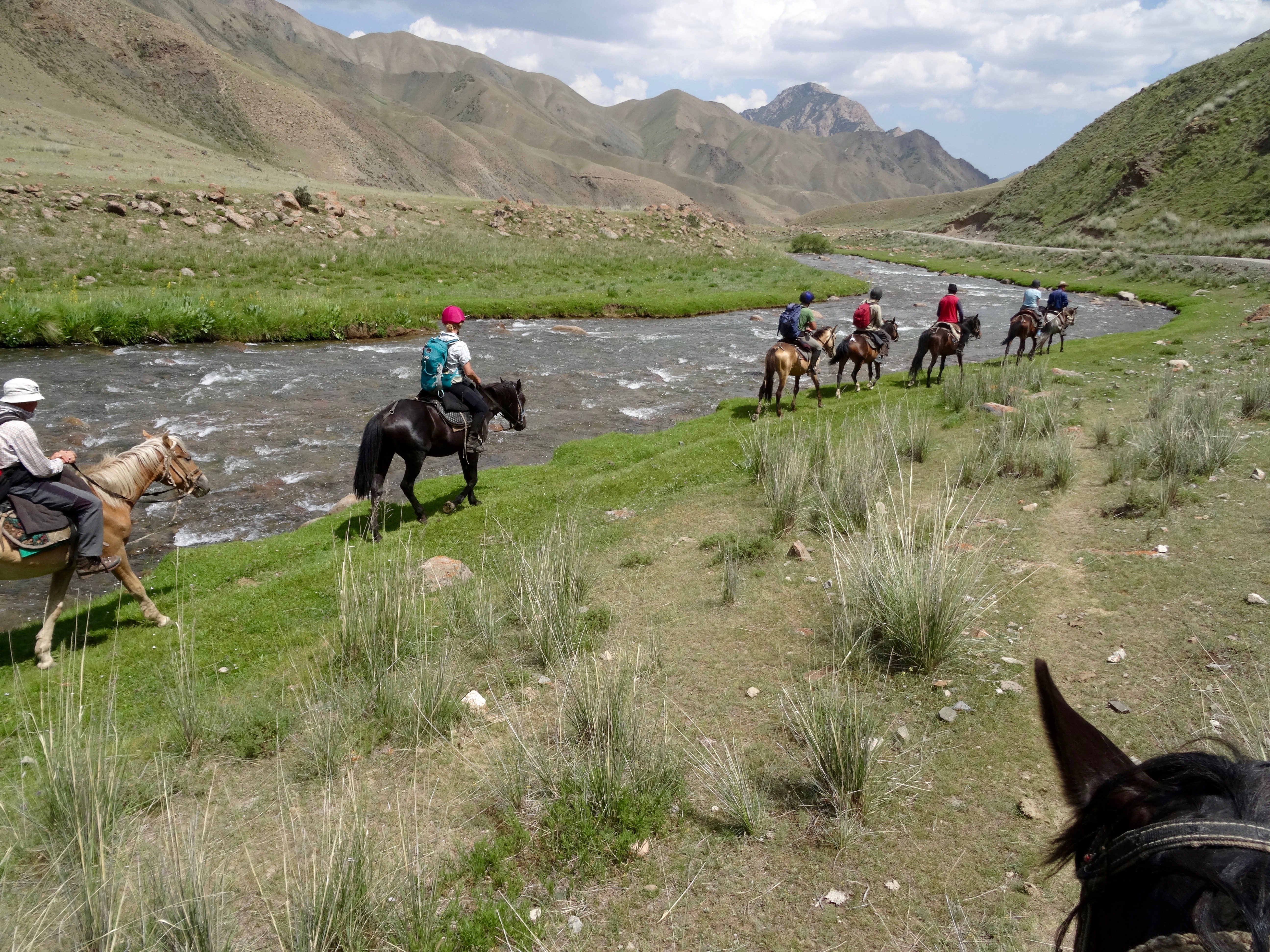 Returning to our horses, we mounted them and set off following the river. After an hour or so we reached our camp for the night. It was a purpose built resort on the river bank with yurts, cabins and a dining room.Mr Batyk was there to meet us along with Adina. As with the yurts of last night, we were the first people to stay there. It was part of Mr Batyk and Adina’s business plan. While the rest of the group chose to sleep in the cabins, I chose the yurt, which I had all to myself.
After a sweaty six hours in the saddle, unable to escape the scorching sun, we all headed off down to the river to bathe and to wash clothes. It was all very therapeutic.
We were all quite tired after a day in the saddle so, after dinner, we soon drifted off to our beds for a long sleep.
One of the problems of going to bed early is that I probably need two visits to the loo in the night. The joy is that, without any light pollution, the night sky is brilliant, including the band of light that is the Milky Way.
The clear sky of the night turned into the clear sky of the morning.
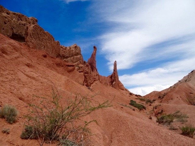
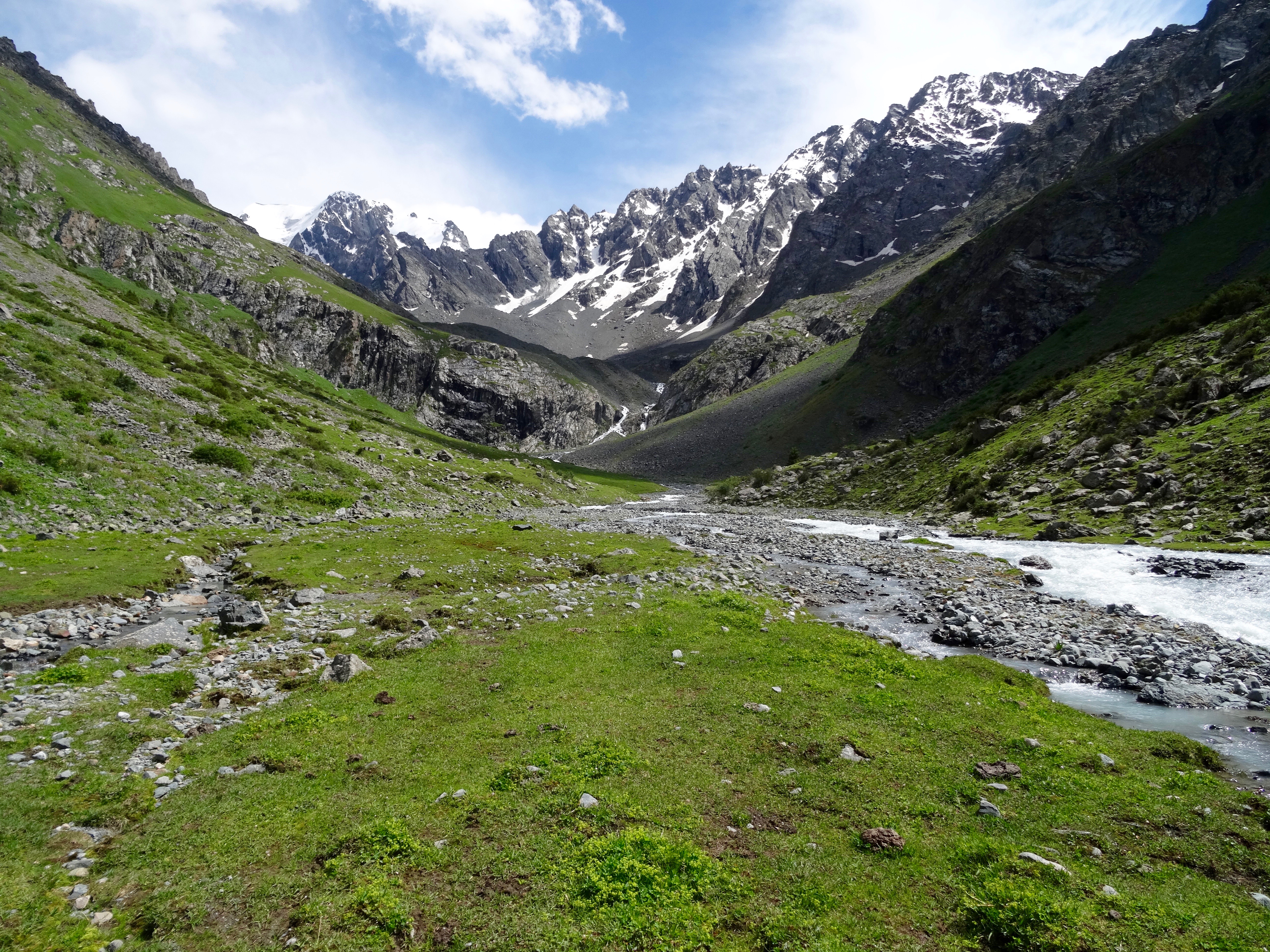
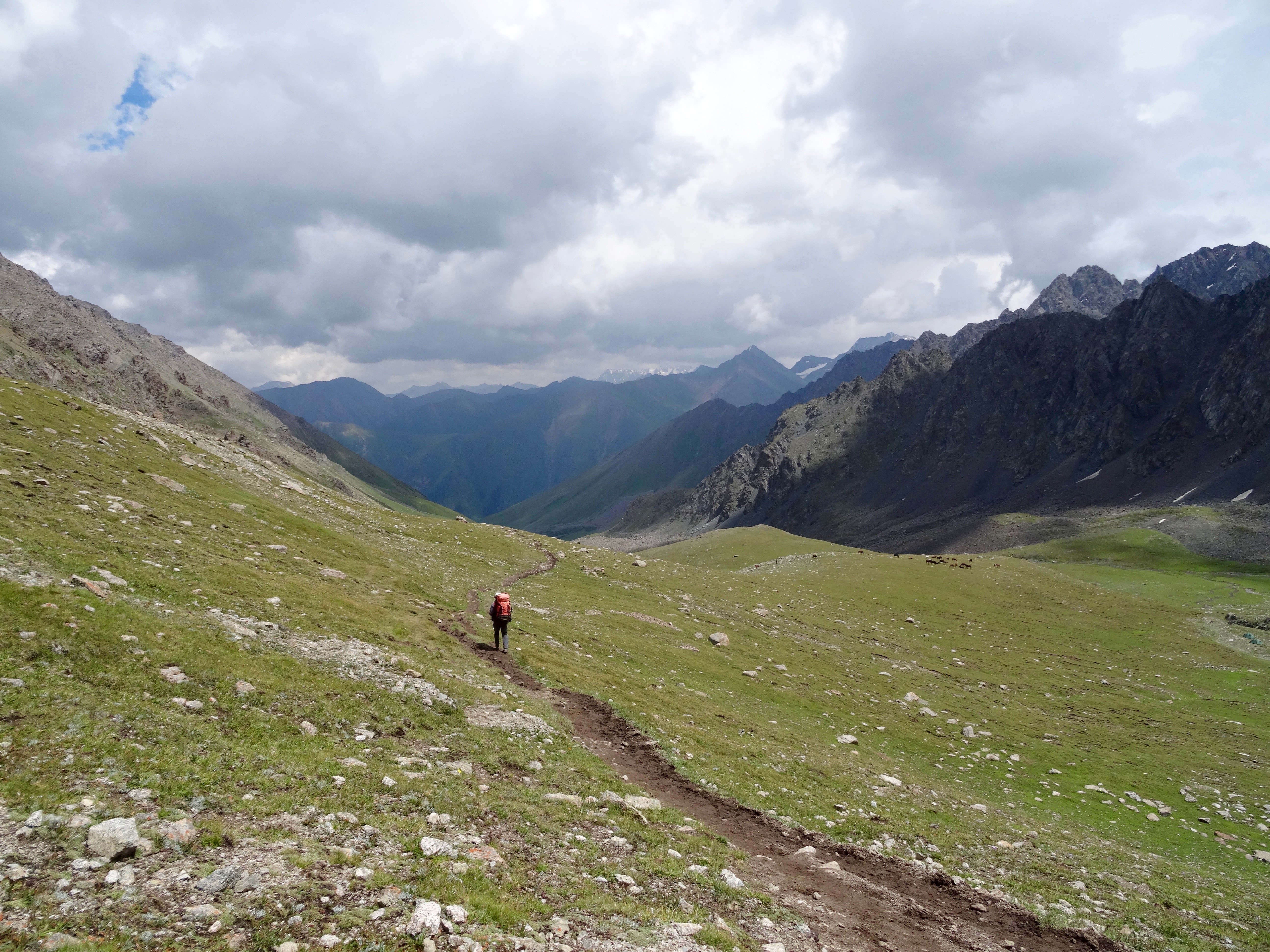
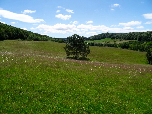
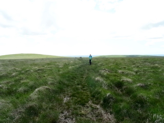
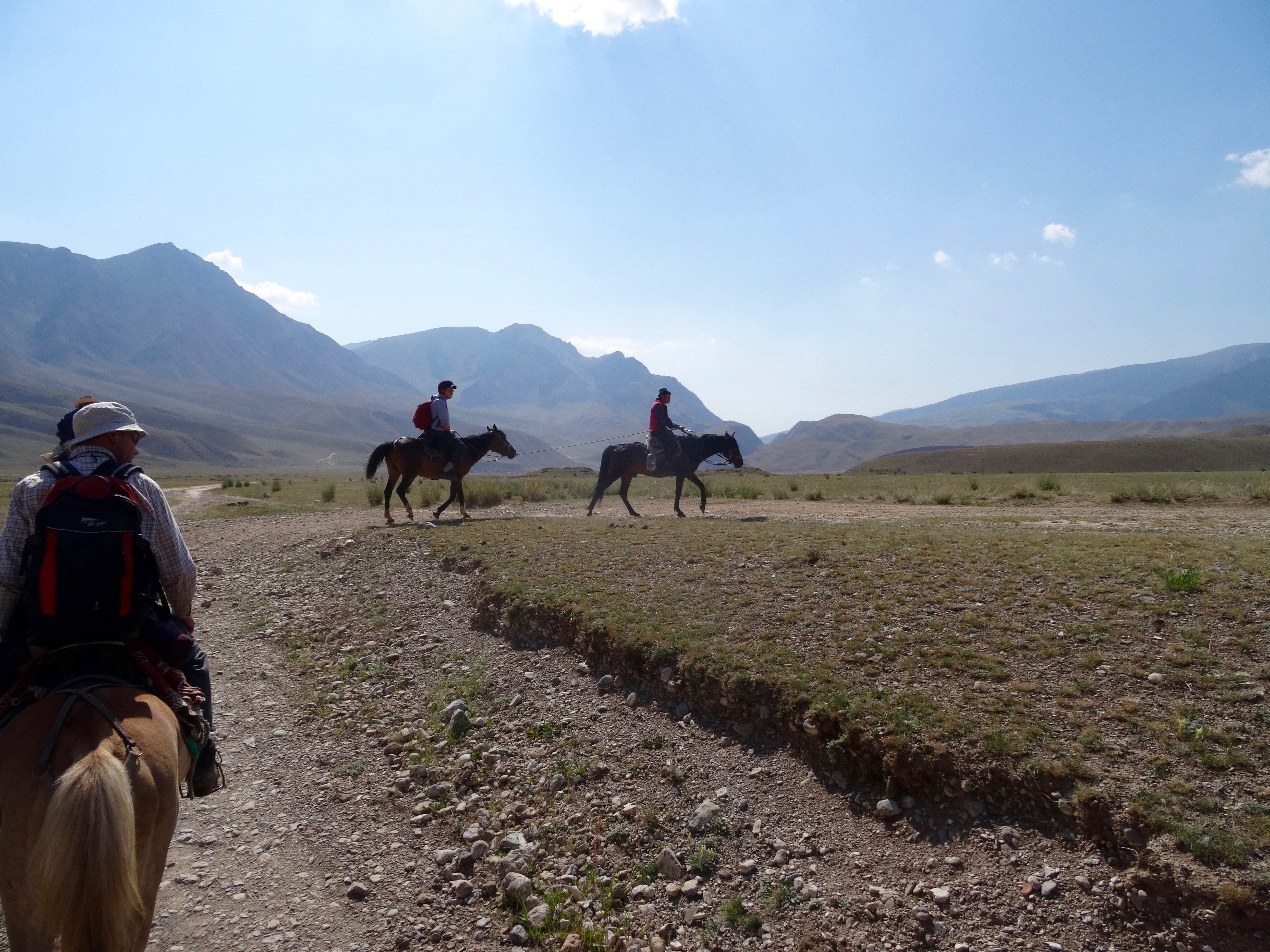
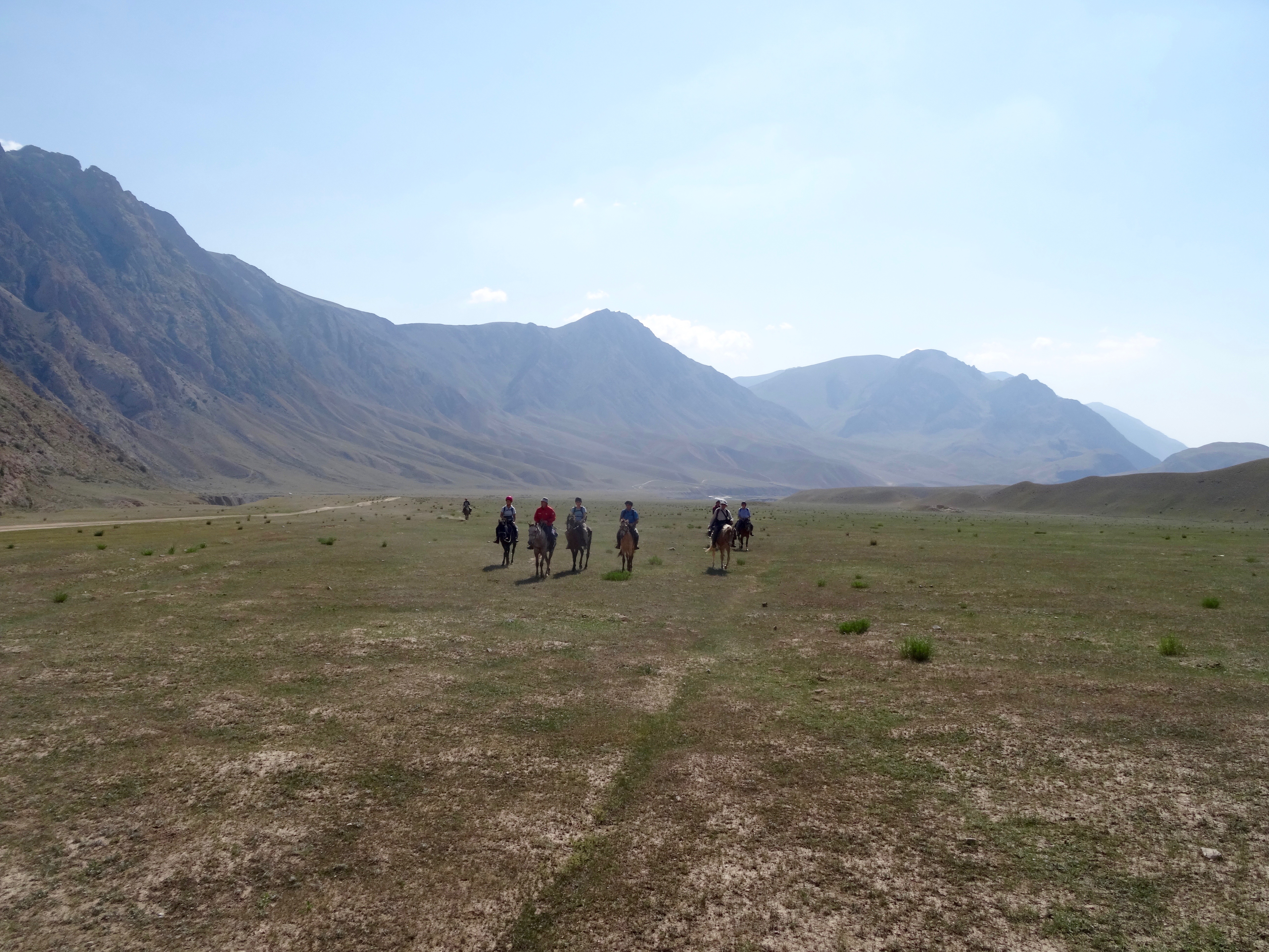
 After breakfast, we mounted our steeds and set off. Immediately, we found ourselves riding through a gorge of spectacular rocks. After about two kilometres we emerged into a very wide, almost flat valley surrounded by mountains. Turning towards the head of the valley we were able trot across the largely rock free natural pasture. There were only two small farmsteads in the whole vastness of the valley, and these would only be occupied for a few months a year, from spring to early autumn. Even then, they may be abandoned in favour of even higher pasture.
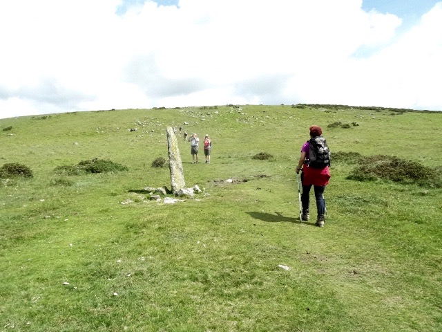
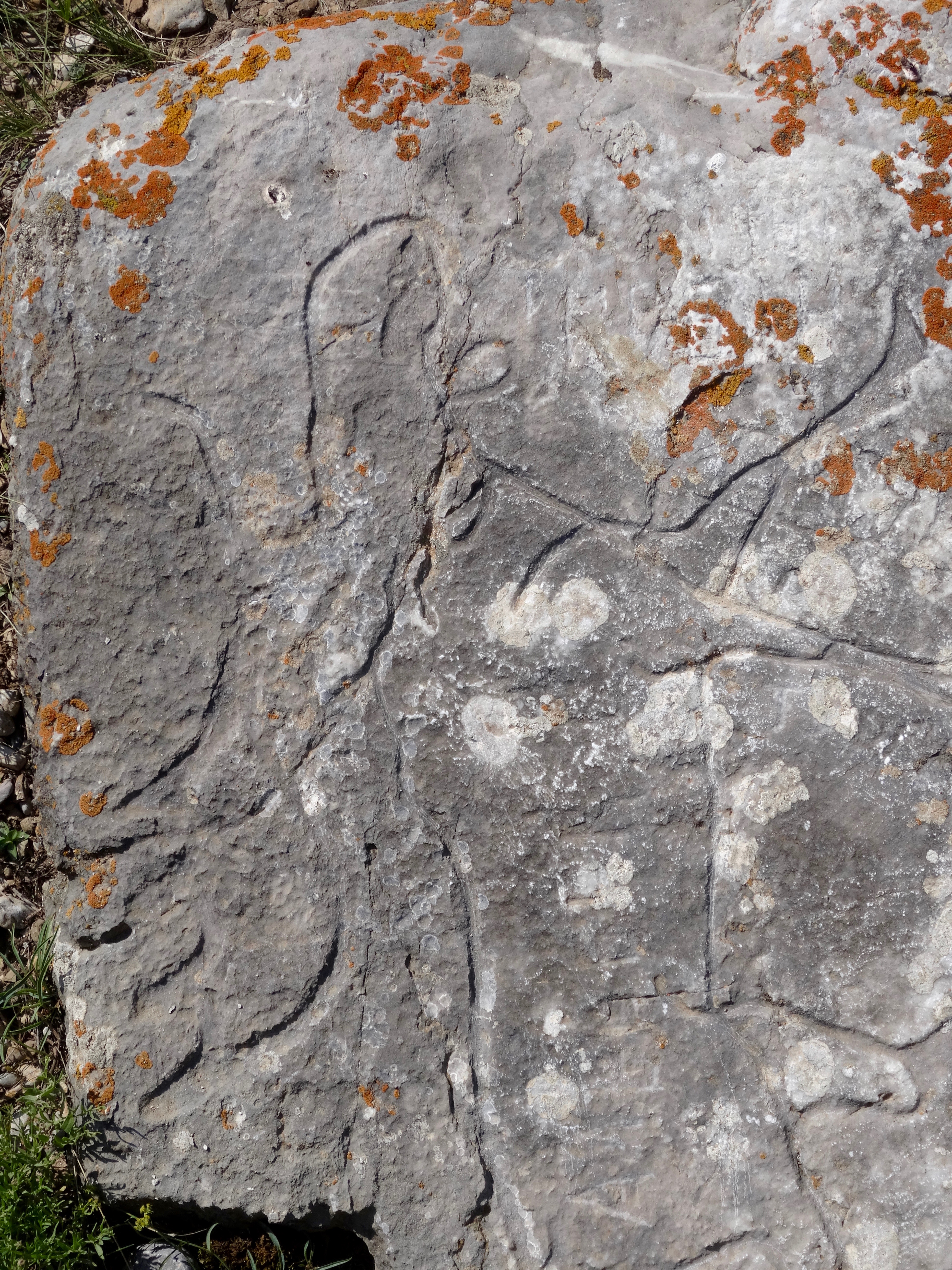
 Towards the head of the valley we came across some strange mounds with a double line of stones around them. One was circular, the other square. The mound in the middle was a burial mound, a barrow, long ago plundered and now largely occupied by marmots.
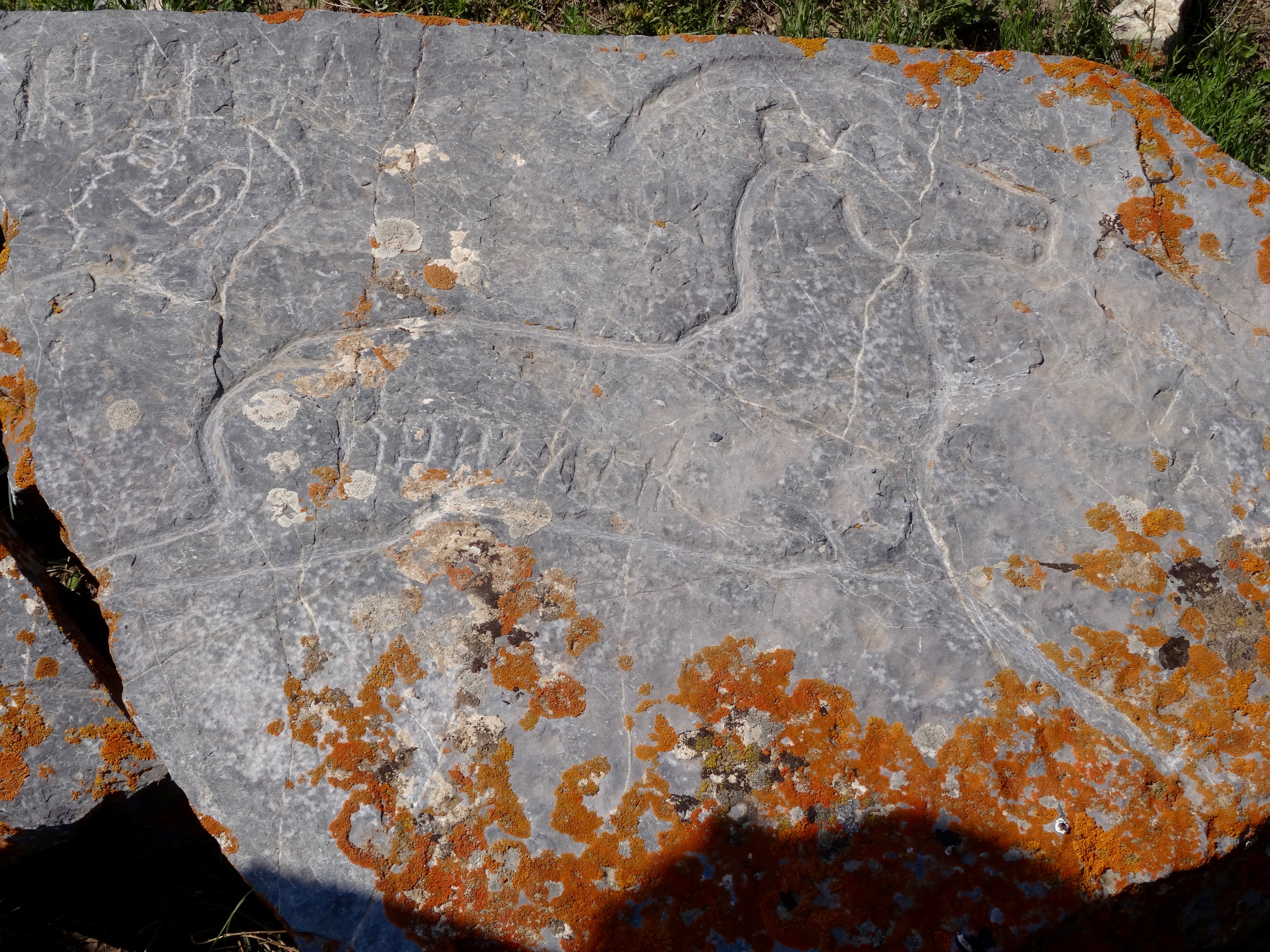
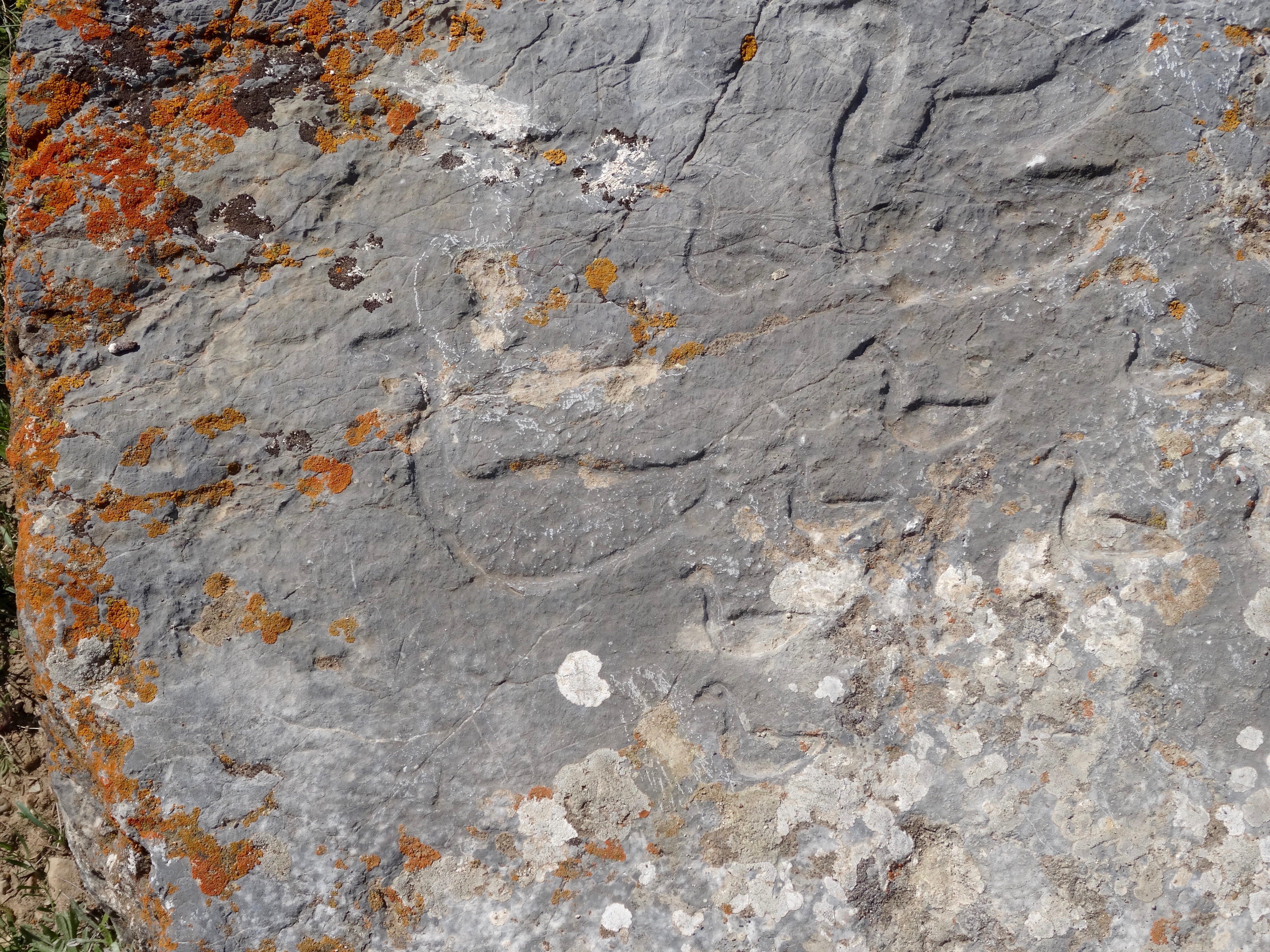
 There were also a number of small stone circles made up of eight stones each. I think the jury is still out on what their purpose was. Some of the stones had hyrogliphics of animals carved into them. Again the authenticity of these must be questioned because one was of a moose, an animal not associated with this area of the world.
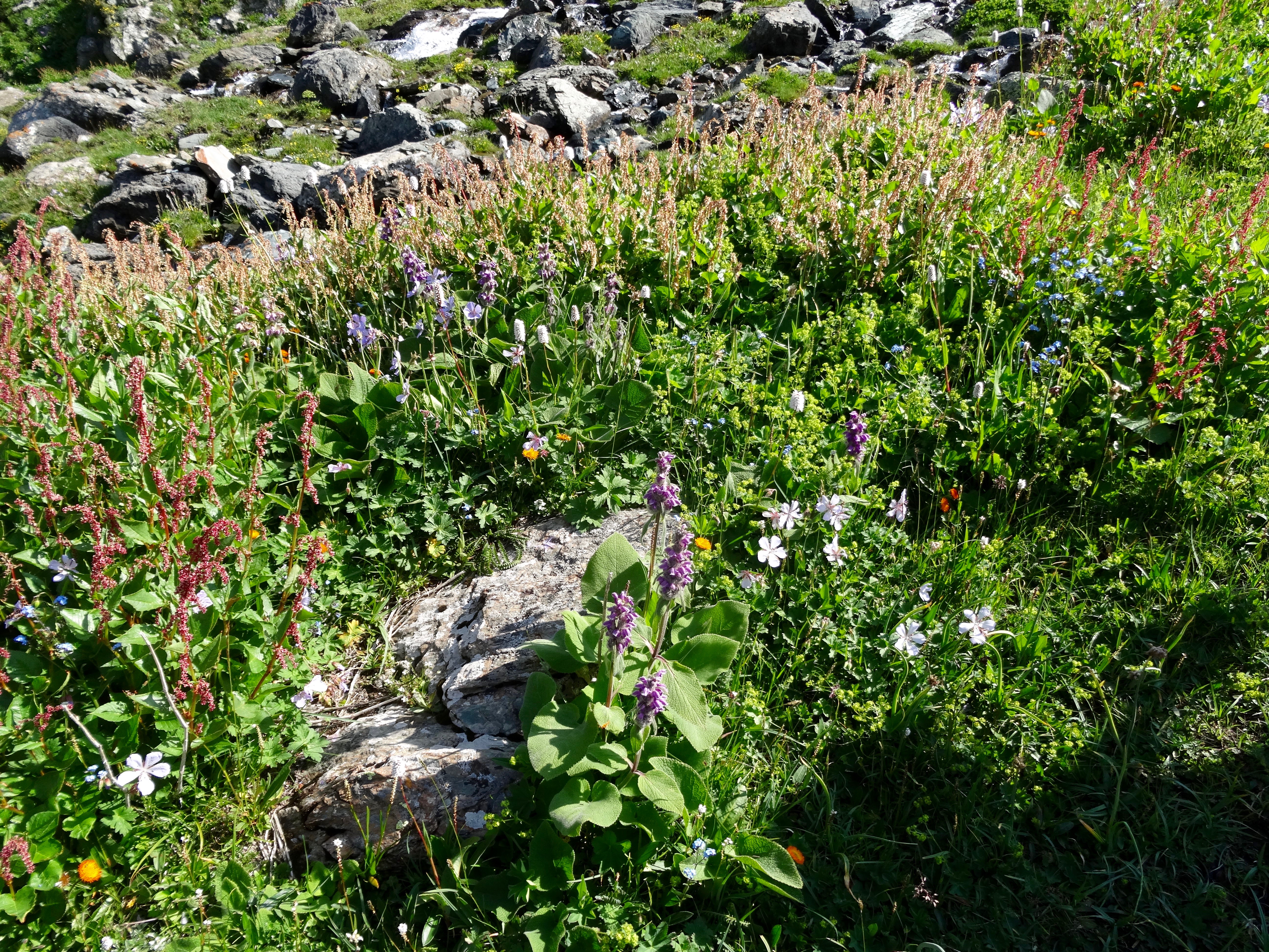
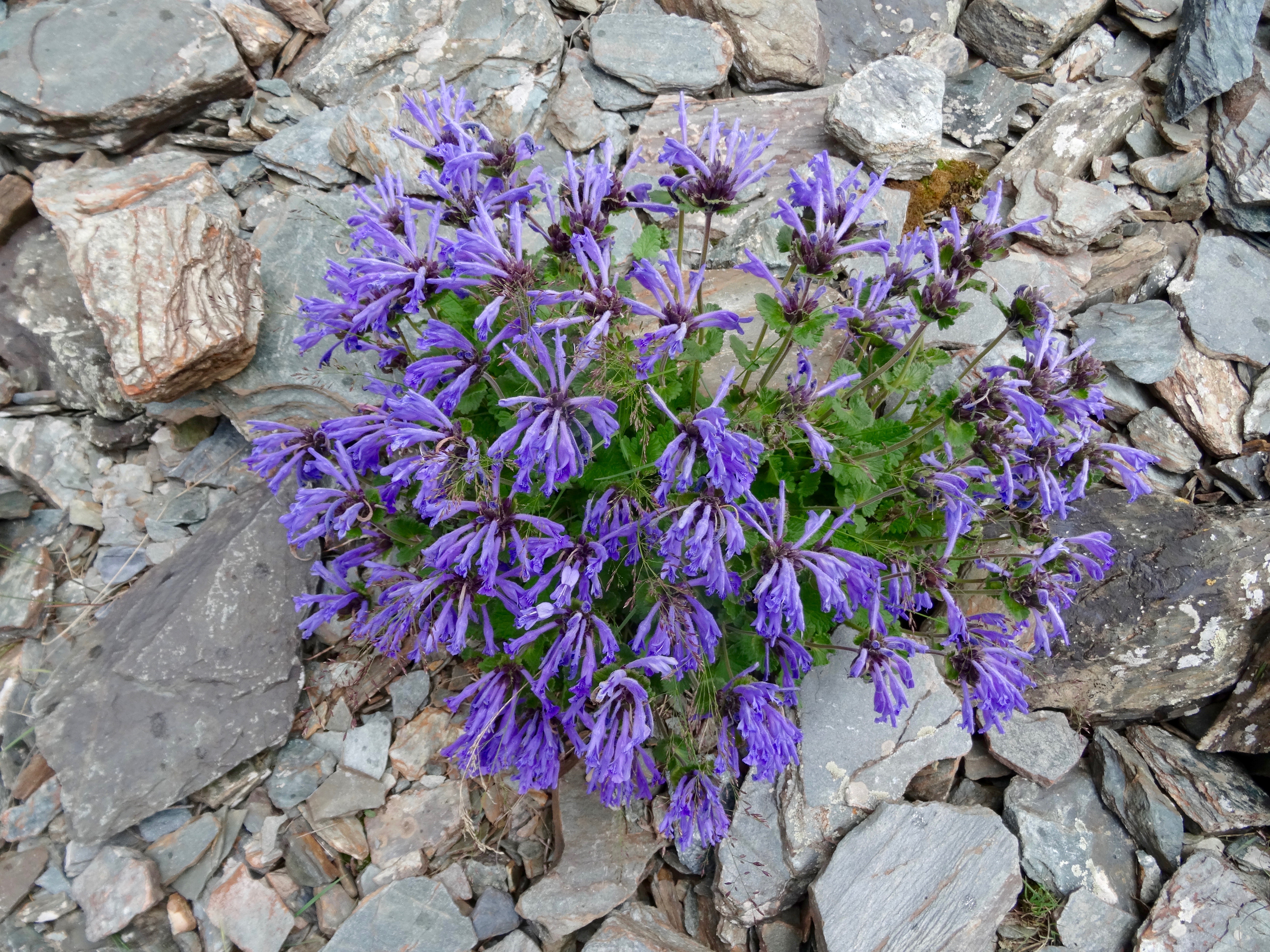
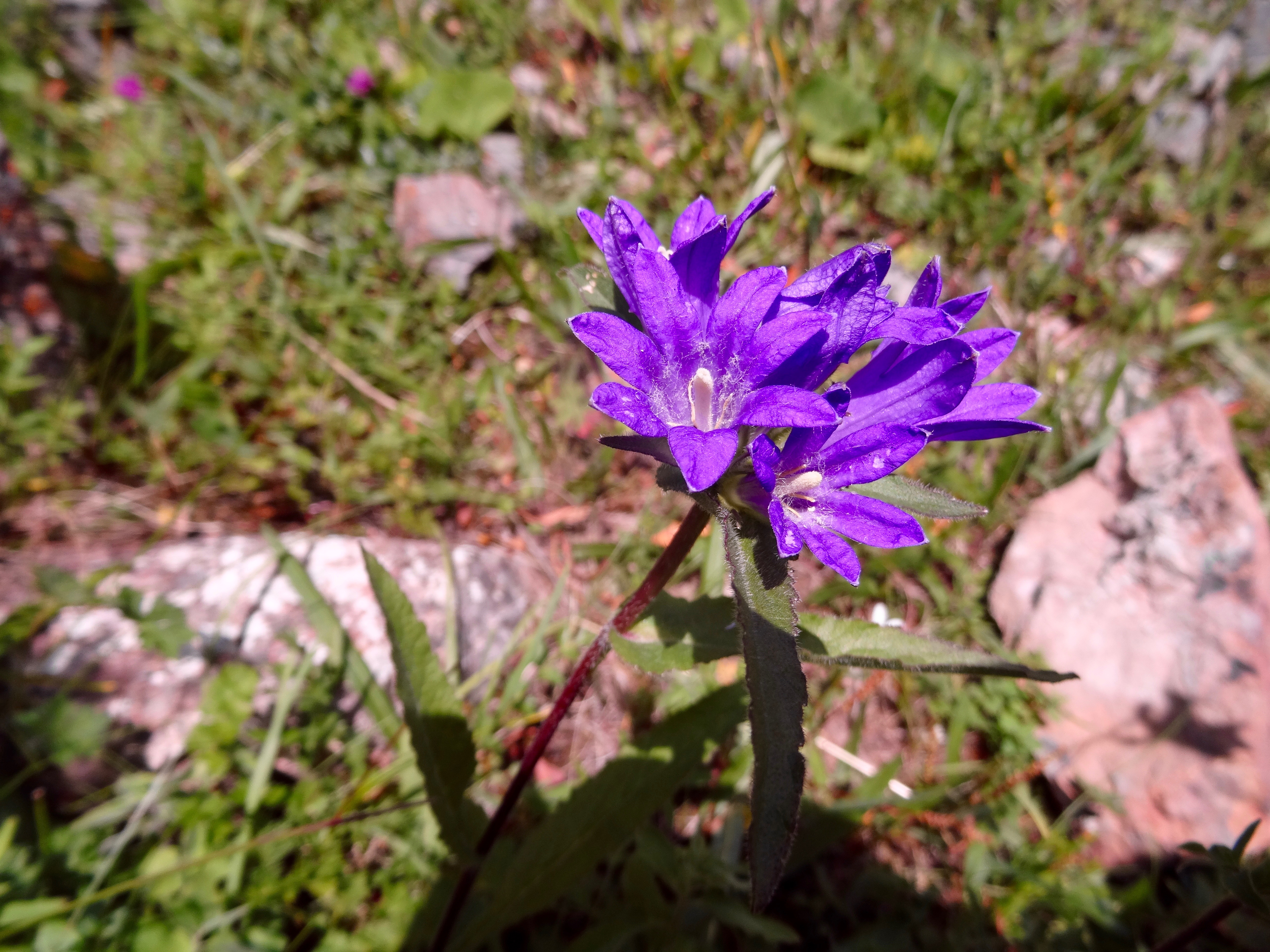
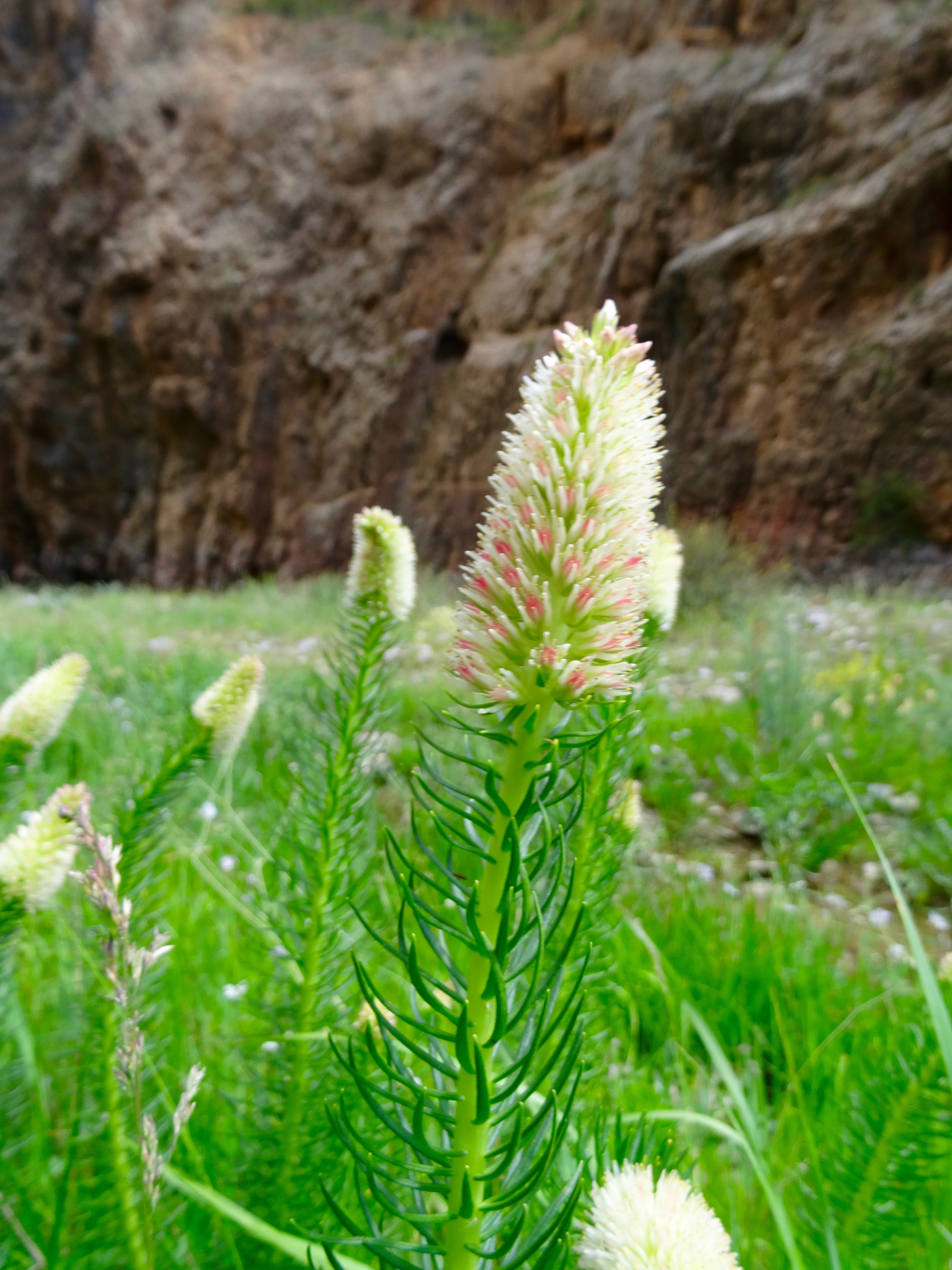
 Having visited these fascinating relics we rode back across the valley to the lower end where we took a track to climb up to a pass. It was hard work for the horses but they were good enough for the task. Marmots ran to their holes as we approached and the ground was a blaze of flowers, purple being the most prevalent colour. At the top of the pass, with panoramic views all around, we stopped for lunch. What a magical place to enjoy a rest and some nourishment.
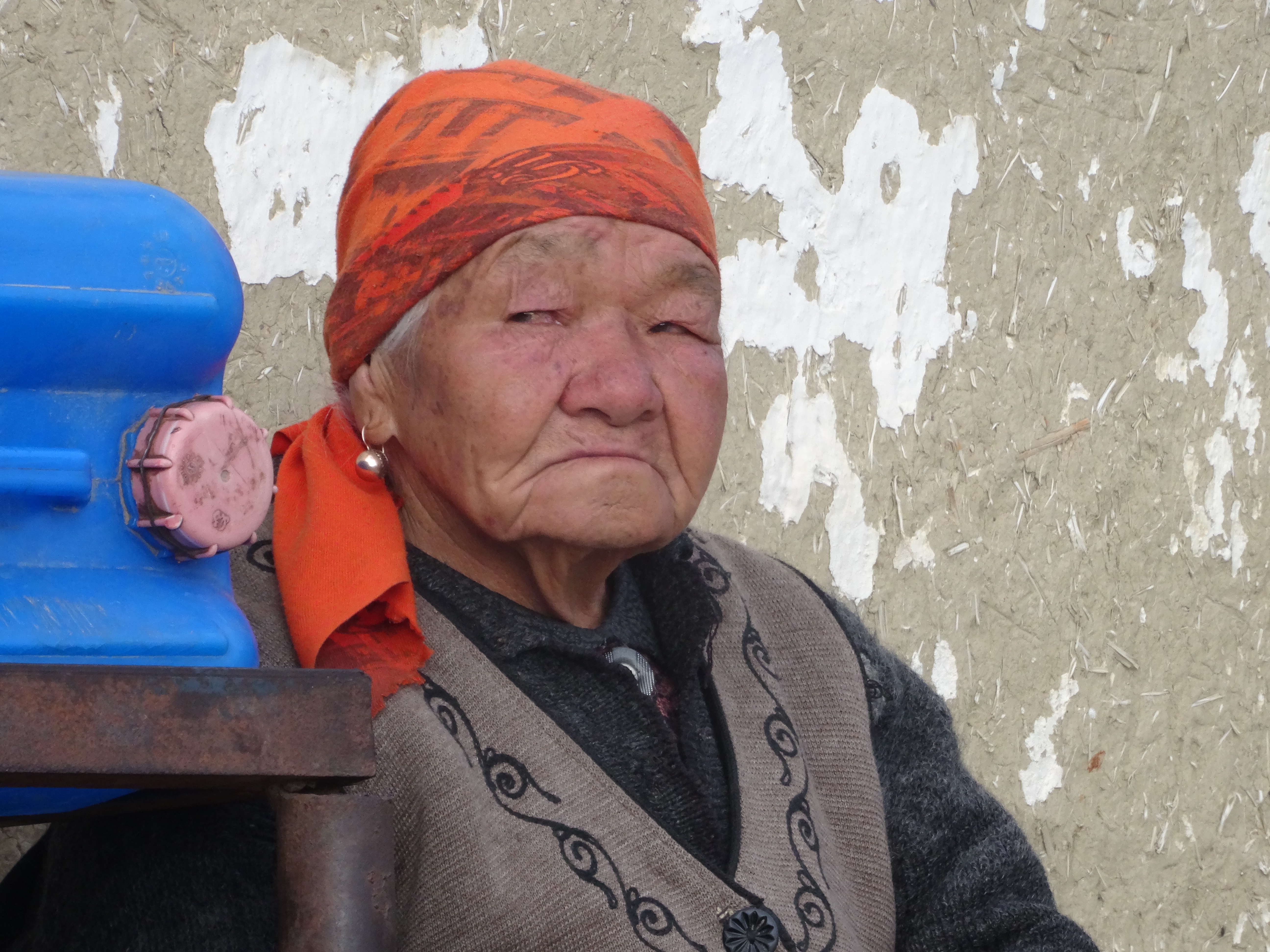 Replenished, we dropped down the other side of the pass to climb over the next one before dropping into a much wider valley with another range of hills on the other side. Following the edge of the valley we eventually came to one of the temporary farmsteads after seven hours in the saddle. Sitting outside was an old woman who was living here with her grandchildren while others in the family were with their animals on higher pasture. Still, there was work to do here as there was a herd of horses with their foals.
 The accommodation was very basic with just two rooms, a dining room and a bedroom. Cooking was done in an outhouse. We were all to share the bedroom, while various members of the family were to sleep in the dining room. It was not ideal but it was, again, giving us an insight into rural Kyrgyz way of life.
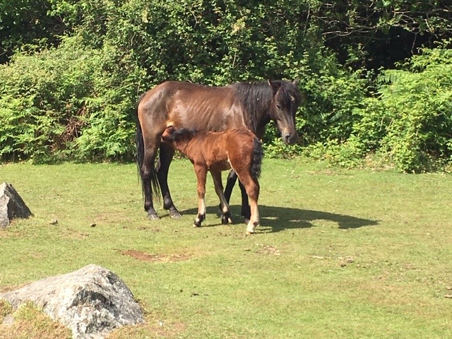
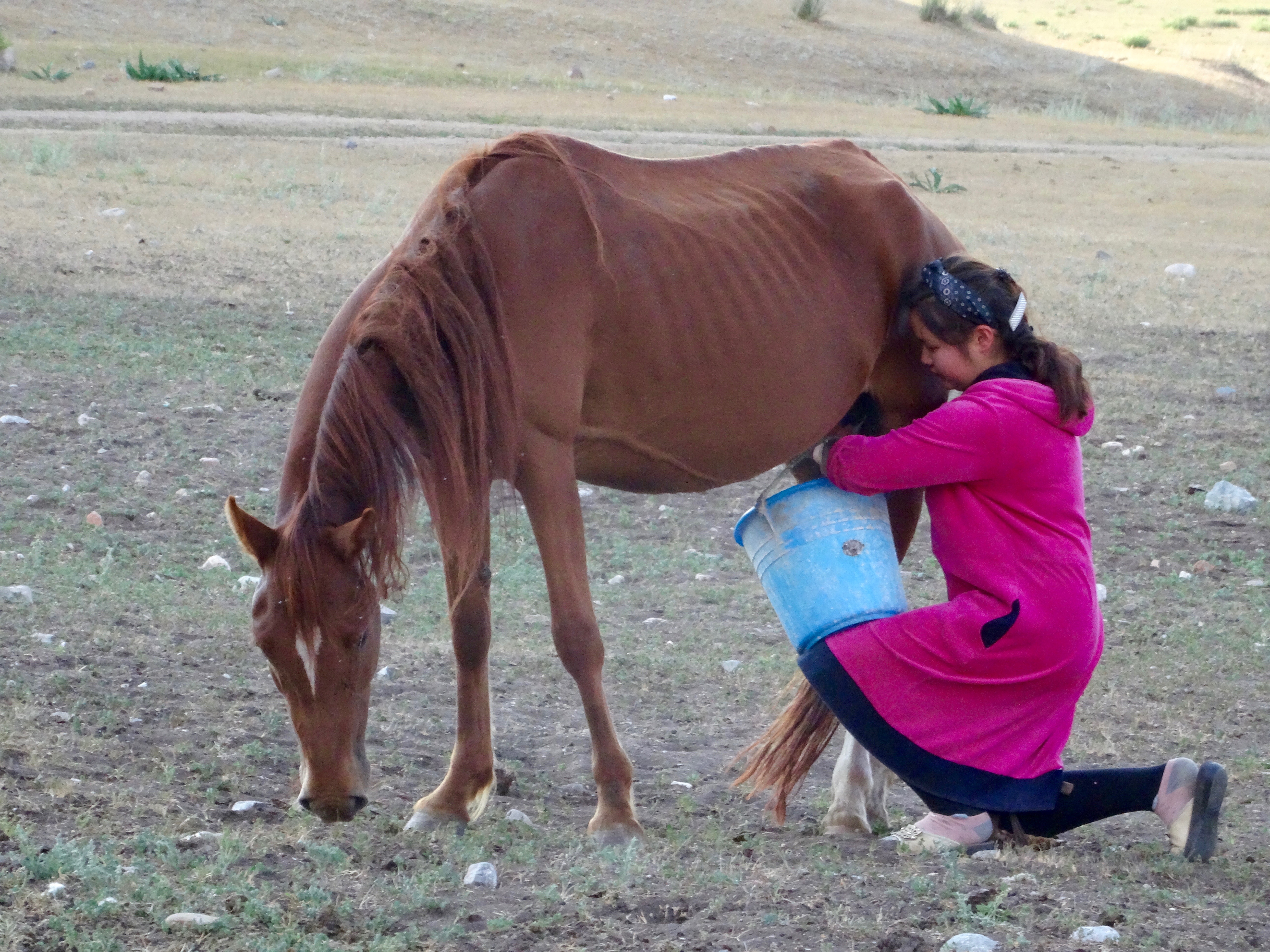 After bathing in the river we were shown how they made kumis, fermented mares milk. First we went out to the open pasture where all the foals were tethered. The boy in the family, who was about ten years old rounded up all the mares. One by one an older sister took a litre of milk each from ten mares. The mares were extremely calm and accepting. Squatting down she rested the bucket on her one knee, wedged underneath the mare and transferred the milk. Having completed the gathering of milk, the foals were released and they all ran around looking for their mother so they could feed from the teet and have their share. The milk was then taken to the house. We were offered a taste of the milk. It had a slightly sweet taste and a slight aroma of cut grass. It was very nice. Then it was poured into a barrel, called a bishkek, where there was already some fermented milk, ‘kumis’. This was agitated for a while to allow the fresh milk to mix thoroughly with the kumis. Now the taste was completely different. It was quite sour and had lost all the softness of the original product. It is not unpleasant but not a drink I would necessarily ask for.
After dinner we gradually retired to bed in our rather cramped conditions while the family slept in the adjacent room.
For breakfast the next morning we had a bowl of home made cottage cheese with a bowl of natural yoghurt – curds and whey.
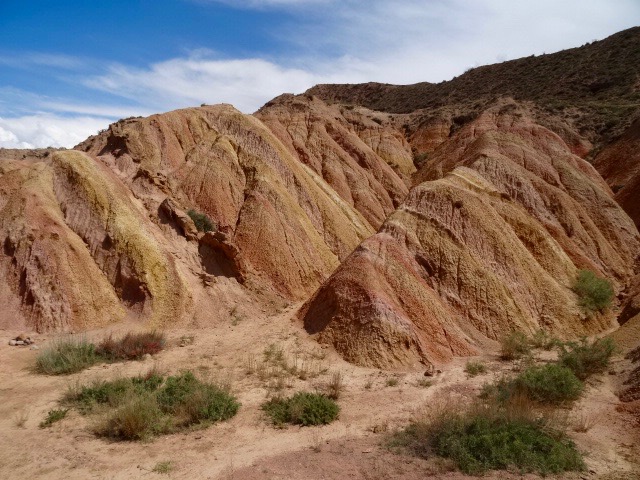
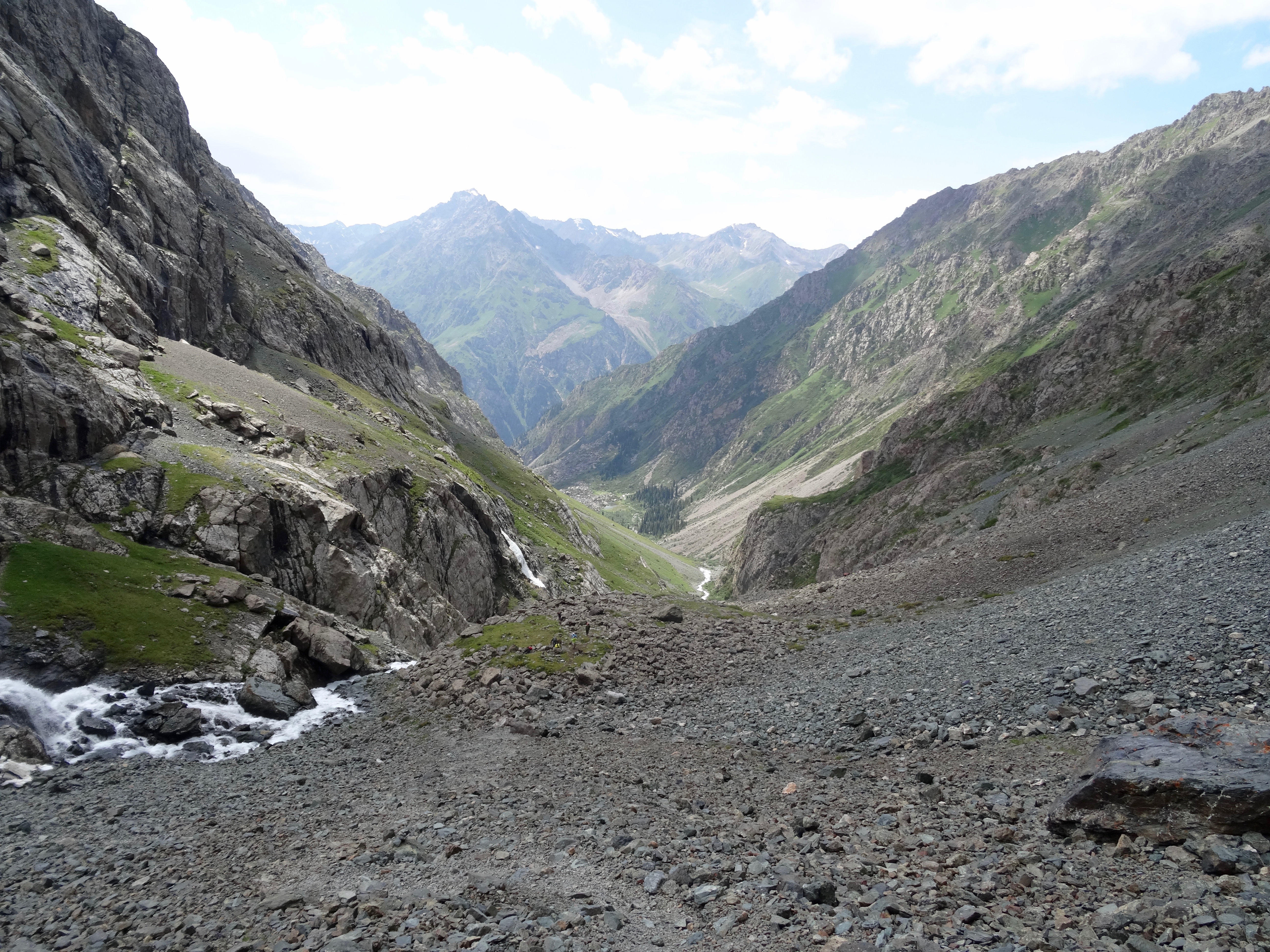
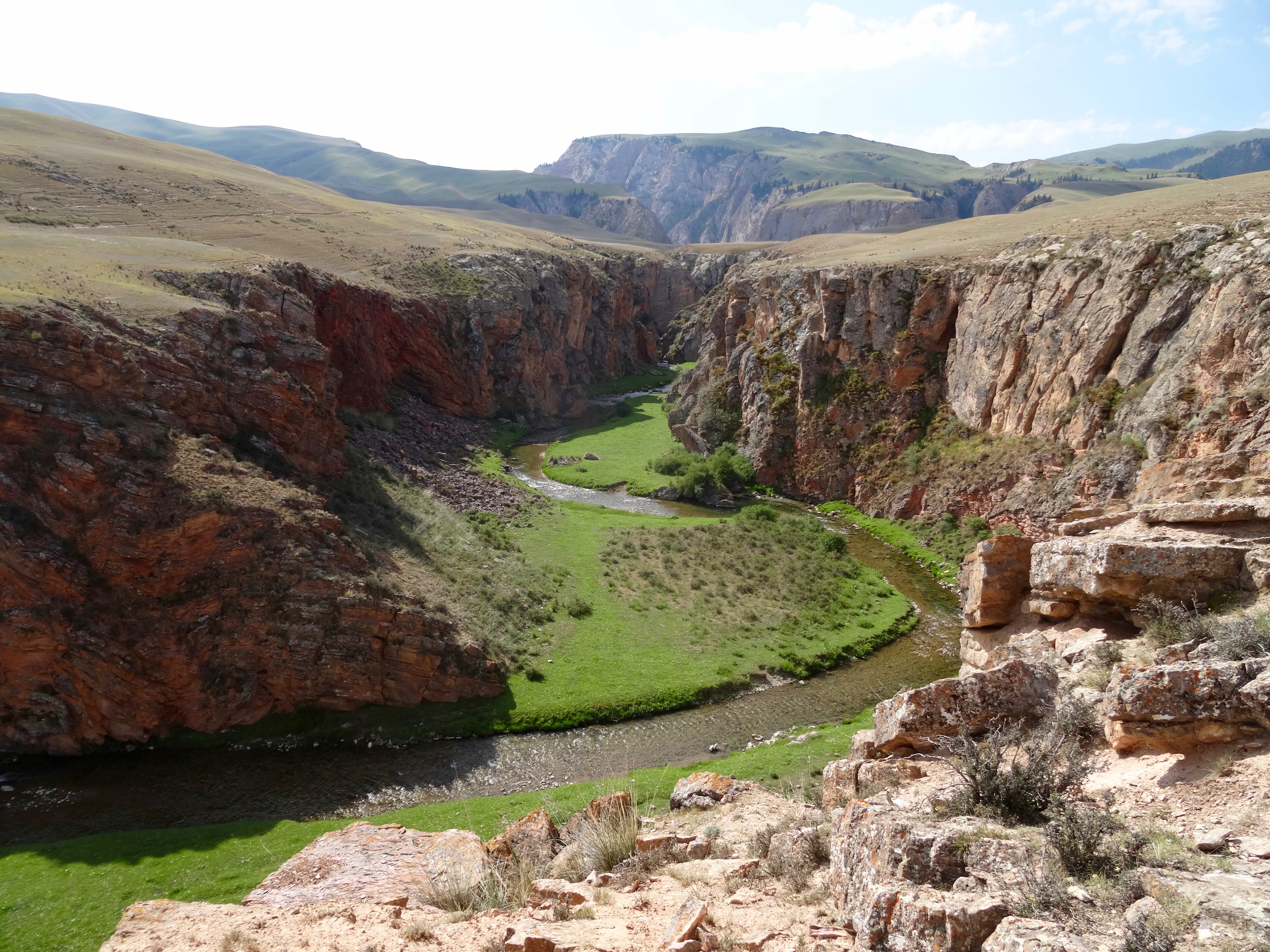 Today was a day of spectacular canyons. Leaving our summer farmstead we followed the valley round, climbing gently. The river disappeared into a canyon. About half way along we dismounted and went to explore the canyon from above. It wasn’t particularly high but it was beautiful as the river snaked it’s way through, the grass on either side a vivid green.
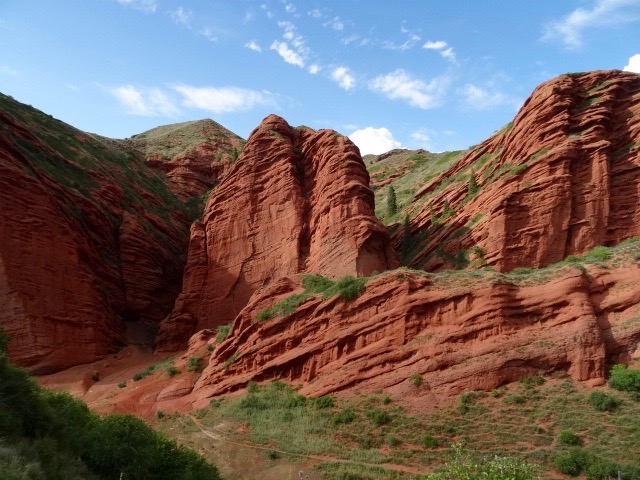
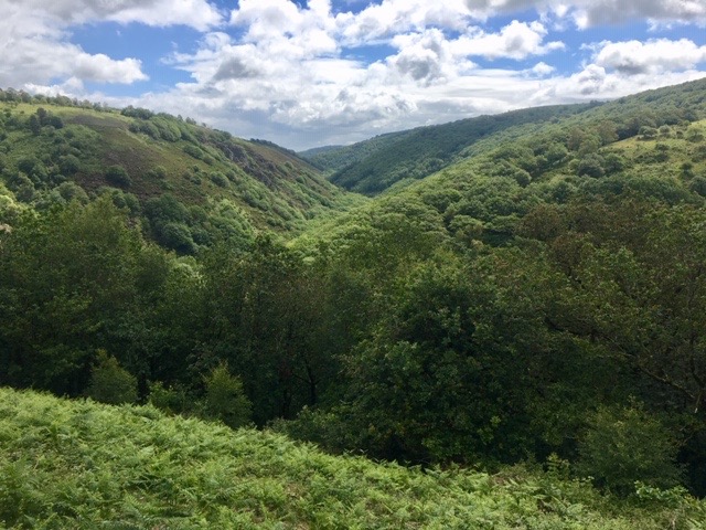
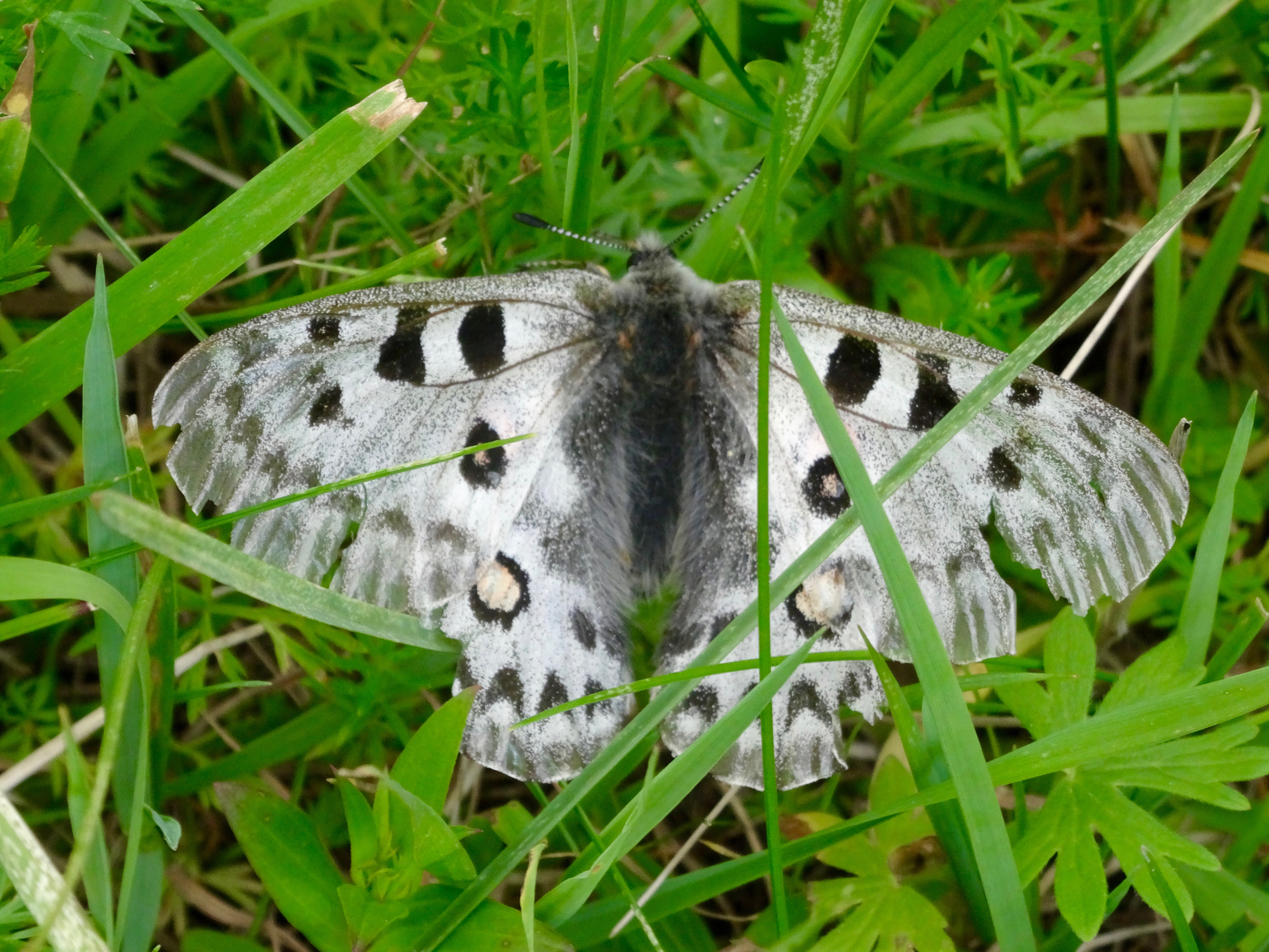
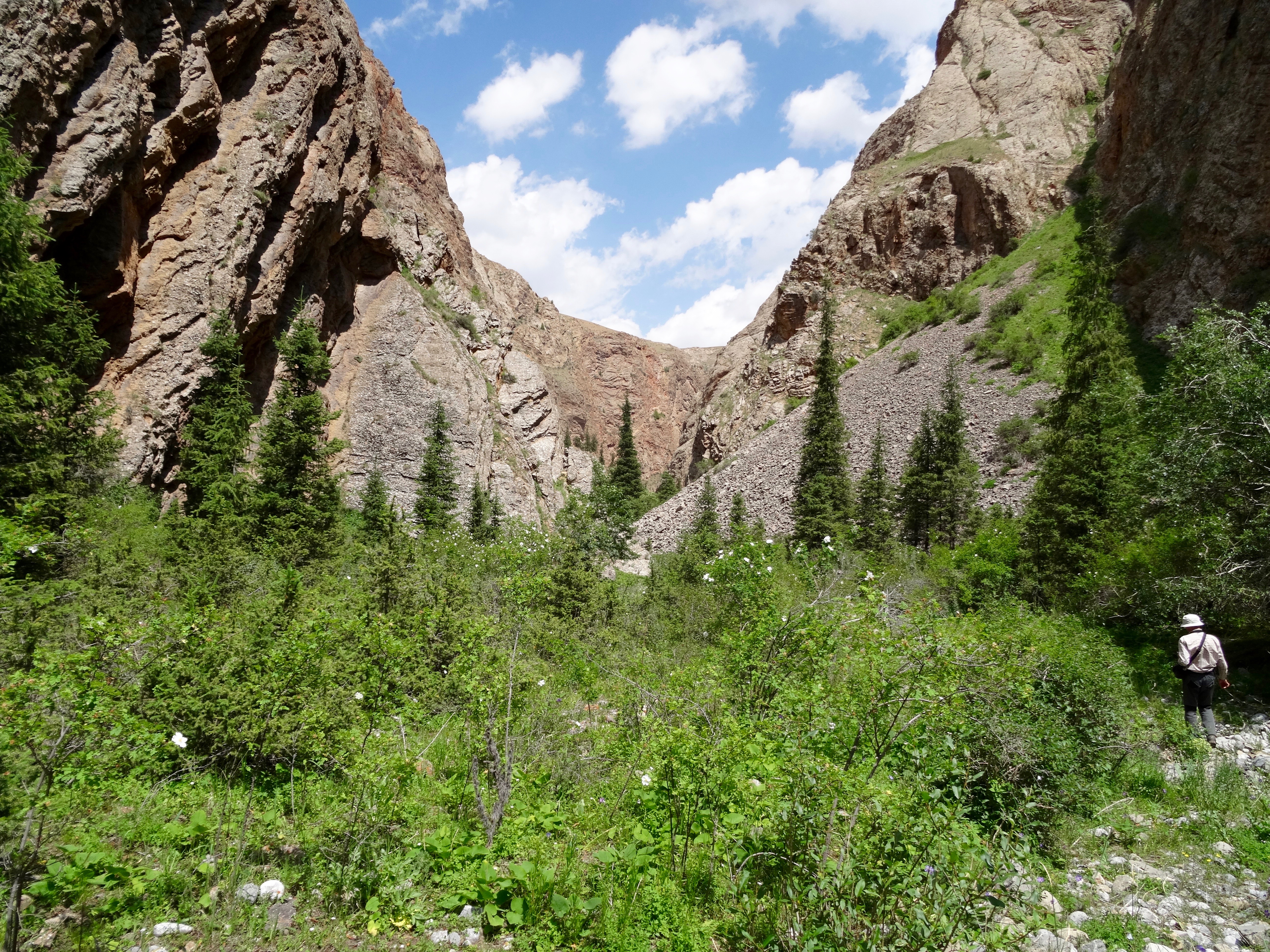
 Mounting our horses again we went to explore the next canyon. In order to do so we had to descend a very steep slope down to the river. Nigel was not keen and refused to go. This was not his fault but mine. He sensed my nervousness and that unnerved him. One of the pony team came to my rescue, taking the lead reign and guiding me down to the floor of the canyon. There we dismounted and explored the canyon on foot until we could go no further as sheer cliffs dropped straight into the river. The floor of the canyon was a mass of flowers and butterflies and with every step we took grasshoppers leapt out of our way. Unlike the first canyon we visited the walls of this were vast, rising in excess of 300m either side. In many places they were not smooth but gnarled and twisted by forces of nature. Above the cliffs vultures circled.
 Leaving the canyon behind, we again climbed up to the top of the ridge with opportunities to look down into the canyon. It was breathtakingly beautiful. It was from this lookout that we saw the reason for the vulture activity. There, in a large horizontal crack in the rock face was their nest.
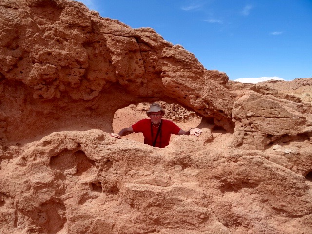
 Dropping down into yet another valley we stopped for lunch by a stream. Alex gave us an hour to either rest or to explore on foot. I chose to explore another canyon just a few minutes walk away with Alex and Claire. As we approached the entrance we were hit with a flow of air as it was squeezed between the two walls of the canyon. But this was short lived, once inside the canyon the air was still. This canyon had just a trickle of water flowing through it and as we explored further it dried up altogether. However, the floor was a mass of growth from flowers to prickly bushes and, in places the typical narrow pine tree. Occasionally steep grassy slopes rose up like a cone up to the shear red rock. In one of those places we came across a couple of goats but they soon scarpered for the shelter of the cliffs as soon as they saw us. A bird called out loudly a warning call but we never managed to see it. The vegetation was becoming denser and denser the further we ventured, so after a few hundred meters we turned back to join the others. As we did so, as we came out of the canyon, we saw our pony guides racing across the hill, rounding up cattle. The speed and dexterity these boys had on horseback was to be admired.
 We climbed, again, out of the valley to cross a ridge before our final long descent of the day. In one place the track was so narrow with trees and shrubs on either side, we had to dismount and lead our horses through, before mounting again and trekking through densely flowered pasture with a myriad of colours. It occurred to me that we had seen so many beautiful meadows and flowers but very few bees.
It was as a long ride into the village where we were due to stay. A rider came out to guide us to our accommodation for the night, a large house on the edge of the village. We were met by Mr Batyk and a group of young people with water to wash our hands and tasty snacks. The house belonged to a famous Kyrgyz musician who makes traditional instruments, and teaches young people to play, maintaining cultural tradition. Unfortunately he was not there but was returning from Moscow where he had been playing in a concert.
Having established our sleeping arrangements, men in one room, women in another, we went down to the river for a bathe to get rid of the sweat and grime of another seven hours in the saddle. It was very pleasant but, because we were in a village location, we had an audience of children.
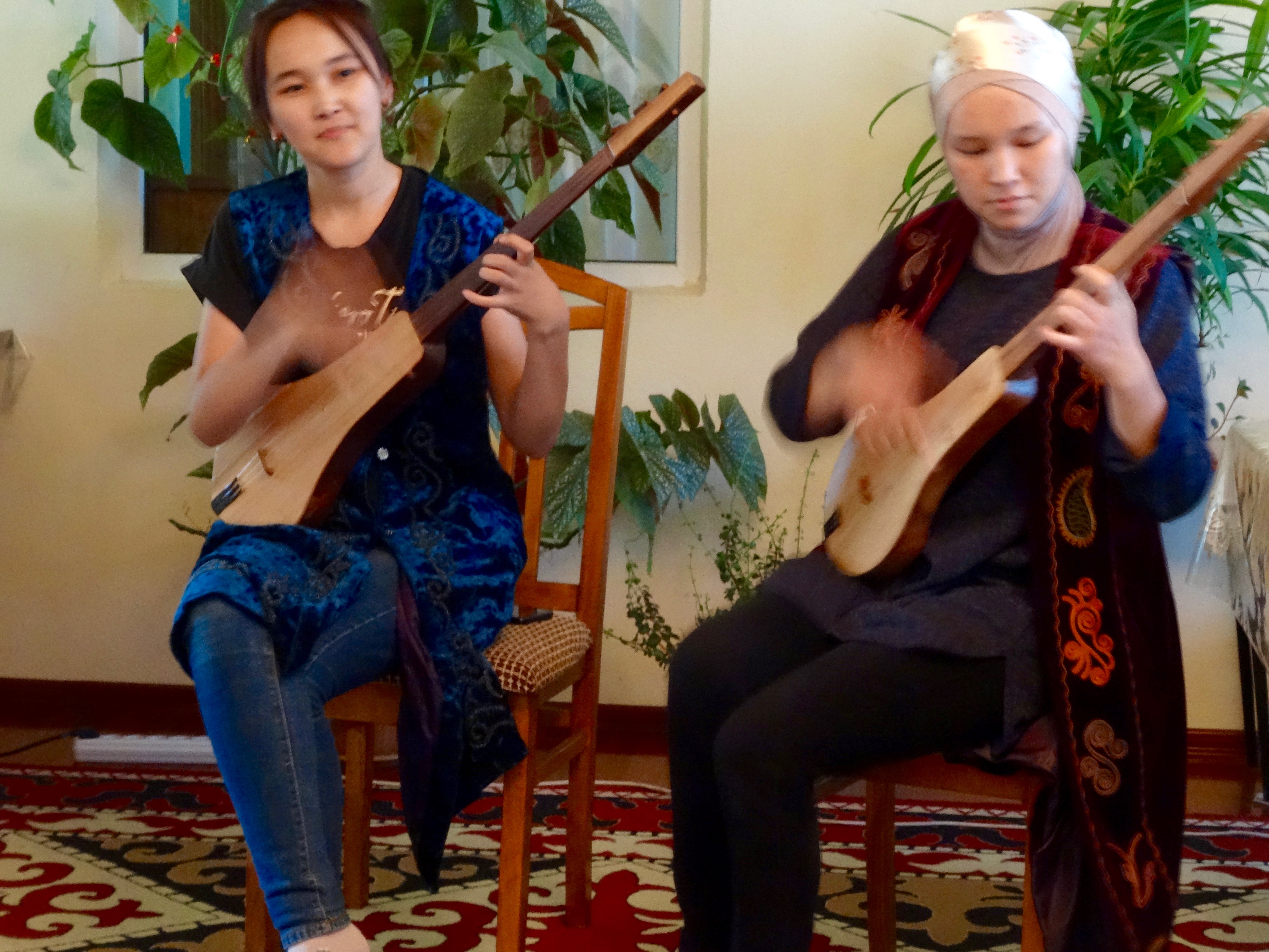
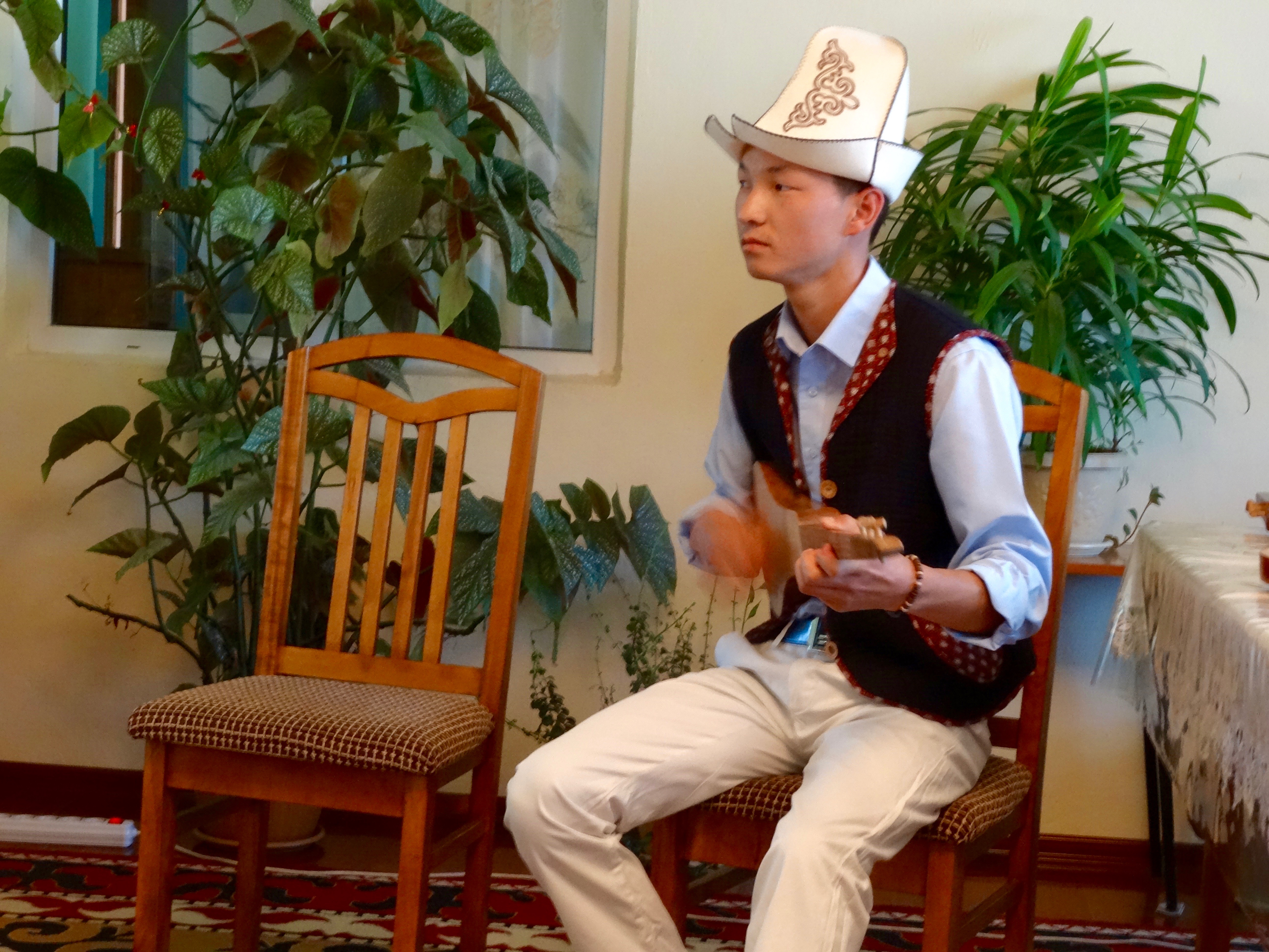
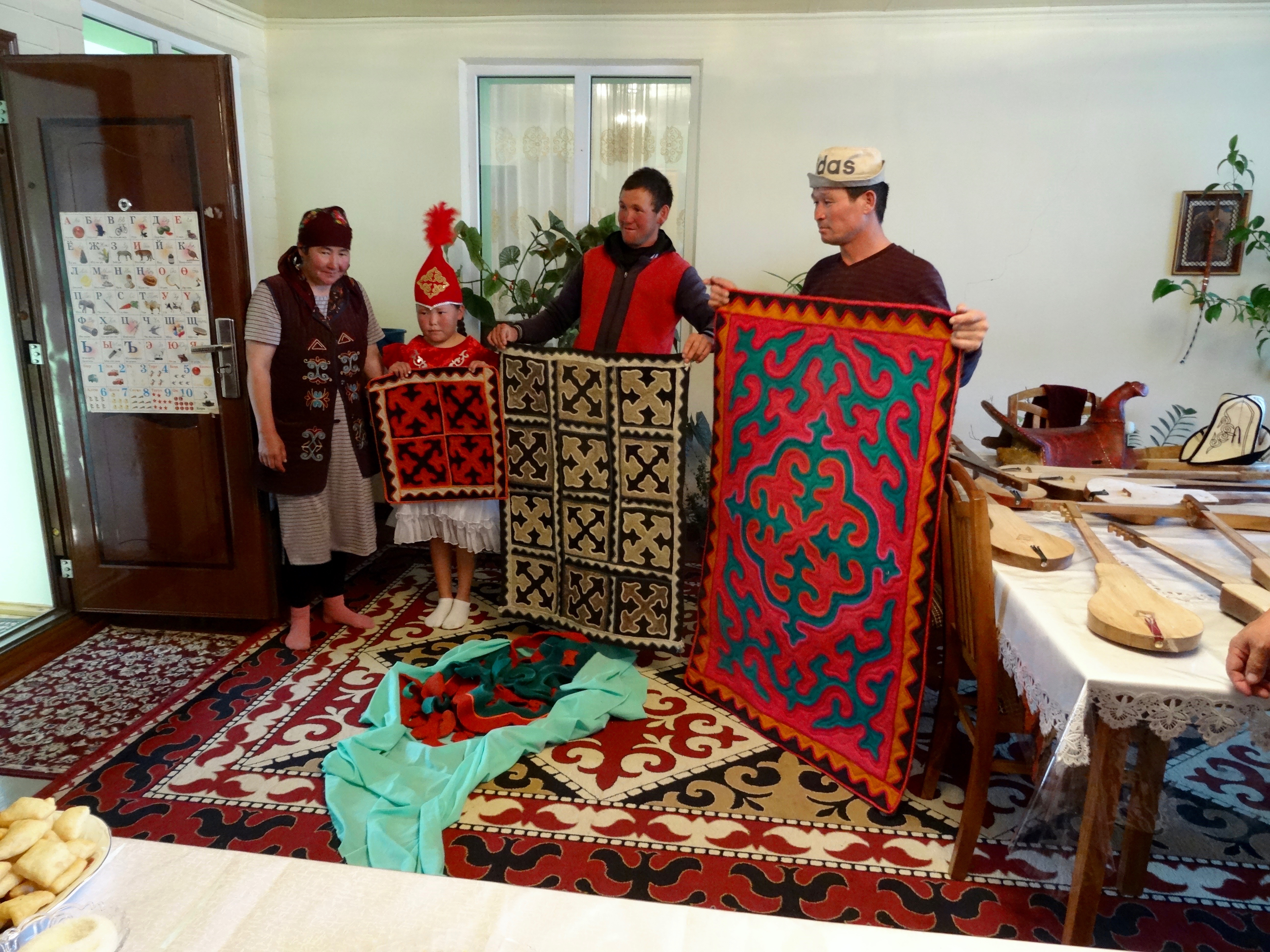 Before dinner we were entertained by some of the young musicians who were brilliant on the three stringed instruments, the kumuz, they played. Their strumming hand was a blur of movement. One young man also sang ballads. A woman came with a demonstration as to how they make felt rugs, Another opportunity to give us a genuine Kyrgyz experience. There was no pressure for us to buy anything.
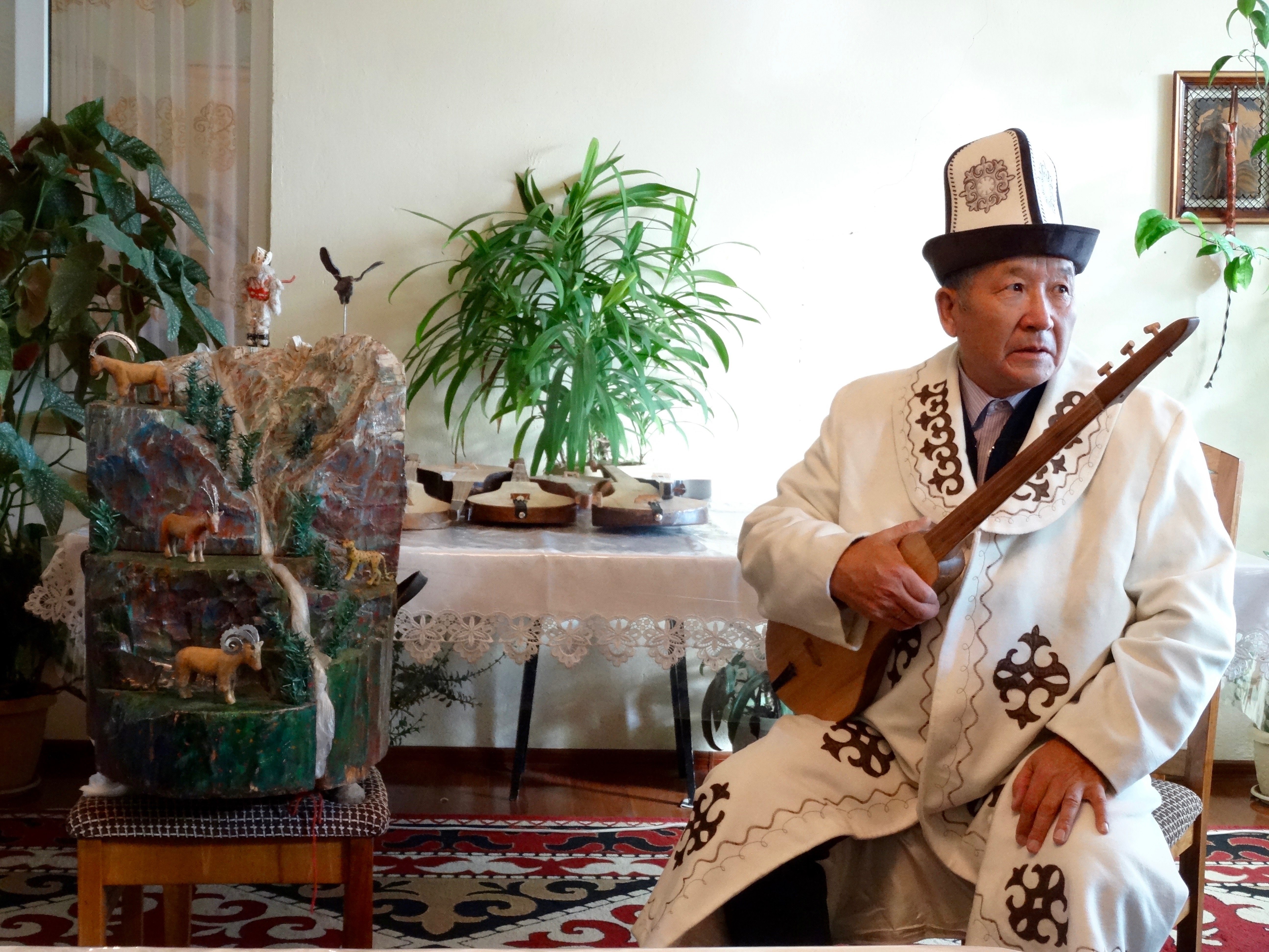 During the night our hosts returned from their trip to Moscow and insisted on entertaining us before breakfast. Dressed in national coat and hat he played the kumuz, while at his side and automaton of a mountain with ibex, goats, snow leopard, eagle and man bounced up and down in rhythm to the music. How it worked – he had a ring on his strumming finger with a thin wire linking it to the back of the mountain. Moving his fingers over the strings moved the figures.
There was much hand shaking and wishing well as we set off on our last morning of riding. I was beginning to feel much more comfortable in the saddle and this showed when we had a steep descent. Nigel was not keen but I displayed much more confidence and authority and he responded by taking me safely down the slope. I was pleased to have overcome my own fear.
 It was a good last ride, although Alex had had enough of sitting in the saddle and walked the last five miles into Ottuk. Meeting the minibus brought our ride to an end. We had spent about 23 hours in the saddle, travelling 55 miles. It had been a fabulous experience. We had ridden horses through perfect riding landscapes, stayed in authentic accommodation with people who have little contact with the outside world. Everywhere we stayed we were the first to stay in those places with those people. Mr Bakyt had organised everything from start to finish. Not everything was perfect but I wouldn’t want to change anything. The horsemen were so impressive. Every so often the would sweep low from the saddle and scoop up flowers for the ladies. They thoroughly deserved their tips.
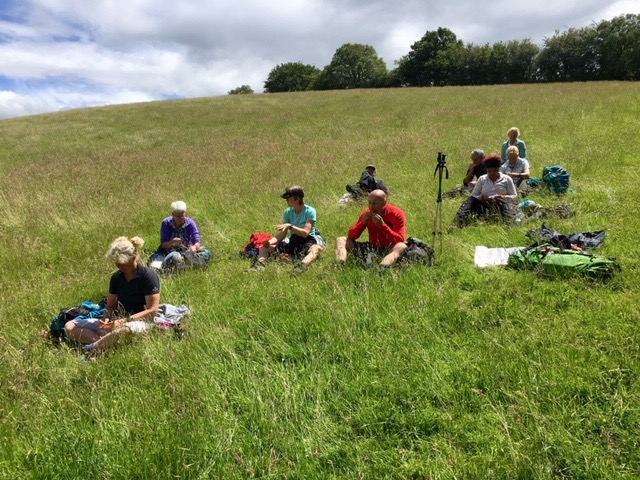
 Over lunch we were able to catch up on the adventures of Mike and Paul, who had had two good walks and a day at the Son Kul Horse Festival. As this is a one-day event a year, they were extremely lucky to have been in the right place at the right time. There they witnessed horse wrestling (wrestlers on horseback), horse rugby where the ball was a dead goat, music and dancing. A great day out, and although I wouldn’t change anything, it would have been a bonus if we could have fitted it in.
Later in the day, as we were travelling to Kyzyl-Oy, I received a text message from Nigel.
 Dear John,
I really enjoyed our time together and I was pleased to see your confidence grow with each day.
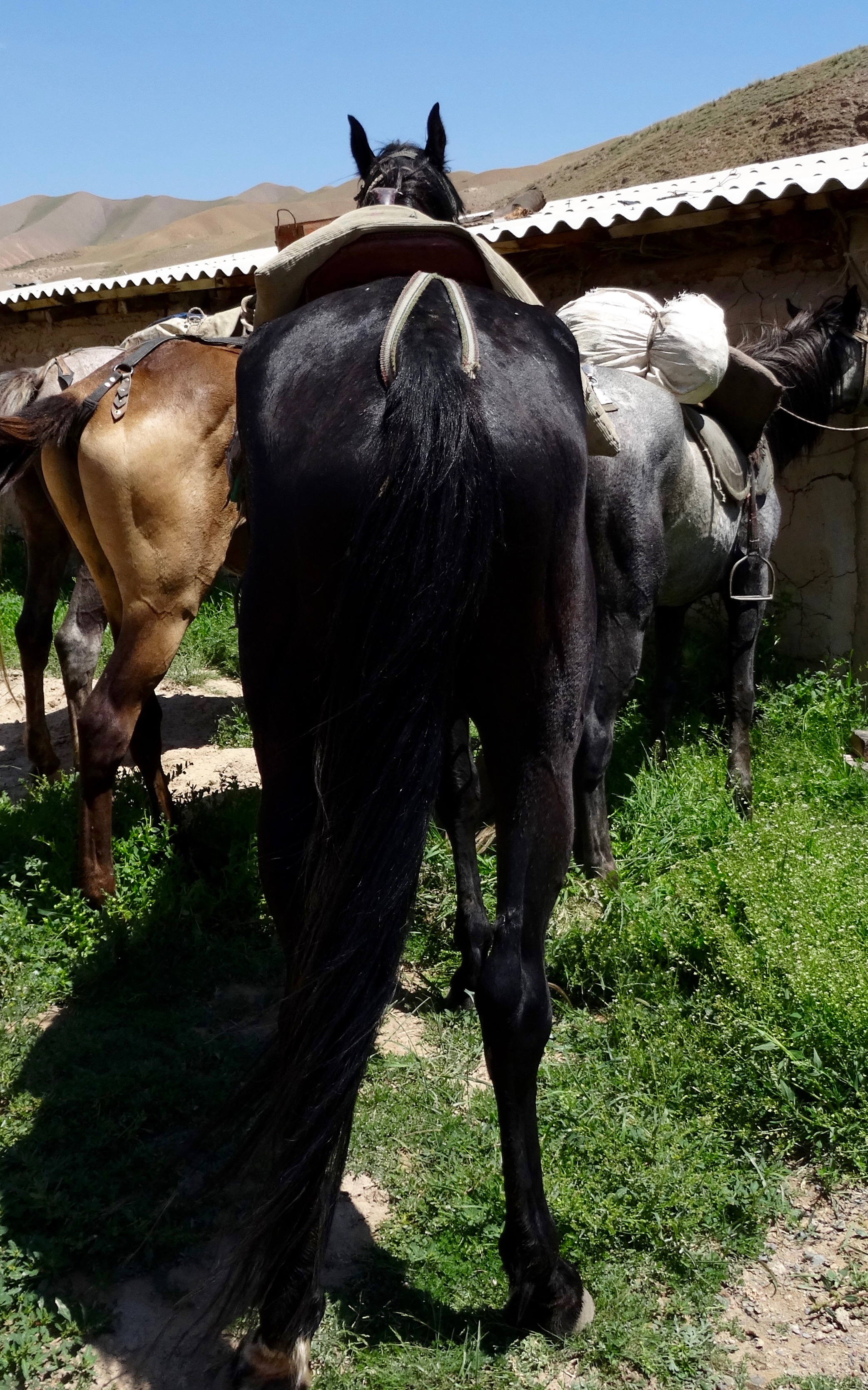
I’m so sorry that your last image of me on your camera is of my backside. I blame that naughty Paul Bascombe. He made me do it. I hope you will forgive me.
I understand that last year you lost some weight in preparation for this trip. I hope you don’t mind me saying this but I wish you had lost a bit more. I found it very difficult not to fart, particularly when you were bouncing up and down when I was trotting.
Finally I wish you all the best in the rest of your travels and I want you to know that by tomorrow, when my bowels have settled down, I will have completely forgotten you.
Love and snorts,
Nighghghgel