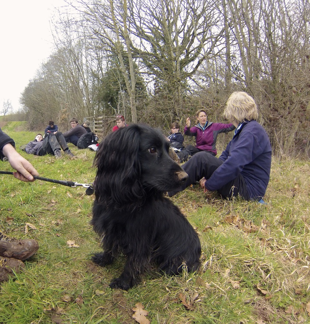
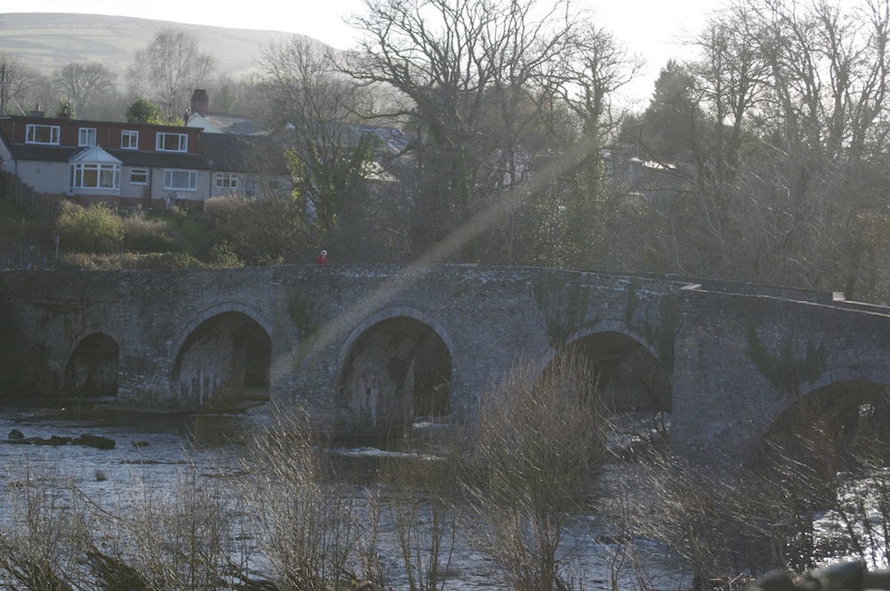
This year saw the 8th Crickhowell Walking Festival, an annual event which occurs largely during the first week of March. Every year, so far, the weather has been kind to us, but each year we fear that our luck is going to run out. Yes, we have had the occasional bad day but nothing that has lasted very long. The first weekend started worryingly bad with strong winds, rain and snow; the same weather that made the Share the Vision group avoid the Brecon Beacons. On the Sunday, one walker had to be rescued by helicopter when he was taken ill. Whilst nobody wants to see somebody suffer, it is very reassuring to know that the safety systems work and that the guides are fully competent in dealing with difficult situations, a credit to the organisers who are thorough in their organisation and briefing.
We need not have worried about the weather, for the bad weekend turned into a glorious week where clear skies and brilliant sunshine dominated. A cool wind blew throughout and we did have fresh snow on the summits midweek, making the conditions and experiences perfect.
However, the festival is not just about walking, there are events taking place in the evenings to inspire and entertain. The bigger names are hosted in Clarence Hall that can hold up to 200 people, while local speakers tend to use the smaller venue of the Bear Hotel. This is where I headed to on Sunday evening to listen to local guide, Kevin Walker, talk about his trip last year to Nepal, to trek in the Khumbu to Everest, culminating with a climb of Island Peak. It proved to be an excellent, well photographed and recounted story.
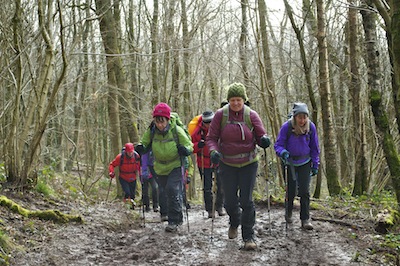
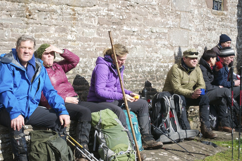
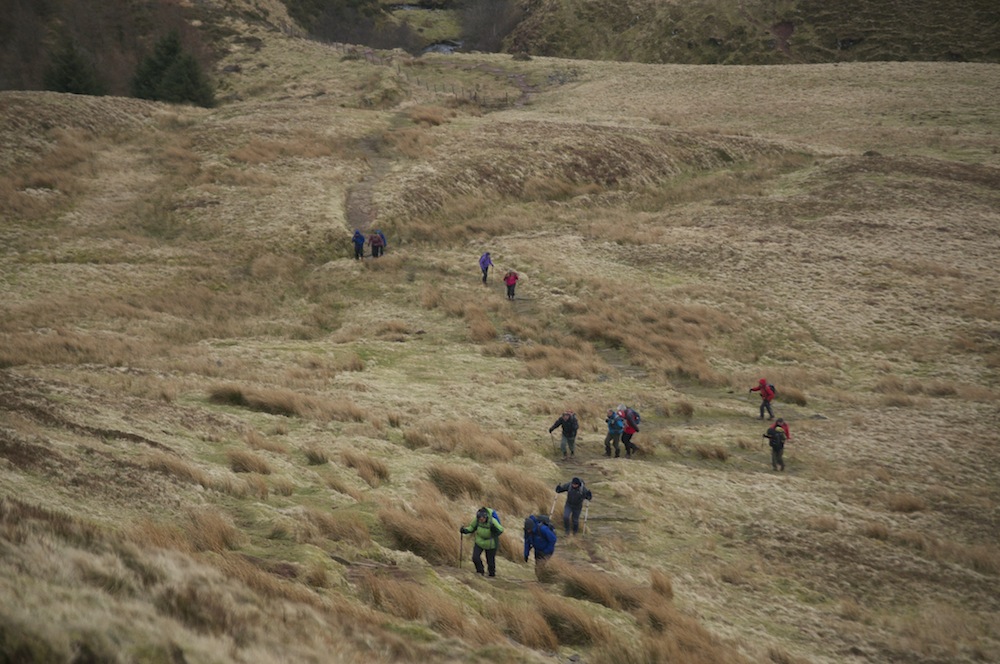
My role during the festival was to lead four walks which, collectively made up the first four days of the Beacons Way covering a distance of 49 miles and a total ascent of 10,815 feet. The logistics of linear walks can be difficult but each day we met at the end point where we were transported by minibus to the starting point. This proved a much appreciated service and opens up the possibility of many more linear walks in future years.
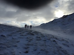
Day 1 – Skirrid (Holy Mountain) to Llanthony I had a group of thirteen to guide with Rob Sunderland, a local man with extensive knowledge of the hills, as my back marker. Everybody seemed happy and game for a good walk and I looked forward to chatting with them as the walk evolved. I was particularly happy that half a dozen were going to be with me for all four days, a chance to get to know them well.
Ascending the muddy slope of Skirrid
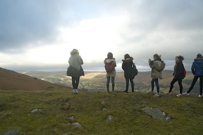
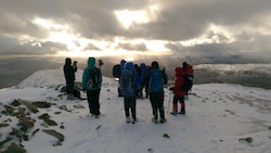
In bright sunshine we began by ascending Skirrid from its southern flanks. This took us quite steeply up a well made, if, at times, muddy path from the weekend rain, through a woodland of deciduous trees, whose branches creaked as they rubbed together in the the wind. I used the shelter of the trees to tell the group of some of the history, magic and myth of Skirrid, fearing that it might be too windy and cold on the summit to linger too long. Emerging from the trees on to the ridge we were blessed with pristine views across the Black Mountains and Brecon Beacons to the west, the Welsh Marches of Herefordshire and across to the Malvern Hills to the east, the Shropshire hills to the north and the Bristol Channel with the Quantocks beyond to the south. The wind was bracing but I could think of nowhere I would rather be at the time. The beauty of the summit persuaded us to linger and enjoy the moment despite the chilly wind.
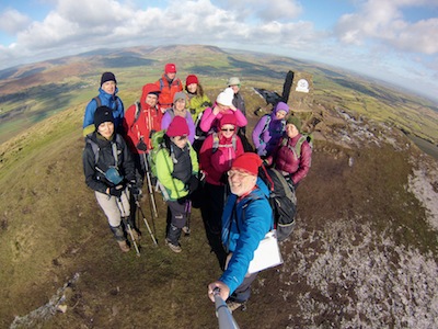
On top of Skirrid
The light was stunning. The sun is still relatively low in the sky but its brightness picked out the vivid greens of the grass, just beginning to show signs of spring growth. It highlighted the many colours of dormant trees awaiting a little more warmth before their burst of fresh growth. The greys and browns of tree bark patterned with lichen, the oranges and reds of last year’s growth providing a halo around the canopy of each tree, and all set against a backdrop of green pasture, brown/orange bracken, grass, heather and forested hills in the sunshine.
Descending across a patchwork of fields with heavily pregnant ewes grazing contentedly, we reached the small village of Llanvihangel Crucorney boasting to have the oldest pub in Wales. This is not the only pub to boast such, but it is certainly a strong contender. Judge Jeffries presided there and inside there is the beam from which they hung offenders. We avoided the temptation and continued with our journey, climbing out of the village towards Hatterrall Hill, where the Beacons Way joins Offa’s Dyke for a short distance. It was on the slopes of Hatterrall Hill that we hunkered down behind a wall or in the ditch, which forms part of the iron age fort, for lunch.
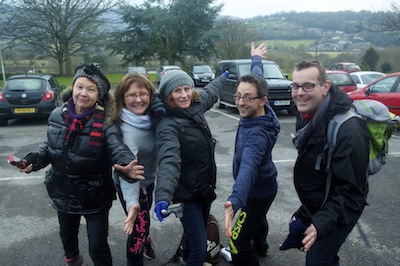
This was a good opportunity to catch up with the group and learn more of them. They had travelled from a wide variety of places to take part and this is testament to how well known the festival is becoming. As well as local people from Abergavenny and the surrounding area, there were others from Gloucester, Hereford, Manchester, London and Malvern. Whilst those that were local could go home each evening, those that had travelled tended to stay in local accommodation, fulfilling the ambitions of the festival to help all of the local community to benefit. It was great to meet new people and to relish in their enthusiasm for walking and the outdoors.
The Beacons Way and Offa’s Dyke join together over Hatterrall Hill
Continuing, we climbed to the trig point on Hatterrall Hill, continuing to follow the ridge that makes up Offa’s Dyke, before descending via the Pony Track to Llanthony Priory. We finished at 3.30pm, in good time, but this was going to be the easiest day and was, as such, a good introduction for the harder days to come.
In the evening I went to Clarence Hall to watch the BritRock films, a series of films by Alastair Lee, on climbing, mountain biking and other ambitious activities in the outdoors. An enjoyable evening culminating with some chat in the bar of the Bear before heading up the Grwynefechan Valley and my tent in the grounds of the Old Chapel.
Day 2 – Llanthony to Crickhowell There are four main ridges in the Black Mountains and while we walked on one yesterday, we were to cross the other three during the course of day 2, making it a more taxing and longer day.
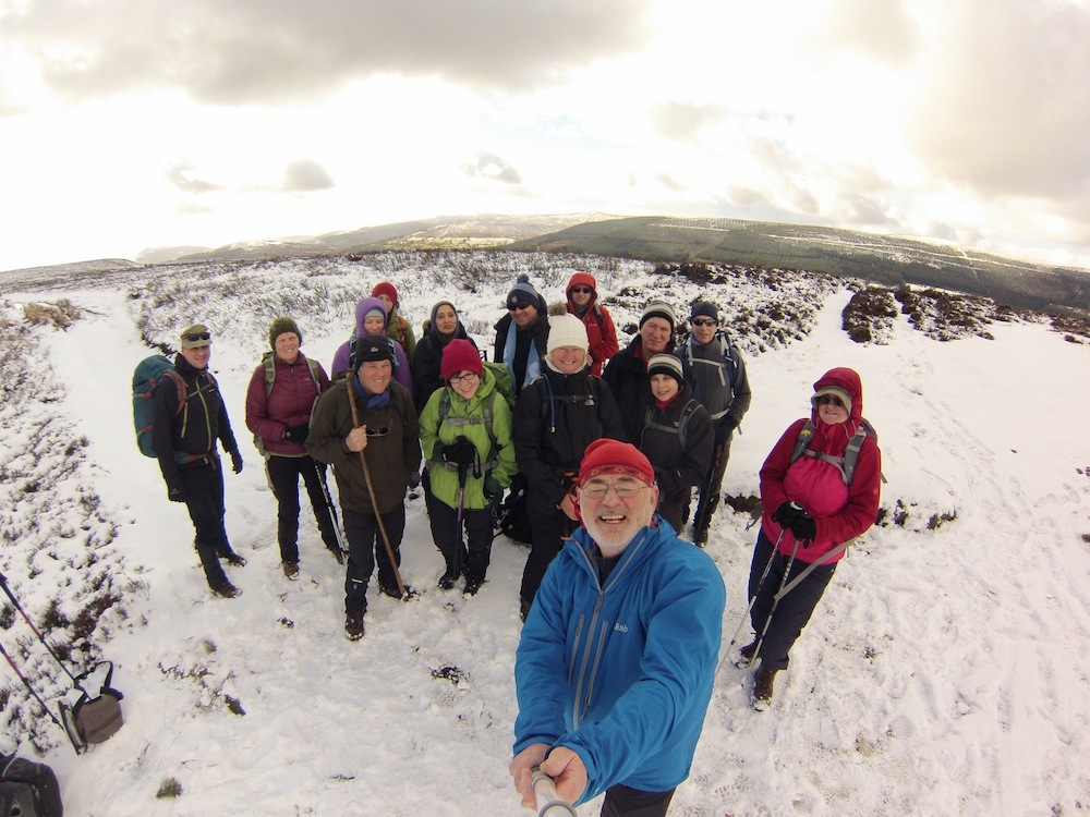
I awoke with the birds at first light to discover that my tent was frozen and the hills were covered with a significant fresh fall of snow. The skies were again clear, and, although it may well remain cold, the conditions were going to be perfect for walking.
looking back at Llanthony Priory
Gathering in Crickhowell, I now had a new group of fourteen that still included the six from yesterday. Today, my group included two from Dubai, although they have long established links with this part of the country. It is good to know that they combine visiting family with enjoying the very different elements of the Black Mountains. Cold, wind and snow must be a huge contrast to the dry desert of the middle east. My back marker for the day was Sion James, a local guide and one of the main organisers of the festival. Good company.
Bal Bach
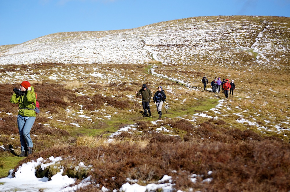
I was not looking forward to the first part of today’s walk, the climb up from Llanthony to Bal Bach. It was always the first climb on the 42km Big Black Mountain Challenge, an event that takes place each May, and I have bitter memories of the pressure one felt to go fast because of the volume of walkers and runners behind. I was hoping that today’s climb up to Bal Bach was going to be less pressurised and more enjoyable. And that is how it turned out. We soon hit the snow line and as we climbed it became deeper and deeper, so that, by the time we reached the summit, it was about four inches deep and beautifully crunchy under our boots. Despite the cool wind, it was a good place to stop for photos and to recover from the climb while sucking a Werther’s Original!
The next section of the walk was an easy, two and a half mile, gentle down hill section into the Gwryne Fawr Valley. The walk was punctuated with interesting historical tales, the most recent being a marker post denoting a boundary. Pre 1974 there was a circle of Herefordshire completely detached from the rest of the county and surrounded by Monmouthshire – a bizarre quirk of history. However, the much more interesting, and bloodthirsty tale is that which surrounds the ‘Revenge Stone’ a little further down the ridge. Richard de Clare, a Norman knight, had invited several Welsh barons in Crickhowell Castle to celebrate Christmas. Having persuaded his guests to leave their weapons outside he slaughtered them all.
Some year later, in 1135, Morgan ap Owen, who had been too young to attend the Christmas gathering, took his revenge. Richard was travelling from Abergavenny to Talgarth and Brecon when he was ambushed and slaughtered by Morgan and his men!
At the lowest point of the walk, adjacent to the Grwyne Fawr River, there is a Tabernacle Chapel with a small graveyard attached. The graves were ablaze with white snowdrops.
Enjoying the sunshine at Partrishow Church
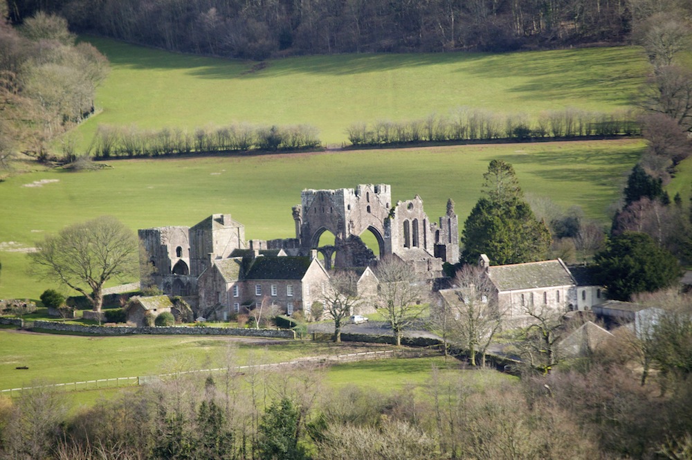
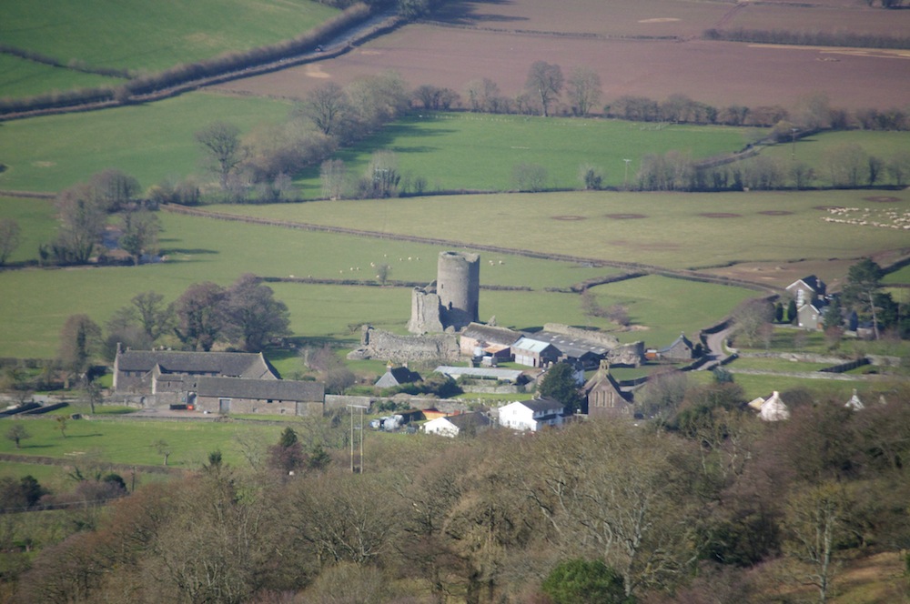
Climbing up the other side of the valley, we quite soon reached the beautiful Partrishow Church, perched on the hillside with far reaching views. Sitting on the south side, bathed is gloriously warm sunshine and sheltered from any wind, we ate our lunch. Again, the headstones rose out of a sea of white snowdrops with their droopy heads turned down in embarrassment at their own beauty. It was an idyllic place to stop and we were quite content to linger and not rush into the rest of the walk. We were happy to allow it to last as long as we could and therefore gave ourselves time to explore the inside of the church with its ornate wood carving and ancient wall paintings.
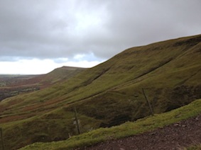
Descending Crug Mawr
The climb up the narrow tarmac road immediately after lunch was a rude awakening after our lazy rest at the church. The heart pumped and the legs ached in those first few minutes and although the climb continued on the open hillside, it seemed so much easier than the road. The climb took us to the trig point on Crug Mawr, most of the snow now having melted in the sunshine. It was just the higher peaks that held on to it and, looking back at the ridge from Bal Bach, where there had been several inches, there was now none. How quickly things can change.
The Grwynefechan Valley
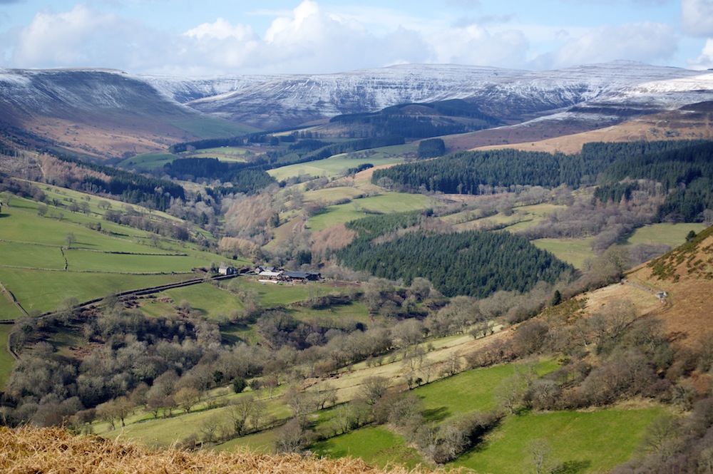
The descent from Crug Mawr brought us down into the Grwynefechan Valley, considered by many as the most beautiful in the Black Mountains. It is surrounded by the highest peaks of the range and culminates in a wall of mountains, including the highest, Waun Fach, at its head. Its patchwork of pasture, forest and open hillside looked stunning in the afternoon light.
By the time we reached the crossing of the Grwynefechan river it was time for a snack and a drink sitting on the remains of one of the bridge spans left on the riverside in a beautiful patch of meadow. The old bridge had been destroyed by a flood and the remains now make for a very handy seat.
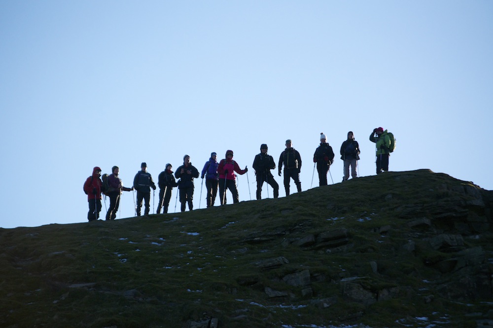 We now had just one climb to do, that up the west side of the Grwynefechan Valley to Table Mountain, overlooking Crickhowell. Legs were beginning to tire a little and the afternoon was drawing to a close. As we neared Table Mountain we hit the full force of the wind and in the late afternoon, as the sun was sinking in the west, the temperature began to plummet. Just enough time for a silhouette photo against the clear skies. It was too cold to linger there any further, so we made a hasty retreat out of the wind.
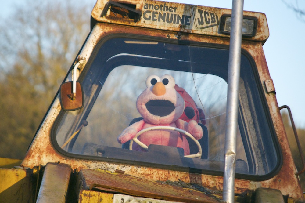 The descent was down a beautiful wooded cleft in the hillside following the line of a brook to fields above the town. In the bottom field we were greeted by two friendly donkeys, a huge, but very docile, English Longhorn bull with the biggest horns I have ever seen and a few, similarly docile, Highland Cattle. Tucked away in the corner of the field was a rusting JCB with a very surprised driver at the controls!
We reached the centre of Crickhowell at 5.45, making the day significantly longer but thoroughly enjoyable.
In the evening I met up with friends Simon and Ann to listen to David Thomas give an illustrated account of our 2012 trip to the north side of K2, a trip we had all been on and which I led. David did a good job and we hardly felt the need to heckle at all! This was also the evening that I fell off the wagon. Having foregone alcohol for two months, the exertions of the day helped me realise that sometimes you have to reward yourself. I think it was justified, particularly as there had been no weight loss benefit from being so strict on myself.
Day 3 – Crickhowell to Llangynidr More brilliant sunshine and clear skies greeted me as I emerged from my tent. I felt I had slept well but I was still feeling a little jaded. Maybe I had spent half the night sleeping off the alcohol and not the exertion of the day. When I met the group, those who had been with me throughout were also feeling a little tired. Perhaps it was the walking that made me feel jaded today and not the beer! I felt I had an excuse to do some more research in the evening. Reassuringly, the walk was less arduous today with only a couple of climbs, although the distance was up slightly.
Setting out from CRIC, we retraced our steps through town until we reached the farm where the path begins to climb up towards the Darren on the southern flanks of Pen Cerrig-calch. My back marker today was Joyce Daly, another local with huge interest and enthusiasm for the outdoors. The route took us through the deserted village of Twyn. In the First World War all the men and boys signed up to join the Lads Regiment and went off to fight in the trenches. Sadly, not one of them survived and, as a result, the women abandoned the village. All that remains of the old village are a few tumbled town cottages gradually being consumed by nature and the environment.
Tretwr
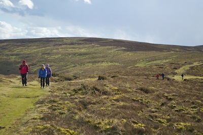
Having reached the open hillside the route, for several miles, largely contoured around the hill overlooking the Usk Valley. Below us the river shimmered in the sunlight. Ahead, we looked upon the snow clad Brecon Beacons, our destination on the last day of this four day walk.
When I walked this route a couple of weeks previously I had been disappointed by the lack of respect shown by those involved with the Glenusk Estate shoot, destroying the vegetation and leaving all sorts of equipment littering the hillside. I was pleased to see that things had improved, that the debris had been removed and it all looked a lot tidier. There are more people than just game hunters (if you can call it hunting) wanting to use these hills and we should all make the effort to look after them for each other and not be selfish in how we use them.
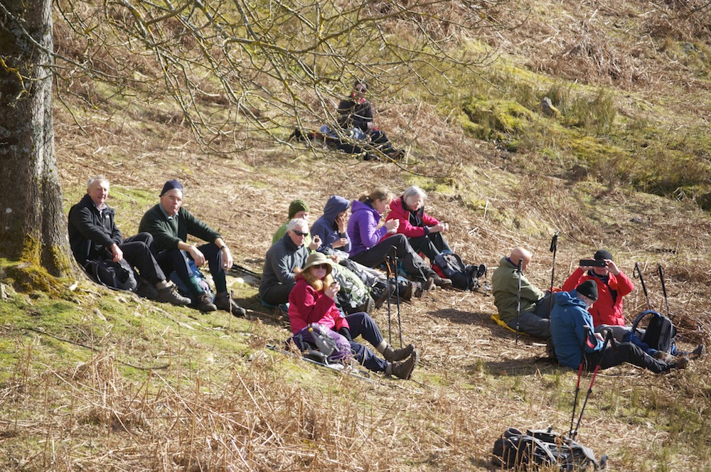
Coffee break
After several miles we began the descent into the village of Cwmdu where we sat on the steps leading to the church. We had seen buzzards circling the skies during the walk in the morning and as we approached Cwmdu I saw a sparrow hawk dart just above the hedges looking for an opportunist meal. While we were sitting, eating lunch and enjoying yet more warm sunshine, a red kite circled majestically overhead. It is good to see that they are becoming more widespread and are not just concentrated in small pockets.
Leaving Cwmdu, we ventured up the hidden valley, a beautiful, short valley with a wall of hills at its top end. The lane, up which we walked, was planted with daffodils, which, given a few more days, would be a blaze of colour. Near the top of the valley is the most stunning stone house and above that, by contrast, the last settlement in the valley, a ramshackle abode with an array of crudely built sheds around it and littered with decaying farm machinery and vehicles. A stunning location in need of some TLC.
Looking across at Pen Allt-mawr and Pen Cerrig-calch
A short, steep climb took us to the top of the ridge below Mynnyd Llangorse. From here we descended the ridge to Cefn Moel with views of the lake at Llangorse shimmering like a jewel as it accurately reflected the blue sky above. It was a stunning ridge, so much so that we felt it necessary to linger on it as long as possible, stopping for an afternoon snack in the lea of the stiff, cold wind travelling across from the still snow-clad Beacons.
The bridge over the River Usk at Llangynidr
Leave we must, so we made the short descent into Bwlch, crossing the busy A40 to continue through fields towards Llangynidr. The hardest part of the day was the last part of the walk, along the B4560 into the village. The hard surface jarred our limbs as we descended to the bridge over the River Usk, only to climb up to the top of the village where our cars were waiting for us. As I predicted, we finished the walk at 4.30.
In the evening I didn’t have an event to go to so I met up with friends and we had a meal at the Bear. I felt I deserved a steak and it did not let me down. I also conducted some more research into the effects of beer and hoped I would have a better analysis in the morning.
Day 4 – Llangynidr to Storey Arms The final day was the longest in terms of distance, approximately 14 miles and the greatest ascent. We also had the longest road journey, which meant that we would be a little later setting out. My concern was that I was speaking in the evening at a Rotary dinner and that it might all be a bit of a rush at the end of the day. Rob Sunderland was my back marker again and Sion was going to take over leading the group from the gap between Fan y Big and Crybn, giving me time to get back and organised. I felt more energised today so I assessed that no harm can be done by drinking a beer or two in the evening.
Today, there was much more cloud and there was still a stiff breeze. Although it was supposed to be getting warmer, the forecast predicted that on the summits the temperature would be several degrees below freezing, taking into account the wind chill.
Climbing gently, but steadily out of Llangynidr we reached the ridge of Bryn Melyn, overlooking Talybont Reservoir after about an hour. Then started the least pleasant section of the the whole of the four day route. The surrounding scenery was fabulous but for 6km we were walking along the wide cinder track of the former tram way. The positive of this section was that we could cover the ground quickly but it was tiring on the feet. it was also the only section where we became quite spread out.
Climbing up to Craig y Fan Ddu
Reaching the top car park at Blaen-y-glyn we stopped for lunch, recharging our batteries before the steep climb up to Criag y Fan Ddu. I set out before the group in the hope that I would get a signal and be able to make contact with Sion. I wanted to keep him informed of our progress so that he didn’t find himself waiting too long for us and getting cold. It was cold across the top and there was still quite a lot of snow about. Amazingly, I met a couple of young men in tracksuit bottoms, trainers and thin jackets walking across the top. They looked cold and admitted they were not properly dressed. Why do people put themselves, and possibly others at risk?
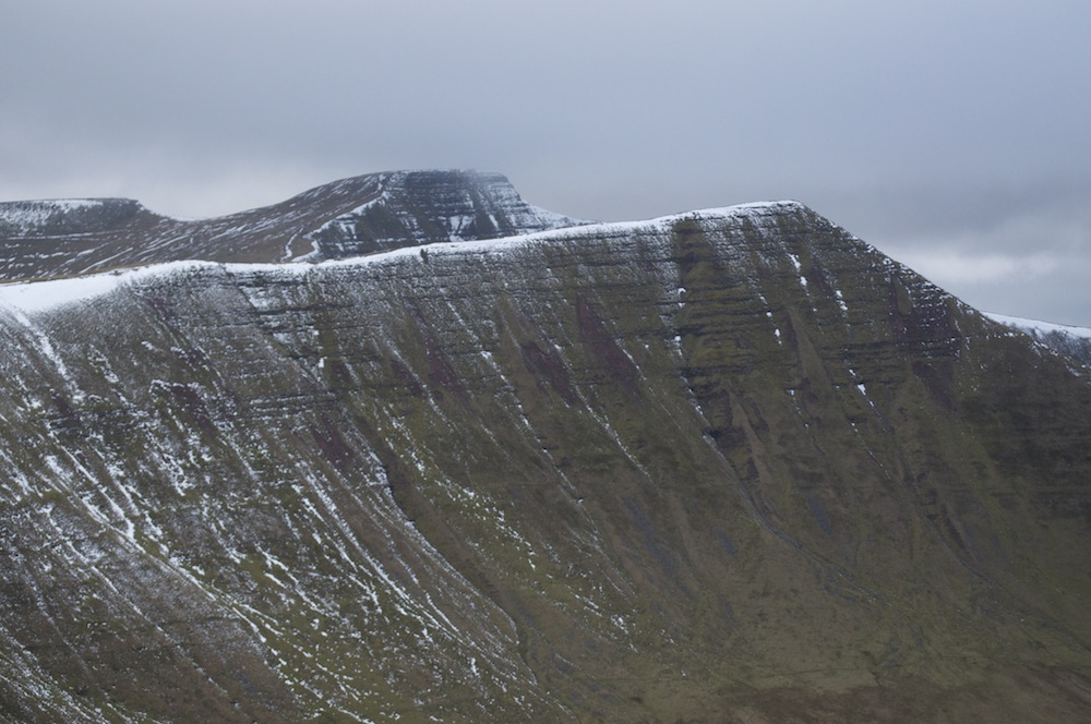
Cribyn, Pen y Fan and Corn Du from Fan y Big
From Blaen Caer fanell we cut across the moor to pick up the line of the northern escarpment, which would bring us gently to the summit of Fan y Big and a last photo opportunity before I left them in the safe hands of Sion. Descending to the col we met Sion and while he continued with the group round the back of Cribyn, up Pen y Fan and Corn Du before the easy descent to Storey Arms, I headed down to the Taf Fechan Forest to pick up Sion’s car in order to get back to Crickhowell.
The timing proved to be perfect and I wowed Crickhowell Rotary with my talk on ‘Share the Vision’.
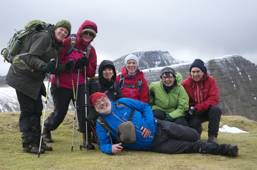
The faithful 6 and me
The four days of walking with a mixed group of walkers each day was hugely enjoyable, made even better by having a core who were with me throughout. We had become quite attached by the end and I know, I for one, will look forward to, hopefully, walking with them again one day.
Beyond my involvement with the festival the weather continued to be good right up until the end. Maybe they’ll have bad weather next year when I will not be able to join them because I’ll be walking in the Western Ghats in India. Somebody’s got to do it!