Following the success of last year’s ‘Old Gits on the Wye’ a number of friends expressed an interest in a four day camping trip, paddling the River Wye from Hay-on-Wye to Redbrook. This has to be one of England’s finest rivers and the fact that it is not navigable to anything other than a canoe, apart from a short stretch at Symonds Yat where pleasure boats glide, makes it such a pleasurable journey.
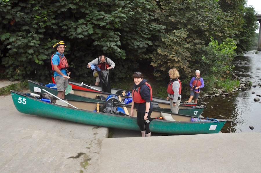
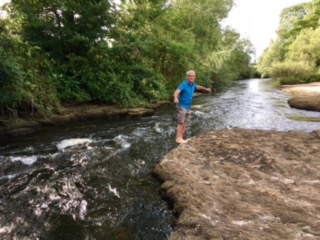
Final preparations before leaving Hay
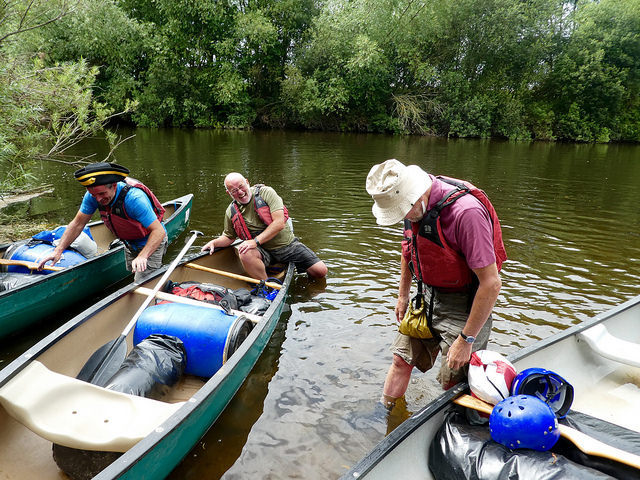
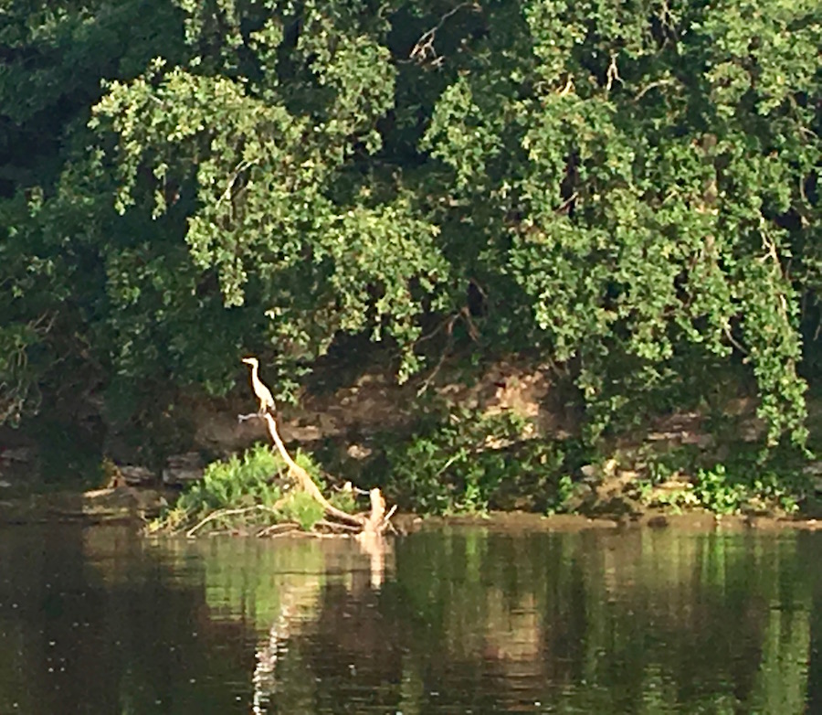
Six of us met early on Monday morning and made our way to Ross-on-Wye Canoe Hire Company for 6.30am, where we were to pick up our canoes and associated kit, and be driven to Hay. It has been a particularly dry summer and the water levels at Hay were lower than they have been for years. There was a distinct possibility that we would be running aground and possibly having to porter our canoes over banks of gravel just below the surface. With all the kit shared and stowed between the three canoes, we entered the water and began our 80 mile journey at about 8.00am, enabling us to have a leisurely day travelling the 18 miles to Bycross. It was still early enough for there to be plenty of activity on the river with herons positioning themselves by any fast flowing water on the lookout for breakfast. Unfortunately, they did not feel comfortable with our approach, causing them to fly off before we could get really close.
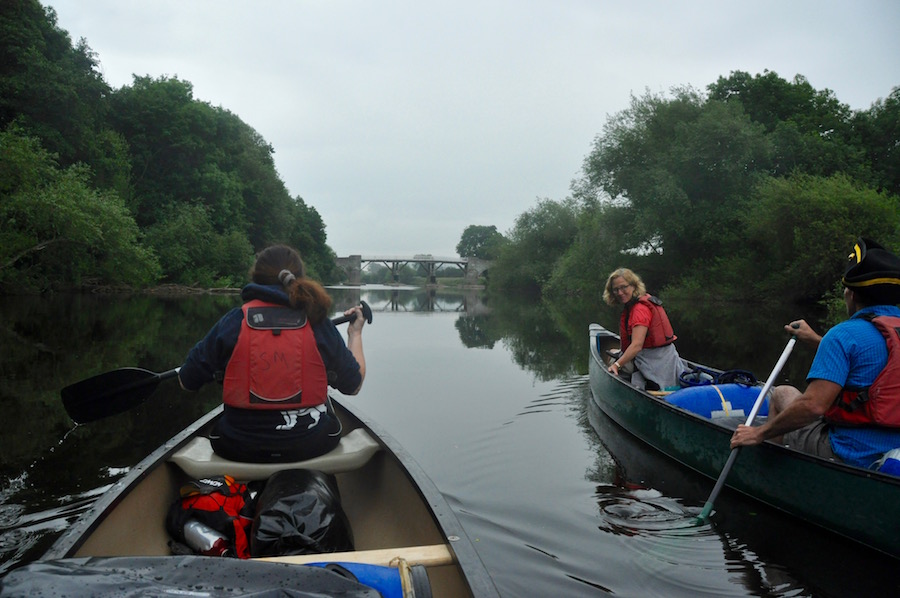
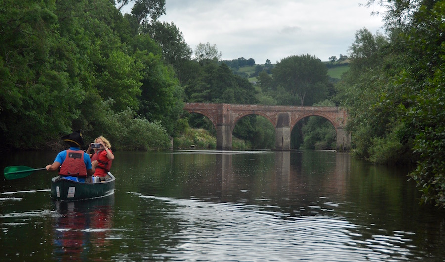
Approaching the toll bridge at Whitney-on-Wye
Initially, we picked our way through channels of deeper water, avoiding, in the main, the banks of shingle and rocky outcrops. it was also a time for us to get used to paddling with our partners, coordinating our strokes in an effort to maintain a relatively straight line.
Soon we were in deeper water, giving us much more flexibility but these wider sections would become narrower at regular intervals as more of the river bed became exposed. All along the river the banks were largely lined with trees or heavily vegetated banks of Himalayan balsam, giving just a very narrow view of the river and its immediate environment. Very rarely did we get a view beyond, but when we did it was usually of some very splendid house and gardens.
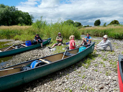
Taking a break on an island mid river (Photo – Claire Cox)
There are very few places where you can officially land a canoe. The land owners on either side of the river own the river butting on to their land. Often there are signs warning of there being no rights to landing. However, where we could we would take the opportunity to stretch our legs, get the stove out and make a cup of tea. After all, we were not in any rush after such an early start. We also had to take care, when we did land, that we were not disturbing any swans with their broods of anything between two and five cygnets. Had we done so we might have encountered the aggressive side of a swan’s nature, but, as it was, all we saw were majestic birds with their fluffy young.
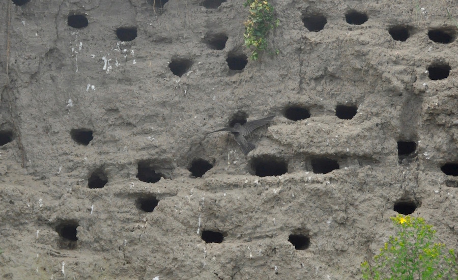
A sand martin delivering to its young
The air above us was alive with swooping birds, sand martins, skimming the surface of the river at speed, picking up insects as they did so. Where the bank was exposed, sandy cliffs had formed, created at a time when the river was much higher. Now, they were honeycombed with holes, each with a nest full of hungry chicks. Once the parents were loaded with insects, they swooped into their hole, deposited the food down hungry throats, and swept out again to hunt for more. Their aerial dexterity was a joy to watch. It was incredibly difficult to photograph these birds as they moved so quickly. Also, if we ventured too near to the bank they would cease delivering until we pulled back to where they considered they were safe.
Bredwardine Bridge
The Wye is crossed by numerous bridges. The most beautiful are the old, sandstone road bridges that have spanned the river for centuries. Some have been widened to cater for modern day traffic but have retained their original arches. The first we came across was the bridge at Bredwardine. Some have not survived. many of the railways that crossed the river no longer exist so the bridges have been demolished, leaving monolithic pillars rising out of the water, reminding us of a time when steam ruled.
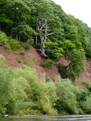
Photo – Claire Cox
On the whole this is a gentle, sedate part of the river, but there are reminders of the damage it can do when there is a lot more water flowing down it. One feature, named The Scar is on a sharp right hand loop in the river. Here it has gouged into the bank creating a steep cliff. At times, when the river successfully eats further into it, damage occurs higher up. At the moment this is plain to see as a tree, now dead, clings precariously to it earthly anchor. I suspect, given one more winter, it might lose its grip and end up in the river. Half way down the cliff there is a tree that is not only hanging on, but hanging on to life as it gradually makes its way to a watery grave. These signs of damage along this tranquil river are rare. That does not mean to say that this river does not have its angry moments. It is a very different river in the depths of winter, much deeper, much faster flowing, and full of silt, a far less pleasant river to paddle down in those circumstances.
Another lost battle. Thanks Mike! (Photo – Claire Cox)
We were now nearing the end of our first day’s journey, arriving at Bycross Farm by mid afternoon. We had all managed to stay dry throughout the journey. It would seem that getting in and out of the canoes is when we are at most risk. This was certainly the case last year, and it was also this. Having pulling up at the landing place, where it is necessary to step into the water, Mike managed to get one foot in the river while the other lingered in his canoe. His canoe foot started to push the canoe away from him, gradually widening his legs. Inevitably gravity took control and he sank backwards into the river. In doing so he grabbed hold of my canoe and tipped it, also partially depositing me in the river. It was extremely funny and I am so grateful that Claire, who had already set foot on dry land, was quick enough to get her camera out.
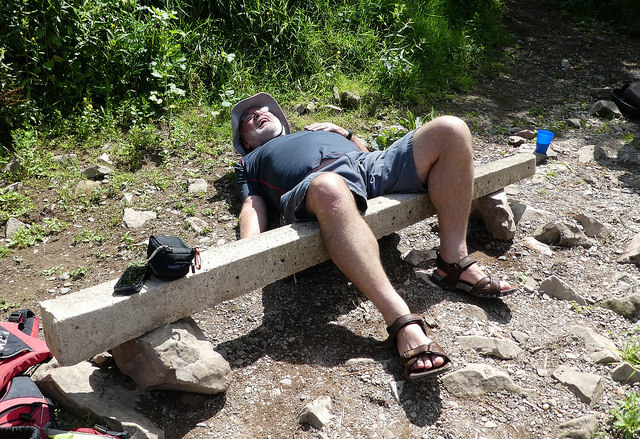
Simon test his nerve at Mornington Falls
The campsite at Bycross Farm is delightfully set in an orchard on the right bank of the river. We had plenty of time to relax and wander down to have a look at the first obstacle of the next morning, Mornington Falls. They are hardly a waterfall in the present conditions as much of the rock has been exposed, leaving just a narrow channel of agitated water for us to follow in the morning.
It is a popular campsite for anybody travelling the river and there were many more arrivals after us. One of the later arrivals was a couple with a labrador, the latter wearing a fluorescent jacket. We immediately jumped to the conclusion that it was a guide dog and that the lady was at least partially sighted, if not blind. We rushed to help carry their kit up the bank, hoist their canoe out of the water and up the ramp. Then we watched the woman, unaided, climb the steps and start carrying her kit across the campsite. She had no visual impairment at all. For our community spirit she gave us some insect repellant.
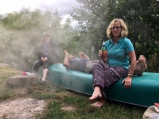
Getting smoked out!
In recent years the facilities at Bycross Farm have been improved and it is a pleasant place to chill out in the evening. Our meal that night was a variety of ready made meals in sachets that just needed to be heated in boiling water for a few minutes. As we had the stove out, I took the opportunity to hard boil a dozen eggs that Sandie and Simon’s chickens had kindly donated to the trip. These would keep us sustained during the long second day. During the evening Simon lit a camp fire and we sat around it, enjoying the peace and tranquility in the fading light.
The following morning the weather forecast did not bode well. It promised to be wet, potentially all day but with a likelihood of it deteriorating as the day went on, turning to heavy rain. In reality it was not as bad as forecast, and we got away with only occasional light drizzle in the morning. It was only in the last hour or so of our 10 hours paddling that it became less pleasant. This was our longest stretch, with 28 miles to paddle between Bycross and Hoarwithy. I think it was a wise decision that we set off at 7.00am, giving us every chance to reach Hoarwithy before the weather became too horrible.
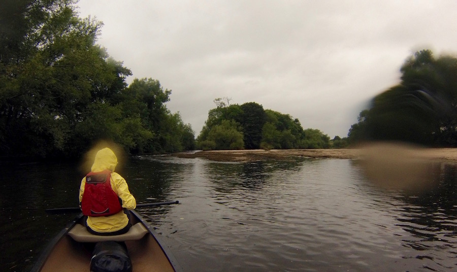
Approaching Mornington Falls
Having successfully managed Mornington Falls, our first target was to reach Hereford, a little over 10 miles downstream.We swapped crews around and Simon put away his pirate’s tricorn hat to protect it from the rain. The overcast weather had brought out the fishermen and we always had to be on our guard not to snag their lines, particularly as many of them were hidden among the bushes lining the banks. Having been warned not to upset them, we found them all to be extremely friendly, engaging in conversation as we passed them.
Looking for breakfast (Photo – Claire Cox)
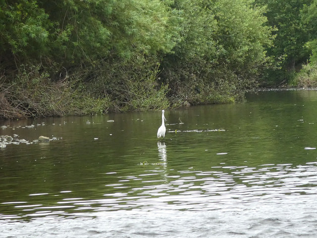
Being on the river earlier in the day meant that we saw much more wildlife as they were all busy feeding. Swans, ducks and Canada Geese were prolific in their number, but we saw several heron, usually where the water was running faster. We had several sightings of kingfisher, usually just a darting flash of blue as, they too, were disturbed by us. The most dramatic and thrilling encounter was with leaping salmon. One of our conversations with a fisherman taught us that the salmon were hanging around in pools waiting for rain to add more water and increase the levels so that they could reach their spawning pools. In the meantime they swam around in the deeper water, occasionally leaping well clear of the surface, sometimes very close to our canoes. With no warnings it was impossible to catch them on camera.
It was also thrilling to see an otter swim across the bows of our canoes before disappearing into the riverbank vegetation. It would have been great to have some form of photographic evidence but sometimes it is better to savour the moment and enjoy it in real time rather than missing the moment while you fumble around with your camera.
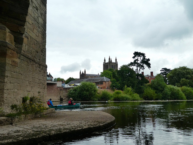
Hereford Cathedral (Photo – Claire Cox)
We reached Hereford in good time and pulled ashore at the rowing clubs steps for a leg stretch and a bite to eat. And then we were off again, passing through the centre of Hereford, not that you would really know it from our position on the river. Just beyond the rowing club is the modern bridge carrying the inner ring road. just beyond the wonderful old stone bridge with the cathedral beyond on the left bank. Once we had passed them there was nothing of Hereford left to see as the banks are quite high and lined with trees and thick vegetation.
Well earned treat at Lucksall
For the rest of the afternoon we paddled and meandered our way downstream with intermittent showers encouraging us to paddle. Passing the confluence of the River Lugg, just a trickle, we came across the up market caravan and camping site at Lucksall. Pulling up to the jetty we took our wet selves into the cafe for a well deserved cup of tea and a treat. We were also able to catch up on what was going on at Wimbledon. We had, by now covered 20 miles and common sense should have told me that to organise it into four equally distanced days would have been better, but as much as I enjoyed the treat, I would not want to stay on this pristine and manicured camp site.
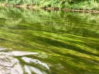
Mesmerising weed drifting in the current
Heading back on to the water we continued towards Hoarwithy. With little to see beyond the banks of the river I passed the time admiring the vivid green weed waving gently in the current of the river. Wherever the weed broke the surface, little white flowers opened. This weed, along with the wide variety of thriving wildlife, confirms what a healthy river the Wye is. It is a treasure of the English countryside and should be rigorously looked after so that it remains so. I could watch these weeds all day as they gently sway from side to side. However, I would rather not paddle through them as they do have a tendency to slow a canoe down.
And then it started to properly rain. Something happens to the brain when it rains. I knew, having done it last year that we should go to the right of Carey Islands, but we went left. Why? Thankfully a fisherman called out to us that we should be on the other side and we managed to squeeze through a gap of narrow, fast-flowing water. Well two of the three canoes did, at least. Mine got stuck on the rocks and I had to get out to push it, with difficulty, into deeper water.
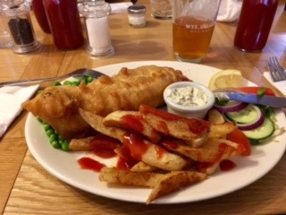
Yummy!
And so, after 28.5 miles we reached our camp at Hoarwithy, a flat but basic site with only portaloos by way of facility. The bonus of camping here is that it is about 300m from The New Harp Inn, a pub that sells excellent beer and even better food. After a series of make do meals, albeit only for two days, we deserved something better after ten hours on the water. There would be no fun in self catering in the wet weather we were experiencing now that we were in camp. We spent a very pleasant evening in the pub and also bought a few extra supplies before we returned to our tents extremely well fed and watered(?).
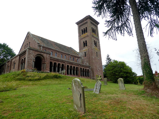
St. Catherine’s Church (Photo – Claire Cox)
The following morning the rain had just about ceased and with the promise of clearing skies we were looking forward to a relatively short day to Ross. But before we could leave we went, while the tents dried a little, to visit the ‘Italianate’ church of St Catherine’s. Standing on the top of a small rise above the village of Hoarwithy, it has such a distinctive stye about it, so much so that it has featured in three films, apparently as a means of saving on production costs. Why go to Italy when you can go to Hoarwithy?
Aye, Aye, Captain
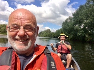
At about half past nine we cast off and set out on the eleven mile journey to Ross, which involved working our way round a massive loop in the river. In Hoarworthy the road sign told us that it was only 5 miles to Ross. We were taking the quiet, scenic route. With good weather, Simon had donned his tricorn hat, which the wearing of seems to make his voice go funny as he assumes a different character. I was partnering him today and while he was definitely captain, I was definitely only the cabin boy!
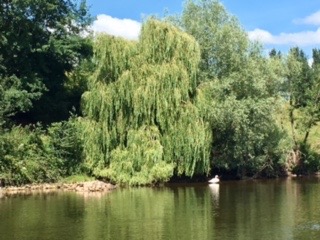
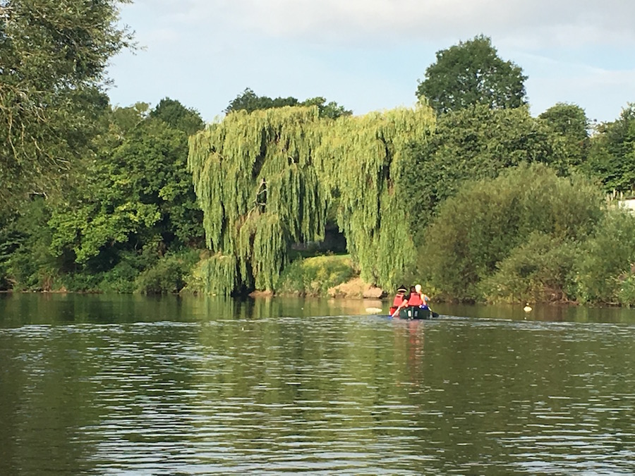
Weeping Willow and swan
This stretch of the river is particularly beautiful. There were so many swan families I lost count. The salmon continued to jump and entertain us and the banter with the fishermen was a joy. Who said fishermen are all grumpy? They were delightfully accommodating, even when we got it wrong and disturbed them. I am particularly attracted to the grace of the weeping willows, which, like the reeds in the river, waft gently in the breeze, creating wonderful flowing shapes as they stretch their branches towards their lifeblood, the river.
I am laughing and not in pain. (Photo – Claire Cox)
We were in no rush, so at a convenient spot we went ashore for me to get the stove out, make a cup of tea and enjoy a biscuit or two. Clearly, this was a favourite spot as there were the remains of a camp fire and a couple of concrete fence posts balanced on rocks to form benches. Having made tea for everybody, I decided to sit on one of the makeshift benches. Not appreciating just how narrow the seats were, I carelessly plonked myself down, my backside missing the concrete post. Momentum and gravity took me backwards and I landed on my back, making sure that I spilt only the minimum amount of tea I was holding in the process. Needless to say, the cameras came out and my demise was well recorded. Thanks, guys!
 Continuing our journey, Simon decided to take us through a arch created by an overhanging branch of a willow tree. It was only when we got to the point of no return that we realised it was, perhaps a little lower than we anticipated, forcing me to lie down as we went under. Embarrassingly, I struggled to get back upright, partly due to the fact that my head was lower than my bottom and partly because I couldn’t stop laughing. Soon the sound of traffic on the busy A40 told us that we were approaching Ross-on-Wye. We had made good time and arrived at the Ross Rowing Club by early afternoon. There we were able to set up camp and use the facilities of the club before exploring Ross and seeking out some refreshment.
The secret garden
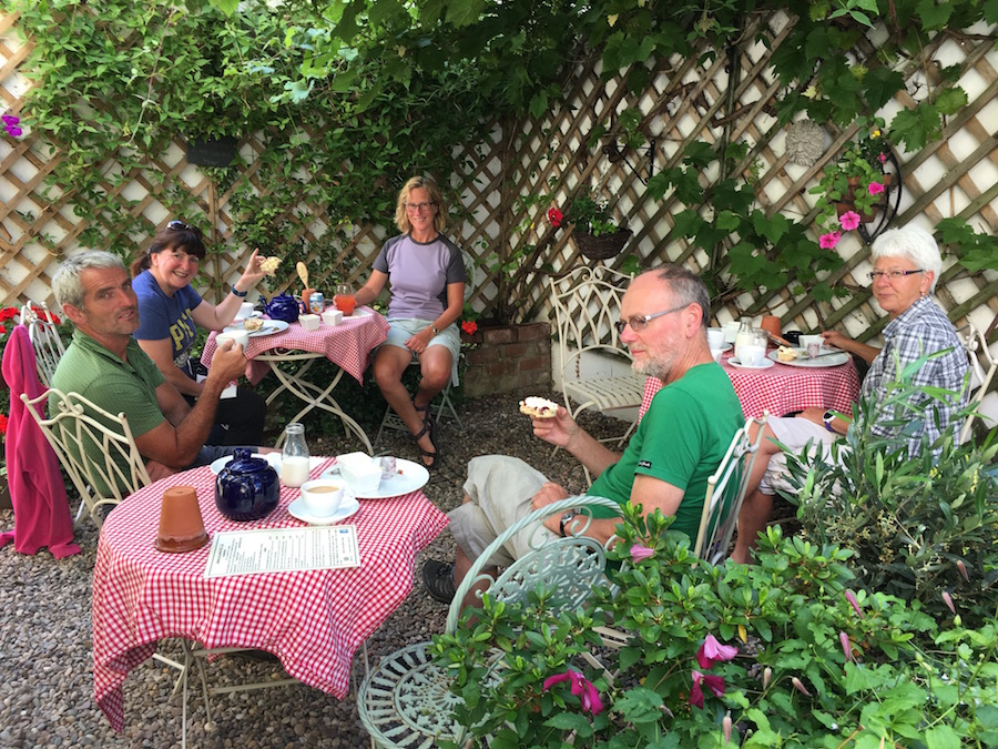
By the time we ventured into Ross it was too late for lunch and, having planned to eat out in the evening, we did not want to overdo it. It would seem that most cafes close at 4.00 or at least stop serving savoury foods. We eventually found Truffles Delicatessen in the heart of old Ross, and although they had stopped serving savouries, they served afternoon teas in their secret garden. The fact that we found other people there suggests that the secret is out. We had a pleasant time there, eating fruit scones with lashings of butter, jam and cream before heading off to explore Ross a bit more thoroughly.
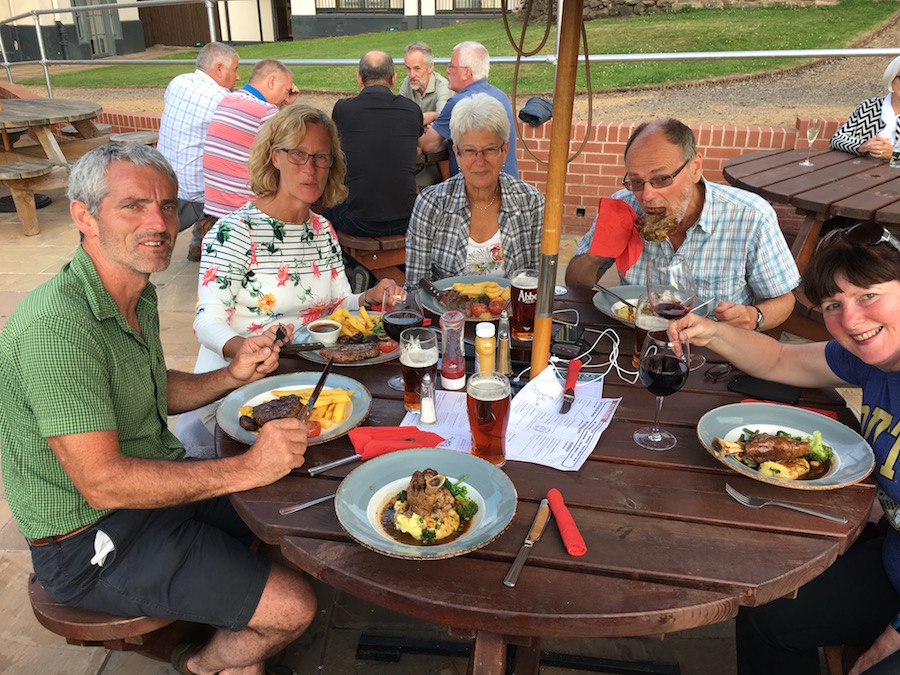
Steaks or lamb shanks all round
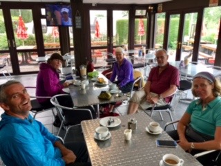
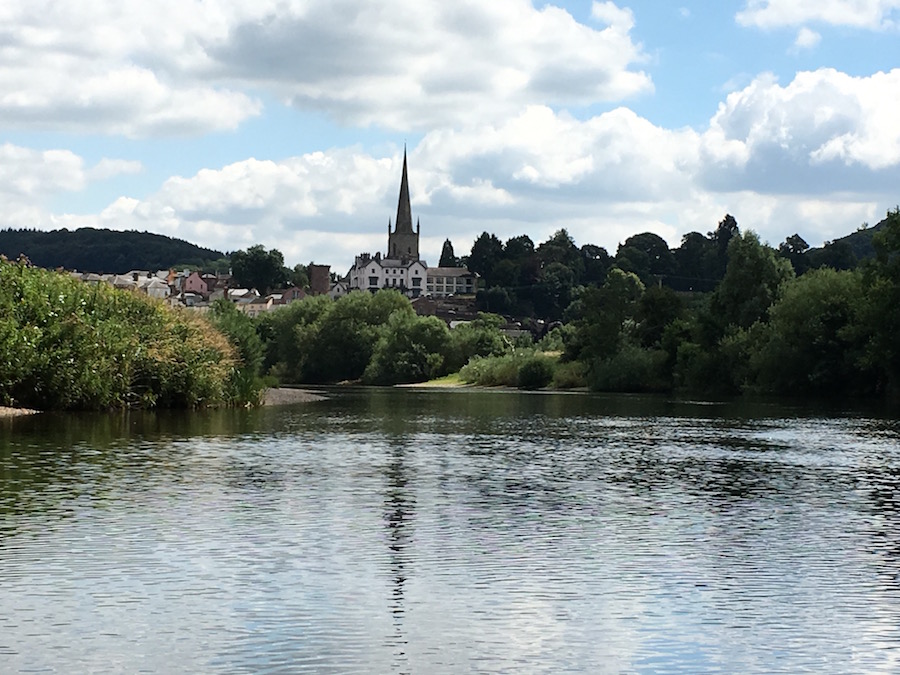
The upper part of Ross, around the church is much more pleasant than the lower part of the town. There are some old buildings and a sense of history about this small riverside market town. The church of St Mary’s, that stands out above all buildings, whether visiting Ross or passing by on the A40, is a magnificent church with a particularly high steeple. The buildings around it all seem to have some historical relevance and importance, including the Royal Hotel, with its wonderful views overlooking the river and surrounding countryside. It was here that we decided to return later for our evening meal.
Early morning fishing perch
With 24 miles to cover on our last day we needed to make an early start. As the morning dawned I became aware of the noise of traffic on the A40. Unable to sleep further, I eventually got up at 5.00am and started to make preparations for breakfast and packing away the kit. Others, prompted by an awareness of activity, emerged from their tents and we were successfully on the water by 7.00am. This was potentially going to be the best day in terms of scenic beauty and the fact that we were away before any others, we had the river to ourselves. I was partnering Sandie and we soon developed a good paddling understanding of each other and a good rhythm.
 The sun shone and the salmon continued to leap spectacularly out of the water. The only disappointment was that the river meanders quite close to the main road at times, and the peace we had come to appreciate was shattered for those periods when we were within its proximity. Nevertheless, we were gradually getting much bigger views from the river as wooded slopes rose steeply from each bank. On the top of one such wooded slope we could see the ramparts of Goodrich Castle perched loftily above the river with far reaching views over the surrounding countryside. Closer to the water’s edge gardens belonging to idyllic houses swept down with willow trees gracefully bowing before us.
Sandie and Simon happy with their performance
Eventually, we reached Symonds Yat and ordered an early lunch from the Olde Ferrie Inn on the west bank. This was to recharge our batteries before we hit the famous Symonds Yat rapids, which are always larger and more violent in the mind than they are in the river. We had a little crew change as Claire trusted my helmanship while Sandie wanted to be with Simon as he would be much easier to blame if things went wrong. Mike and Ann paired up for this last section. Donning our helmets we paddled towards the rapids and one at a time rode them with professional ease, much to our satisfaction and joy. The build up to this moment is with you all the way upstream to Hay, but is over in a matter of seconds.
Claire fiddling with her camera and certainly not paddling!
All that was left now was to cruise through the still, dark waters of the Gorge with fallen trees creating monstrous shapes. Emerging from the gorge we had the mile long stretch into the teeth of a strengthening breeze towards Monmouth. It is amazing the difference a head wind can make, slowing down forward progress significantly and making steering harder. Also, there is no time to relax, because, if you do, you find yourself going backwards. Digging deep, after nearly four days of paddling, we managed to overcome the wind and reach Monmouth Bridge where the river turned south and we were into calmer air.
Approaching Redbrook (Photo – Claire Cox)
From there it was only a matter of two or three miles to Redbrook with a series of interesting boulders strewn about the river. These can act as an obstacle if you try to be clever and weave your way through them. While Mike and Ann, and Sandie and Simon chose a direct line through the boulders, I tried to be clever, much to the disgust of Claire. I don’t think the fisherman on the bank was too impressed either. Having freed myself, I shamefacedly paddled the last few yards to the landing point at Redbrook where Mark from the Ross-on-Wye Canoe Hire Company was there to meet us.
To finish, just a few statistics, curtesy of Claire:
Day 1 Hay to Bycross 17.8 miles at an average of 3.4mph (5.16 hours paddling time)
Day 2 Bycross to Hoarwithy 28.5 miles at an average of 3.6mph (7.53 hours paddling time)
Day 3 Hoarwithy to Ross 11.1 miles at an average of 3.6mph (3.07 hours paddling time)
Day 4 Ross to Redbrook 23.6 miles at an average of 3.9mph (6.03 hours paddling time)
I would like to thank my fellow paddlers for their company over the four days. I think it is fair to say we had a fantastic time on a superb 81 mile stretch of river, a journey to be repeated. Oh, and one more statistic, after all that paddling I put on 2.5kg in four days! How can that happen?

A good read as usual John and a great experience.Many thanks for all your hard work.
Anne
After having had four days to recover, it was now a pleasure to read this, chortle to myself over the funny bits and more easily forget the bad bits.
Thank you again John
Well, let me think…I put on muscle…as evidenced by an “ICE” armband I wore on Sunday and had to let out a centimetre despite wearing thinner clothes than the last time I used it! And muscle is heavy.
Fantastic account John, thanks very much. I hope to join you if you do it again next summer.
lovely account of your paddle, it is a beautiful river. I’ve done sections of it twice now. One of your remarks piqued my interest and actually got my goat a bit… ‘land owners own the river abutting their land’ what nonsense, how can anyone ‘own’ a river it makes my blood boil. These places are national treasures and signs saying ‘keep out’ should be wilfully ignored, it’s the only and righteous way to be!